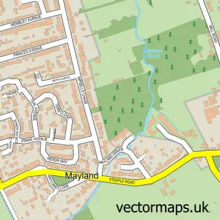
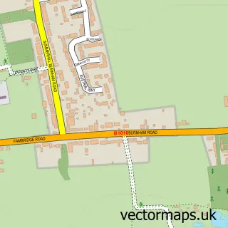
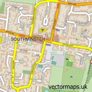
This Maylandsea street map is a detailed vector street map covering a 750m x 750m area. Select a larger area to create and download your own vector street map of Maylandsea.
The 750-metre map sample for Maylandsea covers 417 mapped buildings and approximately 10.2 km of road detail, of which 13 named roads are named. The immediate area includes 1 GP surgery within 2 miles, 2 pubs and 1 MOT station within 2 miles. The wider area around Maylandsea features 1 tourism point of interest and 2 food and drink venues. To create a larger or custom map of Maylandsea, the map builder lets you define your own coverage area and download editable SVG, PDF and PNG files.
Create a larger editable map of Maylandsea
Choose any area you need and generate a high-quality vector map instantly. Perfect for print, planning, design, business and personal use.

This Maylandsea street map in Essex is available as downloadable SVG, PDF and PNG map files, or as a printed map for planning, business, display, education, local information and design work. You can also create a larger custom map area using the map selector.
What this Maylandsea map sample shows
Maylandsea lies within Latchingdon Cp parish, part of Althorne ward in the Maldon District (B) local authority area. The postcode geography for this area includes the CM postcode area, the CM3 postcode district and the CM3 6 postcode sector. Residents fall under the Nhs Mid And South Essex Integrated Care Board for NHS services.
Local features near Maylandsea
Within 2 milesAmenities and services in and around Maylandsea.
Administrative and postcode information for Maylandsea
Maylandsea lies within Latchingdon Cp parish, part of Althorne ward in the Maldon District (B) local authority area. The postcode geography for this area includes the CM postcode area, the CM3 postcode district and the CM3 6 postcode sector. Residents fall under the Nhs Mid And South Essex Integrated Care Board for NHS services.
Nearby street map samples around Maylandsea
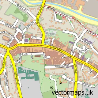

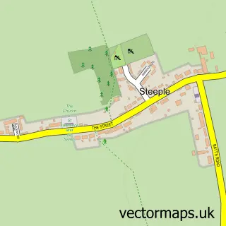
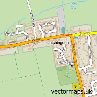
More street maps in Essex
750 metre map area coverage
Boundary, postcode and point of interest information for the 750m x 750m rectangle centred on this sample map.
Boundaries containing map centre
Constituency: Maldon Co Const
County: Essex County
District: Maldon District (B)
Icb: NHS Essex ICB
Parish: Mayland CP
Police Force: essex
Postcode District: CM3
Postcode Sector: CM3 6
Ward: Althorne Ward
Nearby boundaries intersecting sample
Parish: Maldon CP
Ward: Maldon East Ward, Mayland Ward
Postcode coverage
POI category counts
Bar: 4
Community Services Non Profits: 2
Fish And Chips Restaurant: 2
Indian Restaurant: 2
Pharmacy: 2
Pub: 2
Retail: 2
Shipping Center: 2
Sports Club And League: 2
Bakery: 1
Sample points of interest
- Golden Platter
- Blackwater Quay
- General Lee
- Hardy's
- The Horny Toad
- Pretty Perfect
- Menorca Holiday Villa
- Tenerife Horse Rescue Charity Shop
- Sea-change Sailing Trust
- St Barnabus Family Centre
- Nisa
- Ashleigh West Counselling
Create a larger editable map of Maylandsea
This sample shows only a 750 metre area. To create a larger map of Maylandsea, use our map builder to choose your own coverage area, add titles and download editable SVG, PDF and PNG files.
Create a custom map of Maylandsea