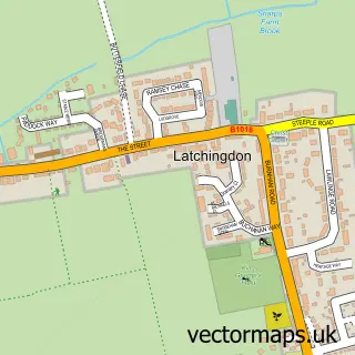
This Southminster street map is a detailed vector street map covering a 750m x 750m area. Select a larger area to create and download your own vector street map of Southminster.
The 750-metre map sample for Southminster covers 618 mapped buildings and approximately 17.8 km of road detail, of which 38 named roads are named. The immediate area includes 1 school, 1 railway station, 1 GP surgery and 4 pubs among other local services. The wider area around Southminster features 1 tourism point of interest and 5 food and drink venues. To create a larger or custom map of Southminster, the map builder lets you define your own coverage area and download editable SVG, PDF and PNG files.
Create a larger editable map of Southminster
Choose any area you need and generate a high-quality vector map instantly. Perfect for print, planning, design, business and personal use.

This Southminster street map in Essex is available as downloadable SVG, PDF and PNG map files, or as a printed map for planning, business, display, education, local information and design work. You can also create a larger custom map area using the map selector.
What this Southminster map sample shows
Southminster lies within Southminster Cp parish, part of Southminster ward in the Maldon District (B) local authority area. The postcode geography for this area includes the CM postcode area, the CM0 postcode district and the CM0 7 postcode sector. Residents fall under the Nhs Mid And South Essex Integrated Care Board for NHS services.
Local features near Southminster
Within 2 milesAmenities and services in and around Southminster.
Administrative and postcode information for Southminster
Southminster lies within Southminster Cp parish, part of Southminster ward in the Maldon District (B) local authority area. The postcode geography for this area includes the CM postcode area, the CM0 postcode district and the CM0 7 postcode sector. Residents fall under the Nhs Mid And South Essex Integrated Care Board for NHS services.
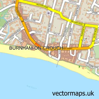
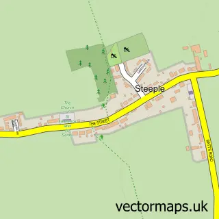
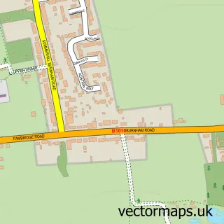
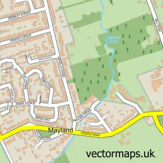
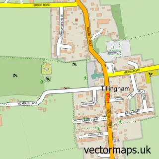
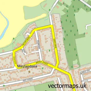
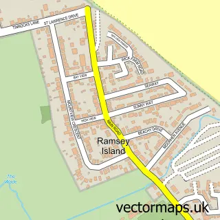
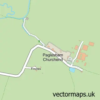
Nearby street map samples around Southminster

More street maps in Essex
750 metre map area coverage
Boundary, postcode and point of interest information for the 750m x 750m rectangle centred on this sample map.
Boundaries containing map centre
Constituency: Maldon Co Const
County: Essex County
District: Maldon District (B)
Icb: NHS Essex ICB
Parish: Southminster CP
Police Force: essex
Postcode District: CM0
Postcode Sector: CM0 7
Ward: Southminster Ward
Nearby boundaries intersecting sample
No additional intersecting boundaries found.
Postcode coverage
POI category counts
Post Office: 4
Professional Services: 4
Pub: 4
Convenience Store: 3
Anglican Church: 2
Bakery: 2
Beauty Salon: 2
Building Supply Store: 2
Doctor: 2
Driving School: 2
Sample points of interest
- Stitch Print
- Saint Leonard's Church Southminster
- St Leonard's Church
- Simply Stoves Ltd.
- Jasmin Oriental
- Barclays ATM
- Southminster King George Field
- Insurance Solutions
- Dengie Electronics
- Burnham Bakery
- Lady Room Cakes
- Barclays
Create a larger editable map of Southminster
This sample shows only a 750 metre area. To create a larger map of Southminster, use our map builder to choose your own coverage area, add titles and download editable SVG, PDF and PNG files.
Create a custom map of Southminster