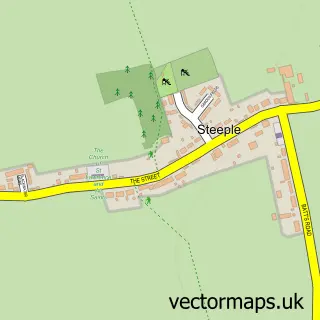
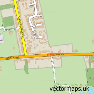
This Tillingham street map is a detailed vector street map covering a 750m x 750m area. Select a larger area to create and download your own vector street map of Tillingham.
The 750-metre map sample for Tillingham covers 316 mapped buildings and approximately 12.9 km of road detail, of which 18 named roads are named. The immediate area includes 1 school, 1 GP surgery, 3 pubs and 1 MOT station within 2 miles. The wider area around Tillingham features 4 food and drink venues. To create a larger or custom map of Tillingham, the map builder lets you define your own coverage area and download editable SVG, PDF and PNG files.
Create a larger editable map of Tillingham
Choose any area you need and generate a high-quality vector map instantly. Perfect for print, planning, design, business and personal use.

This Tillingham street map in Essex is available as downloadable SVG, PDF and PNG map files, or as a printed map for planning, business, display, education, local information and design work. You can also create a larger custom map area using the map selector.
What this Tillingham map sample shows
Tillingham lies within Tillingham Cp parish, part of Tillingham ward in the Maldon District (B) local authority area. The postcode geography for this area includes the CM postcode area, the CM0 postcode district and the CM0 7 postcode sector. Residents fall under the Nhs Mid And South Essex Integrated Care Board for NHS services.
Local features near Tillingham
Within 2 milesAmenities and services in and around Tillingham.
Administrative and postcode information for Tillingham
Tillingham lies within Tillingham Cp parish, part of Tillingham ward in the Maldon District (B) local authority area. The postcode geography for this area includes the CM postcode area, the CM0 postcode district and the CM0 7 postcode sector. Residents fall under the Nhs Mid And South Essex Integrated Care Board for NHS services.
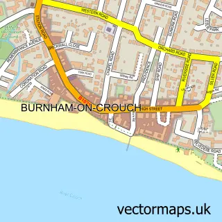
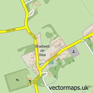
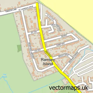
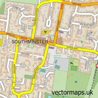
Nearby street map samples around Tillingham

More street maps in Essex
750 metre map area coverage
Boundary, postcode and point of interest information for the 750m x 750m rectangle centred on this sample map.
Boundaries containing map centre
Constituency: Maldon Co Const
County: Essex County
District: Maldon District (B)
Icb: NHS Essex ICB
Parish: Tillingham CP
Police Force: essex
Postcode District: CM0
Postcode Sector: CM0 7
Ward: Tillingham Ward
Nearby boundaries intersecting sample
No additional intersecting boundaries found.
Postcode coverage
POI category counts
Pub: 3
Sports Club And League: 3
Elementary School: 2
Forestry Service: 2
Shipping Center: 2
Accountant: 1
Anglican Church: 1
Bar: 1
Beauty Salon: 1
Bed And Breakfast: 1
Sample points of interest
- Oyster Accountants
- Tillingham: St Nicholas
- Cap & Feather Inn
- Aesthetic Coach Essex
- Burnt Mill Cottage
- Dengie Property Care
- Cap Coffee
- CTC Services Essex Limited
- Flue Doctors
- Londis
- Paul Lasky Dog Training & Behaviour
- St Nicholas Primary School, Tillingham
Create a larger editable map of Tillingham
This sample shows only a 750 metre area. To create a larger map of Tillingham, use our map builder to choose your own coverage area, add titles and download editable SVG, PDF and PNG files.
Create a custom map of Tillingham