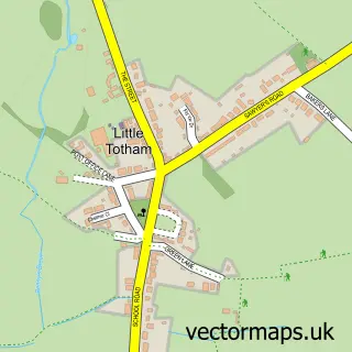
This Tollesbury street map is a detailed vector street map covering a 750m x 750m area. Select a larger area to create and download your own vector street map of Tollesbury.
The 750-metre map sample for Tollesbury covers 288 mapped buildings and approximately 11.3 km of road detail, of which 19 named roads are named. The immediate area includes 1 school, 1 GP surgery, 1 pub and 1 MOT station, with 2 within 2 miles. The wider area around Tollesbury features 2 tourism points of interest and 1 food and drink venue. To create a larger or custom map of Tollesbury, the map builder lets you define your own coverage area and download editable SVG, PDF and PNG files.
Create a larger editable map of Tollesbury
Choose any area you need and generate a high-quality vector map instantly. Perfect for print, planning, design, business and personal use.

This Tollesbury street map in Essex is available as downloadable SVG, PDF and PNG map files, or as a printed map for planning, business, display, education, local information and design work. You can also create a larger custom map area using the map selector.
What this Tollesbury map sample shows
Tollesbury lies within Tollesbury Cp parish, part of Tolleshunt D'arcy ward in the Maldon District (B) local authority area. The postcode geography for this area includes the CM postcode area, the CM9 postcode district and the CM9 8 postcode sector. Residents fall under the Nhs Mid And South Essex Integrated Care Board for NHS services.
Local features near Tollesbury
Within 2 milesAmenities and services in and around Tollesbury.
Administrative and postcode information for Tollesbury
The local authority covering Tollesbury is Maldon District (B), within the county of Essex. The settlement lies within Tolleshunt D'arcy ward and Tollesbury Cp civil parish. The CM9 postcode district and CM9 8 postcode sector serve the immediate area. NHS provision in the area is delivered through East Suffolk And North Essex Nhs Foundation Trust.
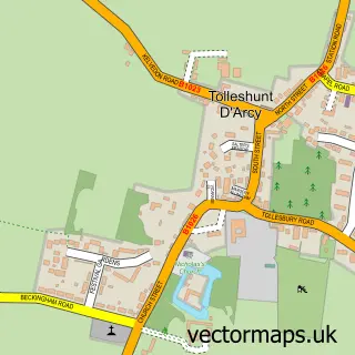
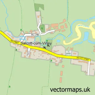
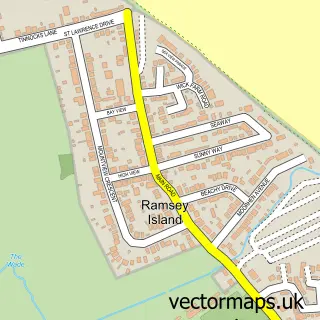
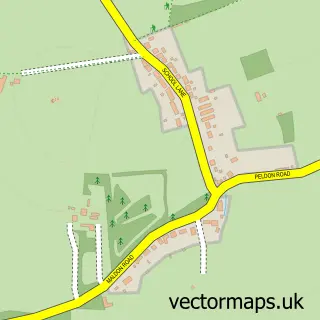
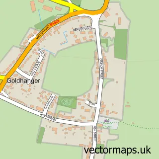
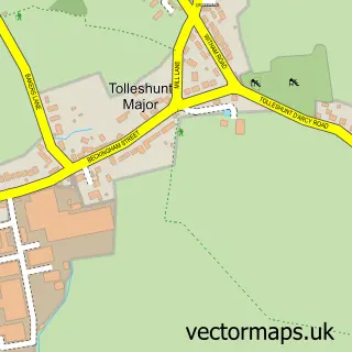
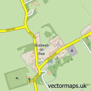
Nearby street map samples around Tollesbury

More street maps in Essex
750 metre map area coverage
Boundary, postcode and point of interest information for the 750m x 750m rectangle centred on this sample map.
Boundaries containing map centre
Constituency: Witham Co Const
County: Essex County
District: Maldon District (B)
Icb: NHS Essex ICB
Parish: Tollesbury CP
Police Force: essex
Postcode District: CM9
Postcode Sector: CM9 8
Ward: Tolleshunt D'arcy Ward
Nearby boundaries intersecting sample
Ward: Tollesbury Ward
Postcode coverage
POI category counts
Advertising Agency: 3
Beauty And Spa: 3
Church Cathedral: 3
Bookstore: 2
Convenience Store: 2
Doctor: 2
Social Service Organizations: 2
Alternative Medicine: 1
Anglican Church: 1
Art Gallery: 1
Sample points of interest
- Circleline Design
- Fuff International
- SC Training and Consultancy
- Health Quantum
- Tollesbury: St Mary the Virgin
- Whimbrelart
- Morrisons Daily - Tollesbury High Street, Tollesbury
- JH Palmer
- Cloud Knight
- Styled by Samantha
- The Beauty Lodge with Shae
- Tollesbury Square
Create a larger editable map of Tollesbury
This sample shows only a 750 metre area. To create a larger map of Tollesbury, use our map builder to choose your own coverage area, add titles and download editable SVG, PDF and PNG files.
Create a custom map of Tollesbury