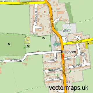
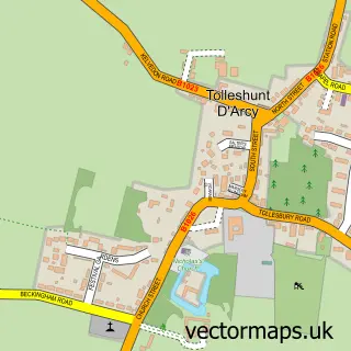
This Bradwell on Sea street map is a detailed vector street map covering a 750m x 750m area. Select a larger area to create and download your own vector street map of Bradwell on Sea.
The 750-metre map sample for Bradwell on Sea covers 96 mapped buildings and approximately 7.7 km of road detail, of which 6 named roads are named. The immediate area includes 1 school, 1 pub and 1 MOT station within 2 miles. The wider area around Bradwell on Sea features 1 food and drink venue and 1 hotel. To create a larger or custom map of Bradwell on Sea, the map builder lets you define your own coverage area and download editable SVG, PDF and PNG files.
Create a larger editable map of Bradwell on Sea
Choose any area you need and generate a high-quality vector map instantly. Perfect for print, planning, design, business and personal use.

This Bradwell on Sea street map in Essex is available as downloadable SVG, PDF and PNG map files, or as a printed map for planning, business, display, education, local information and design work. You can also create a larger custom map area using the map selector.
What this Bradwell on Sea map sample shows
Bradwell on Sea lies within Bradwell-On-Sea Cp parish, part of Tillingham ward in the Maldon District (B) local authority area. The postcode geography for this area includes the CM postcode area, the CM0 postcode district and the CM0 7 postcode sector. Residents fall under the Nhs Mid And South Essex Integrated Care Board for NHS services.
Local features near Bradwell on Sea
Within 2 milesAmenities and services in and around Bradwell on Sea.
Administrative and postcode information for Bradwell on Sea
The local authority covering Bradwell on Sea is Maldon District (B), within the county of Essex. The settlement lies within Tillingham ward and Bradwell-On-Sea Cp civil parish. The CM0 postcode district and CM0 7 postcode sector serve the immediate area. NHS provision in the area is delivered through Mid And South Essex Nhs Foundation Trust.
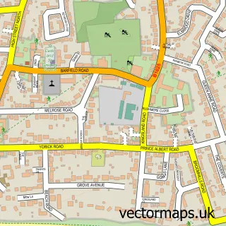
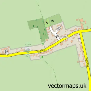
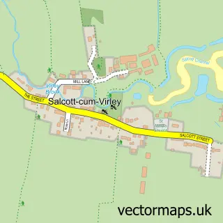
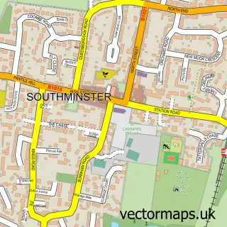
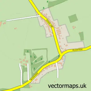
Nearby street map samples around Bradwell on Sea

More street maps in Essex
750 metre map area coverage
Boundary, postcode and point of interest information for the 750m x 750m rectangle centred on this sample map.
Boundaries containing map centre
Constituency: Maldon Co Const
County: Essex County
District: Maldon District (B)
Icb: NHS Essex ICB
Parish: Bradwell-on-Sea CP
Police Force: essex
Postcode District: CM0
Postcode Sector: CM0 7
Ward: Tillingham Ward
Nearby boundaries intersecting sample
No additional intersecting boundaries found.
Postcode coverage
POI category counts
Church Cathedral: 2
Post Office: 2
Elementary School: 1
Event Planning: 1
Financial Advising: 1
Hotel: 1
Indian Restaurant: 1
Pharmaceutical Products Wholesaler: 1
Pub: 1
Religious Organization: 1
Sample points of interest
- St Thomas Parish Church
- St Thomas's Church
- St Cedd's C of E Voluntary Aided Primary School
- Bradwell-on-Sea Village Hall
- Integra Technical Services
- Bradwell Village Hall & Caravan Rally Site
- Oasis indian dining
- Southminster Pharmacy
- Bradwell Community Shop
- Bradwell-on-Sea Post Office
- The Kings Head
- St Peters Chapel
Create a larger editable map of Bradwell on Sea
This sample shows only a 750 metre area. To create a larger map of Bradwell on Sea, use our map builder to choose your own coverage area, add titles and download editable SVG, PDF and PNG files.
Create a custom map of Bradwell on Sea