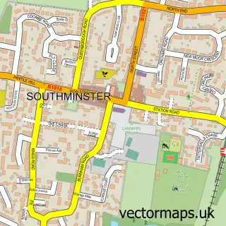
This Steeple street map is a detailed vector street map covering a 750m x 750m area. Select a larger area to create and download your own vector street map of Steeple.
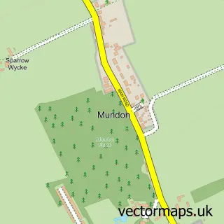
The 750-metre map sample for Steeple covers 107 mapped buildings and approximately 7.1 km of road detail, of which 5 named roads are named. The immediate area includes 1 GP surgery within 2 miles, 1 pub and 1 MOT station within 2 miles. The wider area around Steeple features 1 food and drink venue. To create a larger or custom map of Steeple, the map builder lets you define your own coverage area and download editable SVG, PDF and PNG files.
Create a larger editable map of Steeple
Choose any area you need and generate a high-quality vector map instantly. Perfect for print, planning, design, business and personal use.

This Steeple street map in Essex is available as downloadable SVG, PDF and PNG map files, or as a printed map for planning, business, display, education, local information and design work. You can also create a larger custom map area using the map selector.
What this Steeple map sample shows
Steeple lies within Steeple Cp parish, part of Mayland ward in the Maldon District (B) local authority area. The postcode geography for this area includes the CM postcode area, the CM0 postcode district and the CM0 7 postcode sector. Residents fall under the Nhs Mid And South Essex Integrated Care Board for NHS services.
Local features near Steeple
Within 2 milesAmenities and services in and around Steeple.
Administrative and postcode information for Steeple
Steeple lies within Steeple Cp parish, part of Mayland ward in the Maldon District (B) local authority area. The postcode geography for this area includes the CM postcode area, the CM0 postcode district and the CM0 7 postcode sector. Residents fall under the Nhs Mid And South Essex Integrated Care Board for NHS services.
Nearby street map samples around Steeple

More street maps in Essex
750 metre map area coverage
Boundary, postcode and point of interest information for the 750m x 750m rectangle centred on this sample map.
Boundaries containing map centre
Constituency: Maldon Co Const
County: Essex County
District: Maldon District (B)
Icb: NHS Essex ICB
Parish: Steeple CP
Police Force: essex
Postcode District: CM0
Postcode Sector: CM0 7
Ward: Mayland Ward
Nearby boundaries intersecting sample
No additional intersecting boundaries found.
Postcode coverage
POI category counts
Bar: 3
Anglican Church: 1
Beauty And Spa: 1
Car Dealer: 1
Church Cathedral: 1
Construction Services: 1
Garbage Collection Service: 1
Pub: 1
Storage Facility: 1
Wholesale Florist: 1
Sample points of interest
- Steeple: St Lawrence & All Saints
- Sun & Anchor Inn
- Sun And Anchor Pub Steeple
- The Best Bar None Mobile Bar Hire
- Beau Locks & Beauty Essex
- Car Hunters
- Steeple, Essex
- KB Contracts
- C & H Skip Hire
- The Star
- Nice Man With a Van
- The Flower Shed
Create a larger editable map of Steeple
This sample shows only a 750 metre area. To create a larger map of Steeple, use our map builder to choose your own coverage area, add titles and download editable SVG, PDF and PNG files.
Create a custom map of Steeple