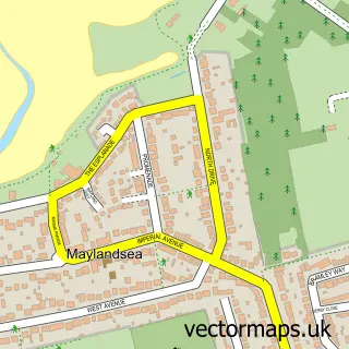
This Burnham-on-Crouch street map is a detailed vector street map covering a 750m x 750m area. Select a larger area to create and download your own vector street map of Burnham-on-Crouch.
The 750-metre map sample for Burnham-on-Crouch covers 431 mapped buildings and approximately 12.0 km of road detail, of which 28 named roads are named. The immediate area includes 1 GP surgery within 2 miles, 5 pubs and 4 MOT stations within 2 miles. The wider area around Burnham-on-Crouch features 4 tourism points of interest, 15 food and drink venues and 5 hotels. To create a larger or custom map of Burnham-on-Crouch, the map builder lets you define your own coverage area and download editable SVG, PDF and PNG files.
Create a larger editable map of Burnham-on-Crouch
Choose any area you need and generate a high-quality vector map instantly. Perfect for print, planning, design, business and personal use.

This Burnham-on-Crouch street map in Essex is available as downloadable SVG, PDF and PNG map files, or as a printed map for planning, business, display, education, local information and design work. You can also create a larger custom map area using the map selector.
What this Burnham-on-Crouch map sample shows
Burnham-on-Crouch lies within Burnham-On-Crouch Cp parish, part of Burnham-On-Crouch North ward in the Maldon District (B) local authority area. The postcode geography for this area includes the CM postcode area, the CM0 postcode district and the CM0 8 postcode sector. Residents fall under the Nhs Mid And South Essex Integrated Care Board for NHS services.
Local features near Burnham-on-Crouch
Within 2 milesAmenities and services in and around Burnham-on-Crouch.
Administrative and postcode information for Burnham-on-Crouch
The local authority covering Burnham-on-Crouch is Maldon District (B), within the county of Essex. The settlement lies within Burnham-On-Crouch North ward and Burnham-On-Crouch Cp civil parish. The CM0 postcode district and CM0 8 postcode sector serve the immediate area. NHS provision in the area is delivered through Mid And South Essex Nhs Foundation Trust.
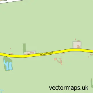
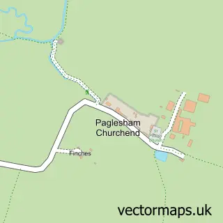
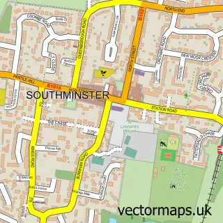
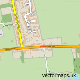
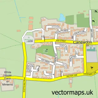
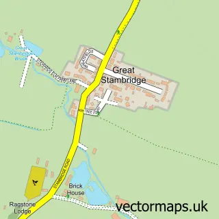
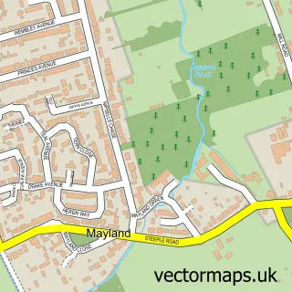
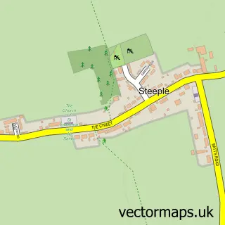
Nearby street map samples around Burnham-on-Crouch

More street maps in Essex
750 metre map area coverage
Boundary, postcode and point of interest information for the 750m x 750m rectangle centred on this sample map.
Boundaries containing map centre
Constituency: Maldon Co Const
County: Essex County
District: Maldon District (B)
Icb: NHS Essex ICB
Parish: Burnham-on-Crouch CP
Police Force: essex
Postcode District: CM0
Postcode Sector: CM0 8
Ward: Burnham-on-Crouch South Ward
Nearby boundaries intersecting sample
Constituency: Southend East and Rochford Co Const
District: Rochford District
Parish: Canewdon CP
Ward: Roche North & Rural Ward
Postcode coverage
POI category counts
Hair Salon: 6
Hotel: 5
Pub: 5
Sports Club And League: 5
Barber: 4
Flowers And Gifts Shop: 4
Restaurant: 4
Beauty Salon: 3
Cafe: 3
Coffee Shop: 3
Sample points of interest
- Harvey Smith & Co
- RBOD Class
- Wayne Boughen Design
- Burnham Osteopathic Clinic
- Priors Boatyard
- Templeman Galleries
- Prints & Needles
- Burnham Art Trail
- Burnham War Memorial
- Altered Image Tile Gallery
- Petticrows
- Fairways Chandlery
Create a larger editable map of Burnham-on-Crouch
This sample shows only a 750 metre area. To create a larger map of Burnham-on-Crouch, use our map builder to choose your own coverage area, add titles and download editable SVG, PDF and PNG files.
Create a custom map of Burnham-on-Crouch