This Tolleshunt D'Arcy street map is a detailed vector street map covering a 750m x 750m area. Select a larger area to create and download your own vector street map of Tolleshunt D'Arcy.
The 750-metre map sample for Tolleshunt D'Arcy covers 208 mapped buildings and approximately 13.1 km of road detail, of which 14 named roads are named. The immediate area includes 1 school, 1 GP surgery within 2 miles, 2 pubs and 1 MOT station within 2 miles. The wider area around Tolleshunt D'Arcy features 2 food and drink venues. To create a larger or custom map of Tolleshunt D'Arcy, the map builder lets you define your own coverage area and download editable SVG, PDF and PNG files.
Create a larger editable map of Tolleshunt D'Arcy
Choose any area you need and generate a high-quality vector map instantly. Perfect for print, planning, design, business and personal use.

This Tolleshunt D'Arcy street map in Essex is available as downloadable SVG, PDF and PNG map files, or as a printed map for planning, business, display, education, local information and design work. You can also create a larger custom map area using the map selector.
What this Tolleshunt D'Arcy map sample shows
Tolleshunt D'Arcy lies within Tolleshunt D'arcy Cp parish, part of Tolleshunt D'arcy ward in the Maldon District (B) local authority area. The postcode geography for this area includes the CM postcode area, the CM9 postcode district and the CM9 8 postcode sector. Residents fall under the Nhs Mid And South Essex Integrated Care Board for NHS services.
Local features near Tolleshunt D'Arcy
Within 2 milesAmenities and services in and around Tolleshunt D'Arcy.
Administrative and postcode information for Tolleshunt D'Arcy
Tolleshunt D'Arcy lies within Tolleshunt D'arcy Cp parish, part of Tolleshunt D'arcy ward in the Maldon District (B) local authority area. The postcode geography for this area includes the CM postcode area, the CM9 postcode district and the CM9 8 postcode sector. Residents fall under the Nhs Mid And South Essex Integrated Care Board for NHS services.
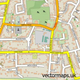
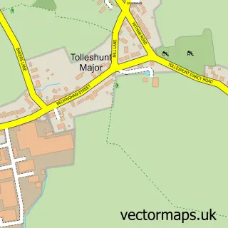
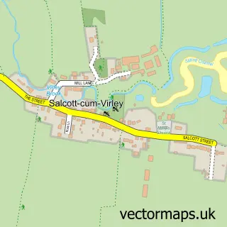
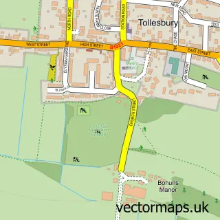
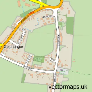
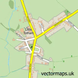
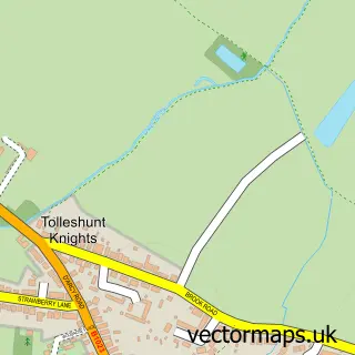
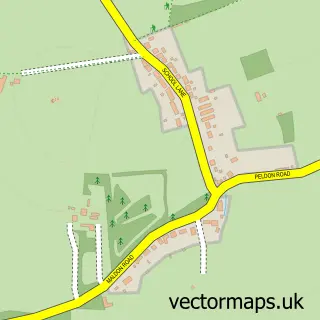
Nearby street map samples around Tolleshunt D'Arcy

More street maps in Essex
750 metre map area coverage
Boundary, postcode and point of interest information for the 750m x 750m rectangle centred on this sample map.
Boundaries containing map centre
Constituency: Witham Co Const
County: Essex County
District: Maldon District (B)
Icb: NHS Essex ICB
Parish: Tolleshunt D'arcy CP
Police Force: essex
Postcode District: CM9
Postcode Sector: CM9 8
Ward: Tolleshunt D'arcy Ward
Nearby boundaries intersecting sample
No additional intersecting boundaries found.
Postcode coverage
POI category counts
Electrician: 2
Elementary School: 2
Indian Restaurant: 2
Post Office: 2
Professional Services: 2
Pub: 2
Advertising Agency: 1
Anglican Church: 1
Beauty And Spa: 1
Chimney Sweep: 1
Sample points of interest
- Intuitive Design
- Tolleshunt D' Arcy: St Nicholas
- Mary Elizabeth Permanent Makeup and Skincare Clinic
- Beacon Hill Stoves Limited
- St Nicholas's Church
- ABCO Electric Service
- Abco Electric Service Ltd.
- Tolleshunt D'Arcy St. Nicholas CofE VA Primary School
- Tolleshunt D’Arcy St. Nicholas C of E Primary Academy
- Danbury Upholsterers
- Darcy Convenience Store
- Blackwater Gymnastics Club
Create a larger editable map of Tolleshunt D'Arcy
This sample shows only a 750 metre area. To create a larger map of Tolleshunt D'Arcy, use our map builder to choose your own coverage area, add titles and download editable SVG, PDF and PNG files.
Create a custom map of Tolleshunt D'Arcy