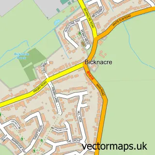
This Stow Maries street map is a detailed vector street map covering a 750m x 750m area. Select a larger area to create and download your own vector street map of Stow Maries.
The 750-metre map sample for Stow Maries covers 116 mapped buildings and approximately 6.7 km of road detail, of which 5 named roads are named. The immediate area includes 1 pub and 3 MOT stations within 2 miles. The wider area around Stow Maries features 1 food and drink venue and 1 hotel. To create a larger or custom map of Stow Maries, the map builder lets you define your own coverage area and download editable SVG, PDF and PNG files.
Create a larger editable map of Stow Maries
Choose any area you need and generate a high-quality vector map instantly. Perfect for print, planning, design, business and personal use.

This Stow Maries street map in Essex is available as downloadable SVG, PDF and PNG map files, or as a printed map for planning, business, display, education, local information and design work. You can also create a larger custom map area using the map selector.
What this Stow Maries map sample shows
Stow Maries lies within Stow Maries Cp parish, part of Purleigh ward in the Maldon District (B) local authority area. The postcode geography for this area includes the CM postcode area, the CM3 postcode district and the CM3 6 postcode sector. Residents fall under the Nhs Mid And South Essex Integrated Care Board for NHS services.
Local features near Stow Maries
Within 2 milesAmenities and services in and around Stow Maries.
Administrative and postcode information for Stow Maries
Stow Maries lies within Stow Maries Cp parish, part of Purleigh ward in the Maldon District (B) local authority area. The postcode geography for this area includes the CM postcode area, the CM3 postcode district and the CM3 6 postcode sector. Residents fall under the Nhs Mid And South Essex Integrated Care Board for NHS services.
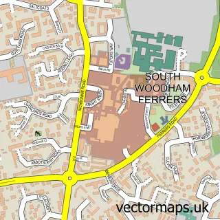
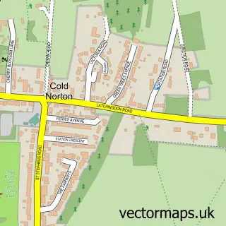
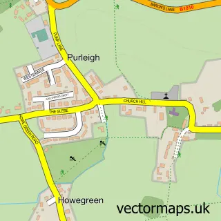
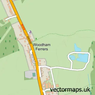
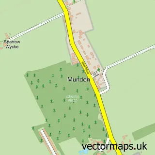
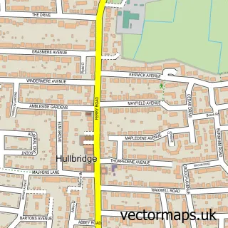
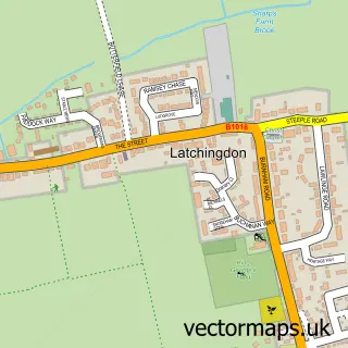
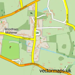
Nearby street map samples around Stow Maries

More street maps in Essex
750 metre map area coverage
Boundary, postcode and point of interest information for the 750m x 750m rectangle centred on this sample map.
Boundaries containing map centre
Constituency: Maldon Co Const
County: Essex County
District: Maldon District (B)
Icb: NHS Essex ICB
Parish: Stow Maries CP
Police Force: essex
Postcode District: CM3
Postcode Sector: CM3 6
Ward: Purleigh Ward
Nearby boundaries intersecting sample
Parish: Cold Norton CP
Postcode coverage
POI category counts
Anglican Church: 1
Car Wash: 1
Hotel: 1
Osteopathic Physician: 1
Pub: 1
Town Hall: 1
Train Station: 1
Used Car Dealer: 1
Windows Installation: 1
Sample points of interest
- Stow Maries: St. Mary & St. Margaret
- Hand Car Wash
- Prince Of Wales
- Optimal Health Osteopathy Clinic
- The Prince Of Wales
- Stow Maries
- Stow St Mary Halt railway station
- Stow Car Company
- Supreme Installations
Create a larger editable map of Stow Maries
This sample shows only a 750 metre area. To create a larger map of Stow Maries, use our map builder to choose your own coverage area, add titles and download editable SVG, PDF and PNG files.
Create a custom map of Stow Maries