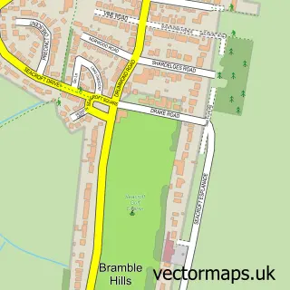
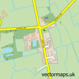
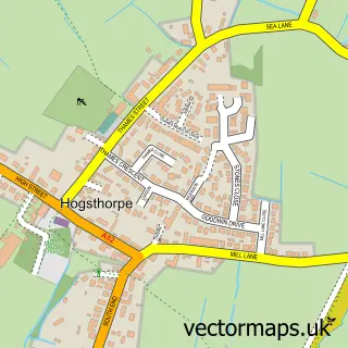
This Skegness street map is a detailed vector street map covering a 750m x 750m area. Select a larger area to create and download your own vector street map of Skegness.
The 750-metre map sample for Skegness covers 355 mapped buildings and approximately 14.7 km of road detail, of which 27 named roads are named. The immediate area includes 2 GP surgeries within 2 miles, 11 pubs and 9 MOT stations within 2 miles. The wider area around Skegness features 16 tourism points of interest, 46 food and drink venues and 35 hotels. To create a larger or custom map of Skegness, the map builder lets you define your own coverage area and download editable SVG, PDF and PNG files.
Create a larger editable map of Skegness
Choose any area you need and generate a high-quality vector map instantly. Perfect for print, planning, design, business and personal use.

This Skegness street map in Lincolnshire is available as downloadable SVG, PDF and PNG map files, or as a printed map for planning, business, display, education, local information and design work. You can also create a larger custom map area using the map selector.
What this Skegness map sample shows
Skegness lies within Skegness Cp parish, part of Scarbrough & Seacroft ward in the East Lindsey District local authority area. The postcode geography for this area includes the PE postcode area, the PE25 postcode district and the PE25 3 postcode sector. Residents fall under the Nhs Lincolnshire Integrated Care Board for NHS services.
Local features near Skegness
Within 2 milesAmenities and services in and around Skegness.
Administrative and postcode information for Skegness
The local authority covering Skegness is East Lindsey District, within the county of Lincolnshire. The settlement lies within Scarbrough & Seacroft ward and Skegness Cp civil parish. The PE25 postcode district and PE25 3 postcode sector serve the immediate area. NHS provision in the area is delivered through United Lincolnshire Hospitals Nhs Trust.
Nearby street map samples around Skegness

More street maps in Lincolnshire
750 metre map area coverage
Boundary, postcode and point of interest information for the 750m x 750m rectangle centred on this sample map.
Boundaries containing map centre
Constituency: Boston and Skegness Co Const
County: Lincolnshire County
District: East Lindsey District
Icb: NHS Lincolnshire ICB
Parish: Skegness CP
Police Force: lincolnshire
Postcode District: PE25
Postcode Sector: PE25 2
Ward: Scarbrough & Seacroft Ward
Nearby boundaries intersecting sample
Postcode Sector: PE25 3
Ward: Winthorpe Ward
Postcode coverage
POI category counts
Hotel: 35
Bar: 16
Clothing Store: 16
Cafe: 14
Beauty Salon: 13
Bed And Breakfast: 13
Amusement Park: 12
Restaurant: 12
Pub: 11
Coffee Shop: 9
Sample points of interest
- Duncan & Toplis
- Duncan & Toplis
- Haines Watts Skegness
- M T Media
- Natterjack Creative
- Atlantis
- Bottons Pleasure Beach
- Coinsville Arcade
- Escape
- Funland Amusements
- Harris Amusements Arcade
- J S Ling Amusements
Create a larger editable map of Skegness
This sample shows only a 750 metre area. To create a larger map of Skegness, use our map builder to choose your own coverage area, add titles and download editable SVG, PDF and PNG files.
Create a custom map of Skegness