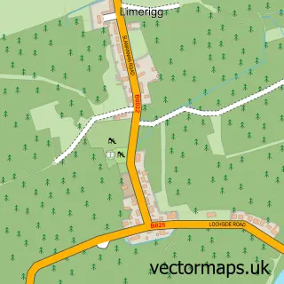
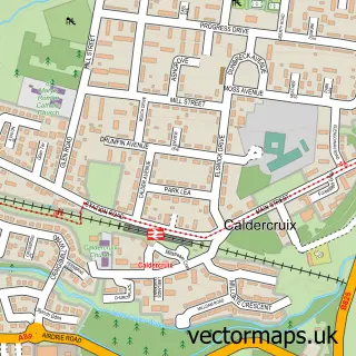
This Slamannan street map is a detailed vector street map covering a 750m x 750m area. Select a larger area to create and download your own vector street map of Slamannan.
The 750-metre map sample for Slamannan covers 240 mapped buildings and approximately 12.9 km of road detail, of which 20 named roads are named. The immediate area includes 1 GP surgery and 1 MOT station. The wider area around Slamannan features 1 food and drink venue. To create a larger or custom map of Slamannan, the map builder lets you define your own coverage area and download editable SVG, PDF and PNG files.
Create a larger editable map of Slamannan
Choose any area you need and generate a high-quality vector map instantly. Perfect for print, planning, design, business and personal use.

This Slamannan street map in Stirling and Falkirk is available as downloadable SVG, PDF and PNG map files, or as a printed map for planning, business, display, education, local information and design work. You can also create a larger custom map area using the map selector.
What this Slamannan map sample shows
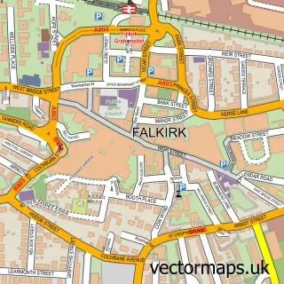
Slamannan lies within Falkirk parish, part of Upper Braes ward in the Falkirk local authority area. The postcode geography for this area includes the FK postcode area, the FK1 postcode district and the FK1 3 postcode sector. Residents fall under the Forth Valley for NHS services.
Local features near Slamannan
Within 2 milesAmenities and services in and around Slamannan.
Administrative and postcode information for Slamannan
The local authority covering Slamannan is Falkirk, within the county of Stirling And Falkirk. The settlement lies within Upper Braes ward and Falkirk civil parish. The FK1 postcode district and FK1 3 postcode sector serve the immediate area. NHS provision in the area is delivered through Forth Valley.
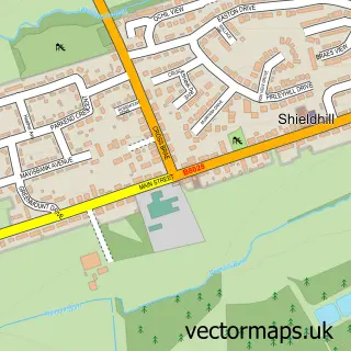
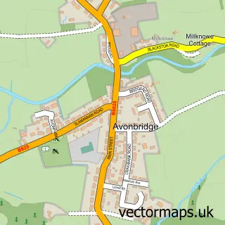
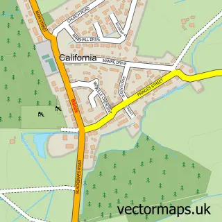
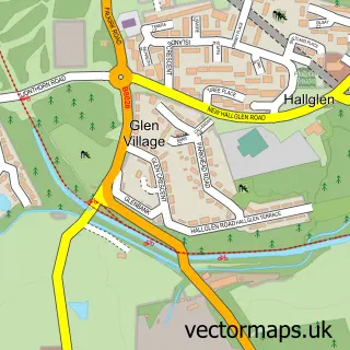
Nearby street map samples around Slamannan

More street maps in Stirling and Falkirk
750 metre map area coverage
Boundary, postcode and point of interest information for the 750m x 750m rectangle centred on this sample map.
Boundaries containing map centre
Constituency: Falkirk Co Const
District: Falkirk
Icb: Forth Valley
Postcode District: FK1
Postcode Sector: FK1 3
Ward: Upper Braes Ward
Nearby boundaries intersecting sample
No additional intersecting boundaries found.
Postcode coverage
POI category counts
Community Center: 2
Elementary School: 2
Sports Club And League: 2
Atms: 1
Bar: 1
Catholic Church: 1
Church Cathedral: 1
Coffee Shop: 1
Community Services Non Profits: 1
Cottage: 1
Sample points of interest
- SHOPSMART/ KO-OP SUPERMARKET (SWAP), Slamannan
- St Laurence Bar
- Slamannan
- Slamannan Parish Church
- Callendar Coffee House
- Falkirk Council Slamannan Community Education Centre
- Slamannan Community Centre
- The Community Pavilion
- The Haven Holiday Cottage
- Slamannan Medical Practice (Slamannan Surgery)
- Gillespie School OF Motoring
- Limerigg Primary School
Create a larger editable map of Slamannan
This sample shows only a 750 metre area. To create a larger map of Slamannan, use our map builder to choose your own coverage area, add titles and download editable SVG, PDF and PNG files.
Create a custom map of Slamannan