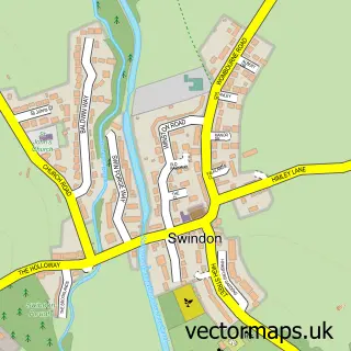
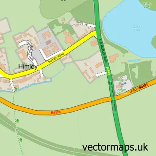
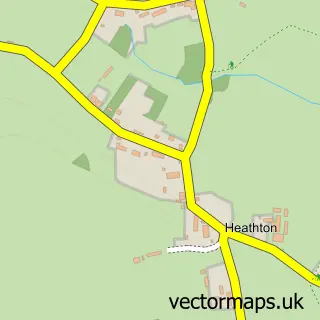
This Smestow street map is a detailed vector street map covering a 750m x 750m area. Select a larger area to create and download your own vector street map of Smestow.
The 750-metre map sample for Smestow covers 116 mapped buildings and approximately 12.1 km of road detail, of which 4 named roads are named. The immediate area includes 2 GP surgeries within 2 miles and 1 MOT station, with 3 within 2 miles. The wider area around Smestow features 1 tourism point of interest. To create a larger or custom map of Smestow, the map builder lets you define your own coverage area and download editable SVG, PDF and PNG files.
Create a larger editable map of Smestow
Choose any area you need and generate a high-quality vector map instantly. Perfect for print, planning, design, business and personal use.

This Smestow street map in Staffordshire is available as downloadable SVG, PDF and PNG map files, or as a printed map for planning, business, display, education, local information and design work. You can also create a larger custom map area using the map selector.
What this Smestow map sample shows
Smestow lies within Swindon Cp parish, part of Himley And Swindon ward in the South Staffordshire District local authority area. The postcode geography for this area includes the DY postcode area, the DY3 postcode district and the DY3 4 postcode sector. Residents fall under the Nhs Staffordshire And Stoke-On-Trent Integrated Care Board for NHS services.
Local features near Smestow
Within 2 milesAmenities and services in and around Smestow.
Administrative and postcode information for Smestow
Smestow lies within Swindon Cp parish, part of Himley And Swindon ward in the South Staffordshire District local authority area. The postcode geography for this area includes the DY postcode area, the DY3 postcode district and the DY3 4 postcode sector. Residents fall under the Nhs Staffordshire And Stoke-On-Trent Integrated Care Board for NHS services.
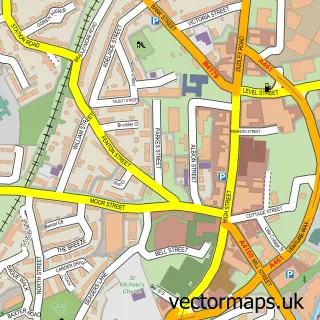
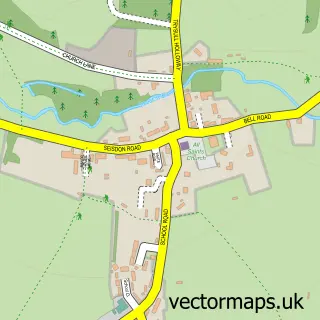
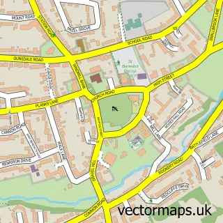
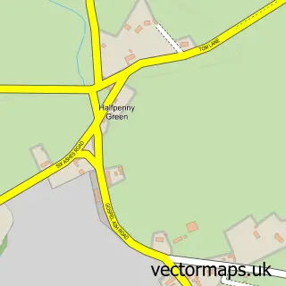
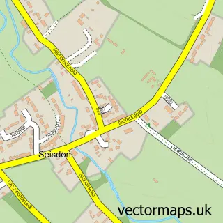
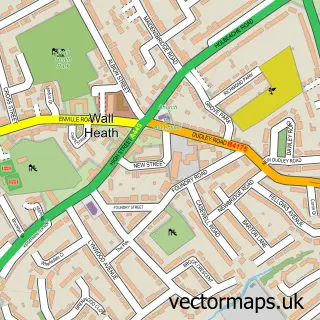
Nearby street map samples around Smestow

More street maps in Staffordshire
750 metre map area coverage
Boundary, postcode and point of interest information for the 750m x 750m rectangle centred on this sample map.
Boundaries containing map centre
Constituency: Kingswinford and South Staffordshire Co Const
County: Staffordshire County
District: South Staffordshire District
Icb: NHS Black Country ICB
Parish: Swindon CP
Police Force: staffordshire
Postcode District: DY3
Postcode Sector: DY3 4
Ward: Himley & Swindon Ward
Nearby boundaries intersecting sample
Parish: Trysull and Seisdon CP, Wombourne CP
Postcode District: WV5
Postcode Sector: WV5 8
Ward: Pattingham, Trysull, Bobbington & Lower Penn Ward, Wombourne South Ward
Postcode coverage
POI category counts
Automotive Repair: 5
Building Supply Store: 4
Car Dealer: 3
Professional Services: 3
Party And Event Planning: 2
Advertising Agency: 1
Arts And Entertainment: 1
Automotive: 1
Business Manufacturing And Supply: 1
Butcher Shop: 1
Sample points of interest
- Ajooni
- Jazz Unlimited
- Phoenix 4x4
- AJD Motor Services
- DMM West Midlands Ltd
- Moss Mobile Mechanic ltd
- Performance Torque
- Wombourne Service
- Air 2 Events
- Edwards Gardenscapes
- KV Interiors
- Wombourne Windows
Create a larger editable map of Smestow
This sample shows only a 750 metre area. To create a larger map of Smestow, use our map builder to choose your own coverage area, add titles and download editable SVG, PDF and PNG files.
Create a custom map of Smestow