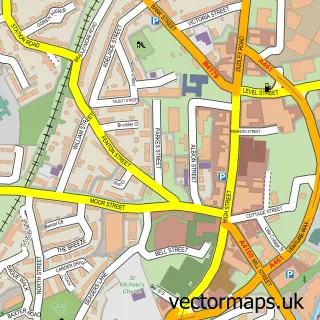
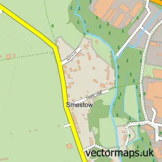
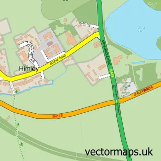
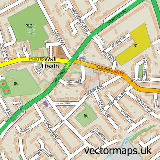
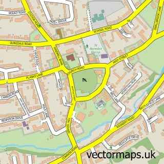
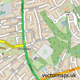
This Swindon street map is a detailed vector street map covering a 750m x 750m area. Select a larger area to create and download your own vector street map of Swindon.
The 750-metre map sample for Swindon covers 204 mapped buildings and approximately 37.1 km of road detail, of which 19 named roads are named. The immediate area includes 1 school, 4 GP surgeries within 2 miles, 3 pubs and 7 MOT stations within 2 miles. The wider area around Swindon features 4 food and drink venues. To create a larger or custom map of Swindon, the map builder lets you define your own coverage area and download editable SVG, PDF and PNG files.
Create a larger editable map of Swindon
Choose any area you need and generate a high-quality vector map instantly. Perfect for print, planning, design, business and personal use.

This Swindon street map in Staffordshire is available as downloadable SVG, PDF and PNG map files, or as a printed map for planning, business, display, education, local information and design work. You can also create a larger custom map area using the map selector.
What this Swindon map sample shows
Swindon lies within Swindon Cp parish, part of Himley And Swindon ward in the South Staffordshire District local authority area. The postcode geography for this area includes the DY postcode area, the DY3 postcode district and the DY3 4 postcode sector. Residents fall under the Nhs Staffordshire And Stoke-On-Trent Integrated Care Board for NHS services.
Local features near Swindon
Within 2 milesAmenities and services in and around Swindon.
Administrative and postcode information for Swindon
The local authority covering Swindon is South Staffordshire District, within the county of Staffordshire. The settlement lies within Himley And Swindon ward and Swindon Cp civil parish. The DY3 postcode district and DY3 4 postcode sector serve the immediate area. NHS provision in the area is delivered through The Dudley Group Nhs Foundation Trust.
Nearby street map samples around Swindon

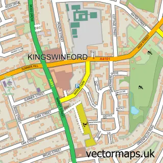
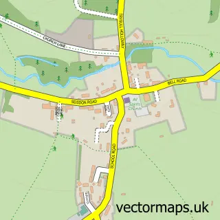
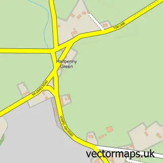
More street maps in Staffordshire
750 metre map area coverage
Boundary, postcode and point of interest information for the 750m x 750m rectangle centred on this sample map.
Boundaries containing map centre
Constituency: Kingswinford and South Staffordshire Co Const
County: Staffordshire County
District: South Staffordshire District
Icb: NHS Black Country ICB
Parish: Swindon CP
Police Force: staffordshire
Postcode District: DY3
Postcode Sector: DY3 4
Ward: Himley & Swindon Ward
Nearby boundaries intersecting sample
No additional intersecting boundaries found.
Postcode coverage
POI category counts
Pub: 3
Beauty Salon: 2
Engineering Services: 2
Post Office: 2
Anglican Church: 1
Arts And Entertainment: 1
Bar: 1
Church Cathedral: 1
Community Center: 1
Convenience Store: 1
Sample points of interest
- Swindon S.John the Evangelist
- Beautiful Portraits
- Greyhound Inn
- Beauty by Isabel
- Keeks Beauty Room
- Ebenezer United Reformed Church
- Swindon Community Centre
- Swindon Convenience Store
- Swindon Cricket Club
- St Johns C of E Primary School
- CJG Plumbing And Heating
- Suretest NDT Services
Create a larger editable map of Swindon
This sample shows only a 750 metre area. To create a larger map of Swindon, use our map builder to choose your own coverage area, add titles and download editable SVG, PDF and PNG files.
Create a custom map of Swindon