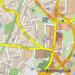
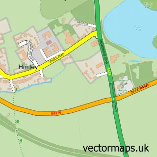
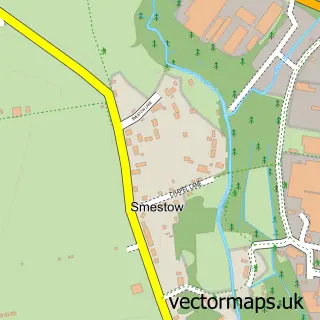
This Kingswinford street map is a detailed vector street map covering a 750m x 750m area. Select a larger area to create and download your own vector street map of Kingswinford.
The 750-metre map sample for Kingswinford covers 480 mapped buildings and approximately 51.7 km of road detail, of which 38 named roads are named. The immediate area includes 1 school, 2 GP surgeries, with 6 within 2 miles, 12 pubs and 1 MOT station, with 23 within 2 miles. The wider area around Kingswinford features 18 food and drink venues. To create a larger or custom map of Kingswinford, the map builder lets you define your own coverage area and download editable SVG, PDF and PNG files.
Create a larger editable map of Kingswinford
Choose any area you need and generate a high-quality vector map instantly. Perfect for print, planning, design, business and personal use.

This Kingswinford street map in West Midlands is available as downloadable SVG, PDF and PNG map files, or as a printed map for planning, business, display, education, local information and design work. You can also create a larger custom map area using the map selector.
What this Kingswinford map sample shows
Kingswinford lies within Dudley District (B) parish, part of Kingswinford South ward in the Dudley District (B) local authority area. The postcode geography for this area includes the DY postcode area, the DY6 postcode district and the DY6 9 postcode sector. Residents fall under the Nhs Black Country Integrated Care Board for NHS services.
Local features near Kingswinford
Within 2 milesAmenities and services in and around Kingswinford.
Administrative and postcode information for Kingswinford
Kingswinford lies within Dudley District (B) parish, part of Kingswinford South ward in the Dudley District (B) local authority area. The postcode geography for this area includes the DY postcode area, the DY6 postcode district and the DY6 9 postcode sector. Residents fall under the Nhs Black Country Integrated Care Board for NHS services.
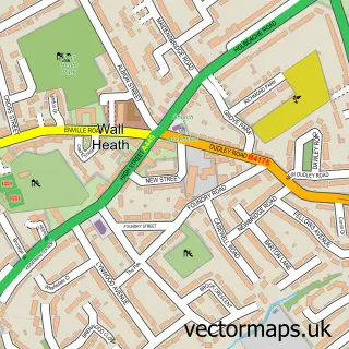
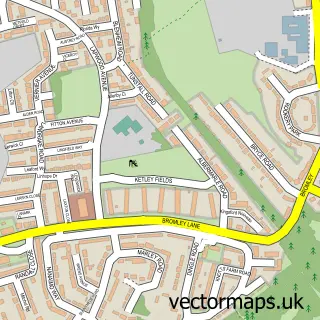
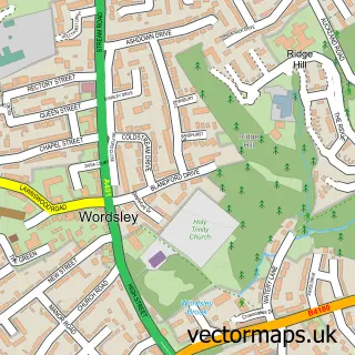
Nearby street map samples around Kingswinford

More street maps in West Midlands
750 metre map area coverage
Boundary, postcode and point of interest information for the 750m x 750m rectangle centred on this sample map.
Boundaries containing map centre
Constituency: Kingswinford and South Staffordshire Co Const
District: Dudley District (B)
Icb: NHS Black Country ICB
Police Force: west midlands
Postcode District: DY6
Postcode Sector: DY6 8
Ward: Kingswinford North & Wall Heath Ward
Nearby boundaries intersecting sample
Postcode Sector: DY6 7, DY6 9
Ward: Kingswinford South Ward
Postcode coverage
POI category counts
Beauty Salon: 16
Pub: 13
Retail: 8
Bank Credit Union: 7
Professional Services: 7
Flowers And Gifts Shop: 6
Hair Salon: 6
Building Supply Store: 5
Gift Shop: 5
Barber: 4
Sample points of interest
- Dalton Pardoe Chartered Accountants - Kingswinford
- French Ludlam & Co Limited
- TaxAssist Accountants
- The Physiotherapy Clinic
- Charles Advertising
- Crown Creative
- Happy Garden
- Capital Appliance Centre
- Alpha Design Ltd
- Cashpoint® 70 High Street
- PayPoint
- PrimeDetail
Create a larger editable map of Kingswinford
This sample shows only a 750 metre area. To create a larger map of Kingswinford, use our map builder to choose your own coverage area, add titles and download editable SVG, PDF and PNG files.
Create a custom map of Kingswinford