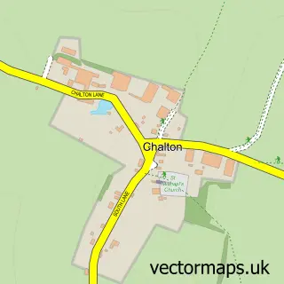
This South Harting street map is a detailed vector street map covering a 750m x 750m area. Select a larger area to create and download your own vector street map of South Harting.
The 750-metre map sample for South Harting covers 201 mapped buildings and approximately 11.8 km of road detail, of which 11 named roads are named. The immediate area includes 1 school and 3 pubs. The wider area around South Harting features 4 food and drink venues and 3 hotels. To create a larger or custom map of South Harting, the map builder lets you define your own coverage area and download editable SVG, PDF and PNG files.
Create a larger editable map of South Harting
Choose any area you need and generate a high-quality vector map instantly. Perfect for print, planning, design, business and personal use.

This South Harting street map in West Sussex is available as downloadable SVG, PDF and PNG map files, or as a printed map for planning, business, display, education, local information and design work. You can also create a larger custom map area using the map selector.
What this South Harting map sample shows
South Harting lies within Harting Cp parish, part of Harting ward in the Chichester District local authority area. The postcode geography for this area includes the GU postcode area, the GU31 postcode district and the GU31 5 postcode sector. Residents fall under the Nhs Sussex Integrated Care Board for NHS services.
Local features near South Harting
Within 2 milesAmenities and services in and around South Harting.
Administrative and postcode information for South Harting
South Harting lies within Harting Cp parish, part of Harting ward in the Chichester District local authority area. The postcode geography for this area includes the GU postcode area, the GU31 postcode district and the GU31 5 postcode sector. Residents fall under the Nhs Sussex Integrated Care Board for NHS services.
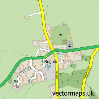
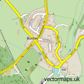
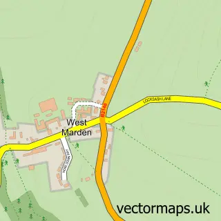
Nearby street map samples around South Harting

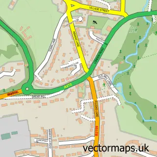
More street maps in West Sussex
750 metre map area coverage
Boundary, postcode and point of interest information for the 750m x 750m rectangle centred on this sample map.
Boundaries containing map centre
Constituency: Arundel and South Downs Co Const
County: West Sussex County
District: Chichester District
Icb: NHS Surrey and Sussex ICB
Parish: Harting CP
Police Force: sussex
Postcode District: GU31
Postcode Sector: GU31 5
Ward: Harting Ward
Nearby boundaries intersecting sample
No additional intersecting boundaries found.
Postcode coverage
POI category counts
Professional Services: 4
Hotel: 3
Pub: 3
Education: 2
Active Life: 1
Anglican Church: 1
Beauty Salon: 1
Boat Service And Repair: 1
Cafe: 1
Church Cathedral: 1
Sample points of interest
- Hill Ash Farm Stables
- St Mary & St Gabriel
- Glam hair and beauty
- S Hulme and Sons
- La Follia
- st mary & st gabriel church
- Post Office Travel Money
- Seven Summits Performance
- St Mary & St Paul First School
- AS Electrics
- Simply Hog Roast
- Ashton Bespoke
Create a larger editable map of South Harting
This sample shows only a 750 metre area. To create a larger map of South Harting, use our map builder to choose your own coverage area, add titles and download editable SVG, PDF and PNG files.
Create a custom map of South Harting