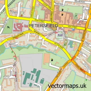
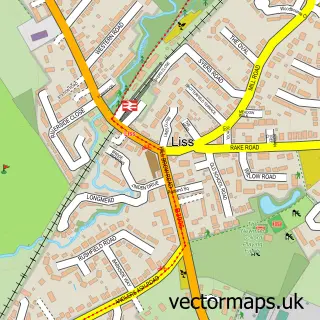
This Sheet street map is a detailed vector street map covering a 750m x 750m area. Select a larger area to create and download your own vector street map of Sheet.
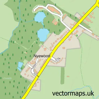
The 750-metre map sample for Sheet covers 250 mapped buildings and approximately 12.2 km of road detail, of which 20 named roads are named. The immediate area includes 2 GP surgeries within 2 miles, 2 pubs and 5 MOT stations within 2 miles. The wider area around Sheet features 2 food and drink venues, 1 hotel and 1 campsite within 2 miles. To create a larger or custom map of Sheet, the map builder lets you define your own coverage area and download editable SVG, PDF and PNG files.
Create a larger editable map of Sheet
Choose any area you need and generate a high-quality vector map instantly. Perfect for print, planning, design, business and personal use.

This Sheet street map in Hampshire is available as downloadable SVG, PDF and PNG map files, or as a printed map for planning, business, display, education, local information and design work. You can also create a larger custom map area using the map selector.
What this Sheet map sample shows
Sheet lies within Sheet Cp parish, part of Froxfield, Sheet & Steep ward in the East Hampshire District local authority area. The postcode geography for this area includes the GU postcode area, the GU31 postcode district and the GU31 4 postcode sector. Residents fall under the Nhs Hampshire And Isle Of Wight Integrated Care Board for NHS services.
Local features near Sheet
Within 2 milesAmenities and services in and around Sheet.
Administrative and postcode information for Sheet
The local authority covering Sheet is East Hampshire District, within the county of Hampshire. The settlement lies within Froxfield, Sheet & Steep ward and Sheet Cp civil parish. The GU31 postcode district and GU31 4 postcode sector serve the immediate area. NHS provision in the area is delivered through Portsmouth Hospitals University National Health Service Trust.
Nearby street map samples around Sheet

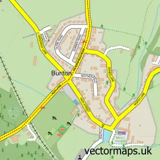
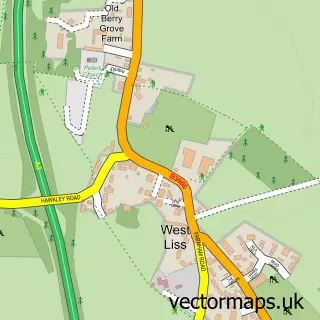
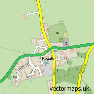
More street maps in Hampshire
750 metre map area coverage
Boundary, postcode and point of interest information for the 750m x 750m rectangle centred on this sample map.
Boundaries containing map centre
Constituency: East Hampshire Co Const
County: Hampshire County
District: East Hampshire District
Icb: NHS Hampshire and Isle of Wight ICB
Parish: Sheet CP
Police Force: hampshire
Postcode District: GU31
Postcode Sector: GU31 4
Ward: Froxfield, Sheet & Steep Ward
Nearby boundaries intersecting sample
Parish: Petersfield CP, Steep CP
Postcode District: GU32
Postcode Sector: GU31 5, GU32 2
Ward: Petersfield Heath Ward, Petersfield St. Peter's Ward
Postcode coverage
POI category counts
Pub: 2
Scout Hall: 2
Advertising Agency: 1
Automotive Dealer: 1
Automotive Repair: 1
Beauty And Spa: 1
Business Consulting: 1
Car Dealer: 1
Community Center: 1
Community Services Non Profits: 1
Sample points of interest
- Copyrite Business Solutions
- Lanzante Mc Laren Petersfield
- White Rose Nissan
- Ballare Academy Of Dance
- Auditel
- Petersfield Truck & Van
- Sheet Village Hall
- The Winton Players Hut
- Stepping Stones
- Louis Rose Interiors
- The Little School Day Nursery
- South Downs Bed & Breakfast, Petersfield, Hampshire, UK
Create a larger editable map of Sheet
This sample shows only a 750 metre area. To create a larger map of Sheet, use our map builder to choose your own coverage area, add titles and download editable SVG, PDF and PNG files.
Create a custom map of Sheet