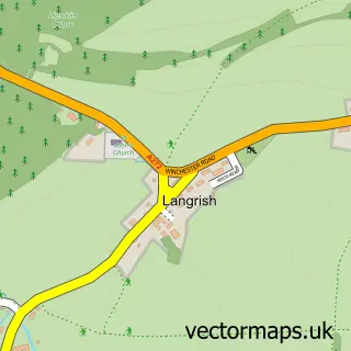
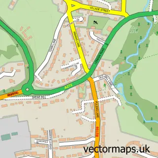
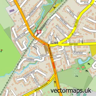
This Stroud street map is a detailed vector street map covering a 750m x 750m area. Select a larger area to create and download your own vector street map of Stroud.
The 750-metre map sample for Stroud covers 123 mapped buildings and approximately 11.7 km of road detail, of which 7 named roads are named. The immediate area includes 1 school, 2 GP surgeries within 2 miles, 1 pub and 1 MOT station, with 5 within 2 miles. The wider area around Stroud features 2 food and drink venues. To create a larger or custom map of Stroud, the map builder lets you define your own coverage area and download editable SVG, PDF and PNG files.
Create a larger editable map of Stroud
Choose any area you need and generate a high-quality vector map instantly. Perfect for print, planning, design, business and personal use.

This Stroud street map in Hampshire is available as downloadable SVG, PDF and PNG map files, or as a printed map for planning, business, display, education, local information and design work. You can also create a larger custom map area using the map selector.
What this Stroud map sample shows
Stroud lies within Stroud Cp parish, part of Buriton & East Meon ward in the East Hampshire District local authority area. The postcode geography for this area includes the GU postcode area, the GU32 postcode district and the GU32 3 postcode sector. Residents fall under the Nhs Hampshire And Isle Of Wight Integrated Care Board for NHS services.
Local features near Stroud
Within 2 milesAmenities and services in and around Stroud.
Administrative and postcode information for Stroud
Stroud lies within Stroud Cp parish, part of Buriton & East Meon ward in the East Hampshire District local authority area. The postcode geography for this area includes the GU postcode area, the GU32 postcode district and the GU32 3 postcode sector. Residents fall under the Nhs Hampshire And Isle Of Wight Integrated Care Board for NHS services.
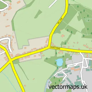
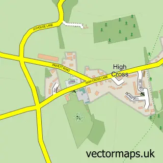
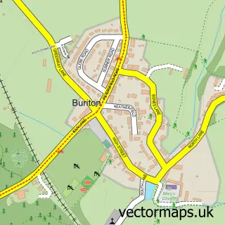
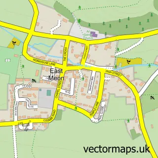
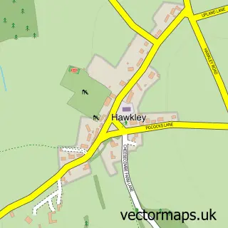
Nearby street map samples around Stroud

More street maps in Hampshire
750 metre map area coverage
Boundary, postcode and point of interest information for the 750m x 750m rectangle centred on this sample map.
Boundaries containing map centre
Constituency: East Hampshire Co Const
County: Hampshire County
District: East Hampshire District
Icb: NHS Hampshire and Isle of Wight ICB
Parish: Stroud CP
Police Force: hampshire
Postcode District: GU32
Postcode Sector: GU32 3
Ward: Buriton & East Meon Ward
Nearby boundaries intersecting sample
Parish: Langrish CP, Steep CP
Postcode Sector: GU32 1
Ward: Froxfield, Sheet & Steep Ward
Postcode coverage
POI category counts
Automotive Repair: 4
Retirement Home: 2
Advertising Agency: 1
Assisted Living Facility: 1
Auto Body Shop: 1
Coffee Shop: 1
Community Services Non Profits: 1
Elementary School: 1
Engineering Services: 1
Environmental Conservation Organization: 1
Sample points of interest
- City Explorer
- Stroud House
- M & L Body Refinishers
- Midhurst Engineering & Motor Co
- Petersfield Auto Electrical
- Petersfield Service Centre
- TDVworks
- Four Fillies
- Stroud Village Hall and Residents Association
- Langrish Primary School
- Environmental Project Consulting Group
- The Environmental Project Consulting Group
Create a larger editable map of Stroud
This sample shows only a 750 metre area. To create a larger map of Stroud, use our map builder to choose your own coverage area, add titles and download editable SVG, PDF and PNG files.
Create a custom map of Stroud