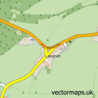
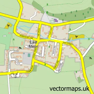
This Buriton street map is a detailed vector street map covering a 750m x 750m area. Select a larger area to create and download your own vector street map of Buriton.
The 750-metre map sample for Buriton covers 192 mapped buildings and approximately 11.6 km of road detail, of which 10 named roads are named. The immediate area includes 1 school, 2 GP surgeries within 2 miles, 1 pub and 2 MOT stations within 2 miles. The wider area around Buriton features 1 food and drink venue, 2 hotels and 1 campsite within 2 miles. To create a larger or custom map of Buriton, the map builder lets you define your own coverage area and download editable SVG, PDF and PNG files.
Create a larger editable map of Buriton
Choose any area you need and generate a high-quality vector map instantly. Perfect for print, planning, design, business and personal use.

This Buriton street map in Hampshire is available as downloadable SVG, PDF and PNG map files, or as a printed map for planning, business, display, education, local information and design work. You can also create a larger custom map area using the map selector.
What this Buriton map sample shows
Buriton lies within Buriton Cp parish, part of Buriton & East Meon ward in the East Hampshire District local authority area. The postcode geography for this area includes the GU postcode area, the GU31 postcode district and the GU31 5 postcode sector. Residents fall under the Nhs Hampshire And Isle Of Wight Integrated Care Board for NHS services.
Local features near Buriton
Within 2 milesAmenities and services in and around Buriton.
Administrative and postcode information for Buriton
Buriton lies within Buriton Cp parish, part of Buriton & East Meon ward in the East Hampshire District local authority area. The postcode geography for this area includes the GU postcode area, the GU31 postcode district and the GU31 5 postcode sector. Residents fall under the Nhs Hampshire And Isle Of Wight Integrated Care Board for NHS services.
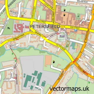
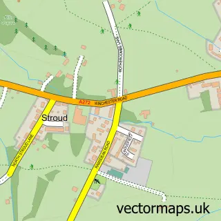
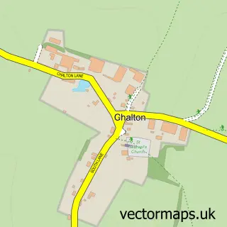
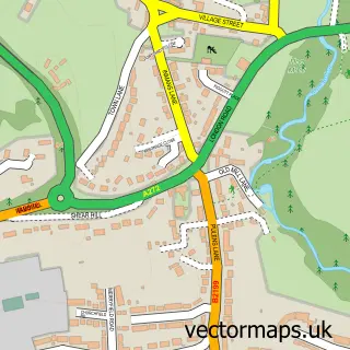
Nearby street map samples around Buriton

More street maps in Hampshire
750 metre map area coverage
Boundary, postcode and point of interest information for the 750m x 750m rectangle centred on this sample map.
Boundaries containing map centre
Constituency: East Hampshire Co Const
County: Hampshire County
District: East Hampshire District
Icb: NHS Hampshire and Isle of Wight ICB
Parish: Buriton CP
Police Force: hampshire
Postcode District: GU31
Postcode Sector: GU31 5
Ward: Buriton & East Meon Ward
Nearby boundaries intersecting sample
No additional intersecting boundaries found.
Postcode coverage
POI category counts
Hotel: 2
Post Office: 2
Anglican Church: 1
Antique Store: 1
Bar: 1
Building Supply Store: 1
Community Center: 1
Dog Trainer: 1
Electrician: 1
Elementary School: 1
Sample points of interest
- St Mary the Virgin
- Vintage Antique & Militaria Fairs
- FiveBells Buriton Buriton
- Fuller Landscapes
- Buriton Climate Care Group
- Meon Valley Dog Training
- A W Electrical Services
- Buriton Primary School
- DMA Tree Services
- The Nest Hotel & Restaurant
- The Village Inn
- The Master Robert Inn
Create a larger editable map of Buriton
This sample shows only a 750 metre area. To create a larger map of Buriton, use our map builder to choose your own coverage area, add titles and download editable SVG, PDF and PNG files.
Create a custom map of Buriton