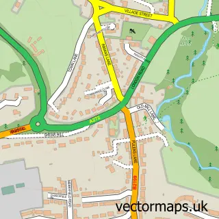
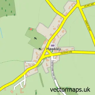
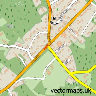
This Steep street map is a detailed vector street map covering a 750m x 750m area. Select a larger area to create and download your own vector street map of Steep.
The 750-metre map sample for Steep covers 112 mapped buildings and approximately 7.8 km of road detail, of which 3 named roads are named. The immediate area includes 1 school, 2 GP surgeries within 2 miles, 1 pub and 6 MOT stations within 2 miles. The wider area around Steep features 1 food and drink venue. To create a larger or custom map of Steep, the map builder lets you define your own coverage area and download editable SVG, PDF and PNG files.
Create a larger editable map of Steep
Choose any area you need and generate a high-quality vector map instantly. Perfect for print, planning, design, business and personal use.

This Steep street map in Hampshire is available as downloadable SVG, PDF and PNG map files, or as a printed map for planning, business, display, education, local information and design work. You can also create a larger custom map area using the map selector.
What this Steep map sample shows
Steep lies within Steep Cp parish, part of Froxfield, Sheet & Steep ward in the East Hampshire District local authority area. The postcode geography for this area includes the GU postcode area, the GU32 postcode district and the GU32 2 postcode sector. Residents fall under the Nhs Hampshire And Isle Of Wight Integrated Care Board for NHS services.
Local features near Steep
Within 2 milesAmenities and services in and around Steep.
Administrative and postcode information for Steep
Steep lies within Steep Cp parish, part of Froxfield, Sheet & Steep ward in the East Hampshire District local authority area. The postcode geography for this area includes the GU postcode area, the GU32 postcode district and the GU32 2 postcode sector. Residents fall under the Nhs Hampshire And Isle Of Wight Integrated Care Board for NHS services.
Nearby street map samples around Steep

More street maps in Hampshire
750 metre map area coverage
Boundary, postcode and point of interest information for the 750m x 750m rectangle centred on this sample map.
Boundaries containing map centre
Constituency: East Hampshire Co Const
County: Hampshire County
District: East Hampshire District
Icb: NHS Hampshire and Isle of Wight ICB
Parish: Steep CP
Police Force: hampshire
Postcode District: GU32
Postcode Sector: GU32 2
Ward: Froxfield, Sheet & Steep Ward
Nearby boundaries intersecting sample
Postcode Sector: GU32 1
Postcode coverage
POI category counts
Arts And Entertainment: 2
Private School: 2
Sports Club And League: 2
Bicycle Shop: 1
Building Supply Store: 1
Car Rental Agency: 1
Contractor: 1
Pub: 1
Public And Government Association: 1
Theatre: 1
Sample points of interest
- Steep
- Steep Village Hall
- Owens Cycles
- Steep Oil Tanks
- Cooper Executive Cars
- Evoke Kitchens & Bathrooms
- Bedales Prep, Dunhurst
- Bedales School
- The Cricketers Inn
- Steep Parish Council, Hampshire
- Nomads Badminton Club
- Steep Cricket Club
Create a larger editable map of Steep
This sample shows only a 750 metre area. To create a larger map of Steep, use our map builder to choose your own coverage area, add titles and download editable SVG, PDF and PNG files.
Create a custom map of Steep