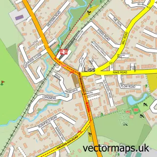
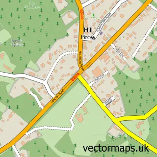
This West Liss street map is a detailed vector street map covering a 750m x 750m area. Select a larger area to create and download your own vector street map of West Liss.
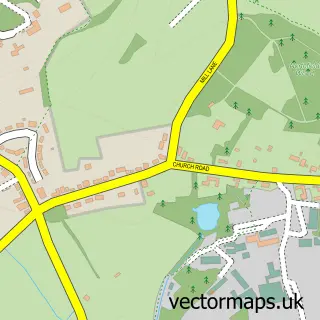
The 750-metre map sample for West Liss covers 131 mapped buildings and approximately 10.0 km of road detail, of which 9 named roads are named. The immediate area includes 1 pub and 3 MOT stations within 2 miles. The wider area around West Liss features 2 food and drink venues. To create a larger or custom map of West Liss, the map builder lets you define your own coverage area and download editable SVG, PDF and PNG files.
Create a larger editable map of West Liss
Choose any area you need and generate a high-quality vector map instantly. Perfect for print, planning, design, business and personal use.

This West Liss street map in Hampshire is available as downloadable SVG, PDF and PNG map files, or as a printed map for planning, business, display, education, local information and design work. You can also create a larger custom map area using the map selector.
What this West Liss map sample shows
West Liss lies within Liss Cp parish, part of Liss ward in the East Hampshire District local authority area. The postcode geography for this area includes the GU postcode area, the GU33 postcode district and the GU33 7 postcode sector. Residents fall under the Nhs Hampshire And Isle Of Wight Integrated Care Board for NHS services.
Local features near West Liss
Within 2 milesAmenities and services in and around West Liss.
Administrative and postcode information for West Liss
The local authority covering West Liss is East Hampshire District, within the county of Hampshire. The settlement lies within Liss ward and Liss Cp civil parish. The GU33 postcode district and GU33 7 postcode sector serve the immediate area. NHS provision in the area is delivered through Portsmouth Hospitals University National Health Service Trust.
Nearby street map samples around West Liss
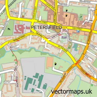

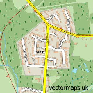
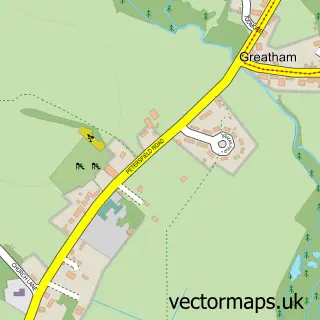
More street maps in Hampshire
750 metre map area coverage
Boundary, postcode and point of interest information for the 750m x 750m rectangle centred on this sample map.
Boundaries containing map centre
Constituency: East Hampshire Co Const
County: Hampshire County
District: East Hampshire District
Icb: NHS Hampshire and Isle of Wight ICB
Parish: Liss CP
Police Force: hampshire
Postcode District: GU33
Postcode Sector: GU33 6
Ward: Liss Ward
Nearby boundaries intersecting sample
Postcode Sector: GU33 7
Postcode coverage
POI category counts
Software Development: 3
Accountant: 2
Advertising Agency: 2
Building Supply Store: 2
Professional Services: 2
Alternative Medicine: 1
Architectural Designer: 1
Auction House: 1
Brake Service And Repair: 1
Bridal Shop: 1
Sample points of interest
- Abacus
- TaxAssist Accountants
- Grow Online Marketing
- Grow Online Marketing
- Clouds Trust
- Hampshire Design Consultancy Ltd.
- Jacobs and Hunt Fine Art Auctioneers
- Liss Garage Services
- Someflower
- Conservatory Roof Consultants Ltd
- Liss Electrical Services
- Jaysh Care Services
Create a larger editable map of West Liss
This sample shows only a 750 metre area. To create a larger map of West Liss, use our map builder to choose your own coverage area, add titles and download editable SVG, PDF and PNG files.
Create a custom map of West Liss