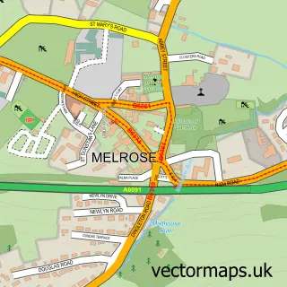
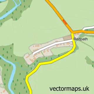
This St Boswells street map is a detailed vector street map covering a 750m x 750m area. Select a larger area to create and download your own vector street map of St Boswells.
The 750-metre map sample for St Boswells covers 413 mapped buildings and approximately 15.5 km of road detail, of which 29 named roads are named. The immediate area includes 1 GP surgery within 2 miles and 5 MOT stations within 2 miles. The wider area around St Boswells features 2 hotels. To create a larger or custom map of St Boswells, the map builder lets you define your own coverage area and download editable SVG, PDF and PNG files.
Create a larger editable map of St Boswells
Choose any area you need and generate a high-quality vector map instantly. Perfect for print, planning, design, business and personal use.

This St Boswells street map in Roxburgh, Ettrick and Lauderdale is available as downloadable SVG, PDF and PNG map files, or as a printed map for planning, business, display, education, local information and design work. You can also create a larger custom map area using the map selector.
What this St Boswells map sample shows
St Boswells lies within Scottish Borders parish, part of Jedburgh And District ward in the Scottish Borders local authority area. The postcode geography for this area includes the TD postcode area, the TD6 postcode district and the TD6 0 postcode sector. Residents fall under the Borders for NHS services.
Local features near St Boswells
Within 2 milesAmenities and services in and around St Boswells.
Administrative and postcode information for St Boswells
The local authority covering St Boswells is Scottish Borders, within the county of Roxburgh, Ettrick And Lauderdale. The settlement lies within Jedburgh And District ward and Scottish Borders civil parish. The TD6 postcode district and TD6 0 postcode sector serve the immediate area. NHS provision in the area is delivered through Borders.
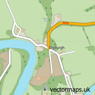
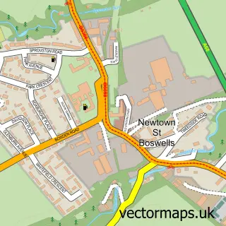
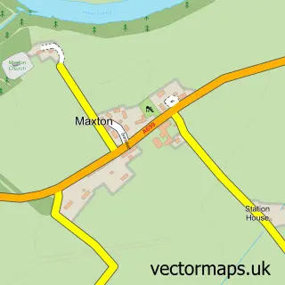
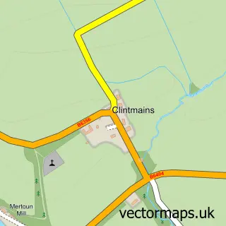
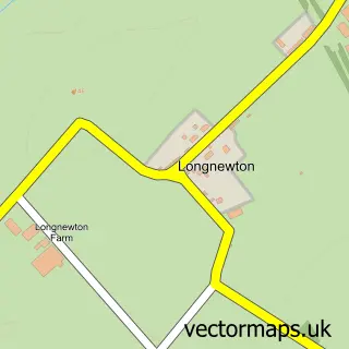
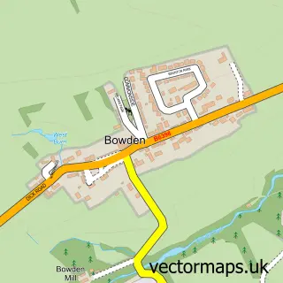
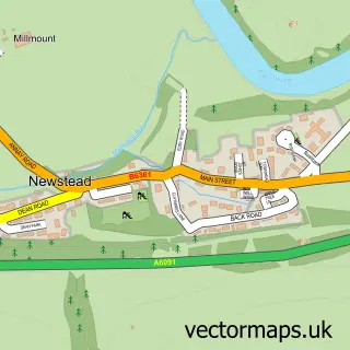
Nearby street map samples around St Boswells

More street maps in Roxburgh, Ettrick and Lauderdale
750 metre map area coverage
Boundary, postcode and point of interest information for the 750m x 750m rectangle centred on this sample map.
Boundaries containing map centre
Constituency: Berwickshire, Roxburgh and Selkirk Co Const
District: Scottish Borders
Icb: Borders
Postcode District: TD6
Postcode Sector: TD6 0
Ward: Jedburgh and District Ward
Nearby boundaries intersecting sample
No additional intersecting boundaries found.
Postcode coverage
POI category counts
Veterinarian: 3
Butcher Shop: 2
Convenience Store: 2
Fish And Chips Restaurant: 2
Hotel: 2
Post Office: 2
Sports Club And League: 2
Alternative Medicine: 1
Beauty And Spa: 1
Bookstore: 1
Sample points of interest
- Angela Secretan Aromatherapist
- Lowland Soap Compnay
- The Mainstreet Trading Company
- J M Quality Meats
- JC Douglas Butchers
- W J Neil
- St Boswells Parish Church
- Scotia Chiropractic Ltd
- St Boswells Village Hall
- Scottish Borders Social Enterprise Chamber
- McColl's
- Morrisons Daily
Create a larger editable map of St Boswells
This sample shows only a 750 metre area. To create a larger map of St Boswells, use our map builder to choose your own coverage area, add titles and download editable SVG, PDF and PNG files.
Create a custom map of St Boswells