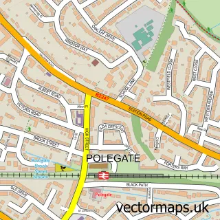
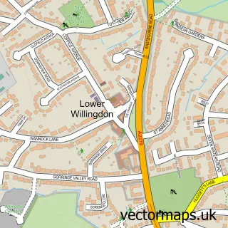
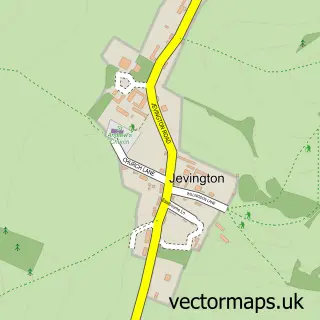
This Stone Cross street map is a detailed vector street map covering a 750m x 750m area. Select a larger area to create and download your own vector street map of Stone Cross.
The 750-metre map sample for Stone Cross covers 448 mapped buildings and approximately 21.8 km of road detail, of which 47 named roads are named. The immediate area includes 1 school, 1 GP surgery, with 3 within 2 miles, 1 pub and 20 MOT stations within 2 miles. The wider area around Stone Cross features 2 tourism points of interest, 5 food and drink venues and 2 campsites within 2 miles. To create a larger or custom map of Stone Cross, the map builder lets you define your own coverage area and download editable SVG, PDF and PNG files.
Create a larger editable map of Stone Cross
Choose any area you need and generate a high-quality vector map instantly. Perfect for print, planning, design, business and personal use.

This Stone Cross street map in East Sussex is available as downloadable SVG, PDF and PNG map files, or as a printed map for planning, business, display, education, local information and design work. You can also create a larger custom map area using the map selector.
What this Stone Cross map sample shows
Stone Cross lies within Westham Cp parish, part of Stone Cross ward in the Wealden District local authority area. The postcode geography for this area includes the BN postcode area, the BN24 postcode district and the BN24 5 postcode sector. Residents fall under the Nhs Sussex Integrated Care Board for NHS services.
Local features near Stone Cross
Within 2 milesAmenities and services in and around Stone Cross.
Administrative and postcode information for Stone Cross
The local authority covering Stone Cross is Wealden District, within the county of East Sussex. The settlement lies within Stone Cross ward and Westham Cp civil parish. The BN24 postcode district and BN24 5 postcode sector serve the immediate area. NHS provision in the area is delivered through East Sussex Healthcare Nhs Trust.
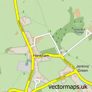
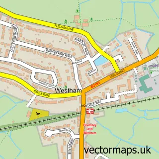
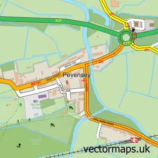
Nearby street map samples around Stone Cross

More street maps in East Sussex
750 metre map area coverage
Boundary, postcode and point of interest information for the 750m x 750m rectangle centred on this sample map.
Boundaries containing map centre
Constituency: Lewes Co Const
County: East Sussex County
District: Wealden District
Icb: NHS Surrey and Sussex ICB
Parish: Westham CP
Police Force: sussex
Postcode District: BN24
Postcode Sector: BN24 5
Ward: Stone Cross Ward
Nearby boundaries intersecting sample
Constituency: Eastbourne Boro Const
District: Eastbourne District (B)
Postcode District: BN23
Postcode Sector: BN23 8
Ward: Langney Ward, Polegate Central Ward
Postcode coverage
POI category counts
Automotive Repair: 2
Beauty Salon: 2
Cafe: 2
Church Cathedral: 2
Coffee Shop: 2
Electrician: 2
Plumbing: 2
Accountant: 1
Brewery: 1
Building Contractor: 1
Sample points of interest
- Clean Accounts Ltd
- Sussex Dent Repairs
- TD Auto Repairs
- Kaiya Rose Beauty
- Koutoubia Skin & Body
- Red Lion Pub
- Britestyle
- Helen Philo Veterinary Physiotherapy
- Crafted Coffee Lounge
- Stone Cross Windmill
- Stone Cross Car Wash
- Canine Concern CIO
Create a larger editable map of Stone Cross
This sample shows only a 750 metre area. To create a larger map of Stone Cross, use our map builder to choose your own coverage area, add titles and download editable SVG, PDF and PNG files.
Create a custom map of Stone Cross