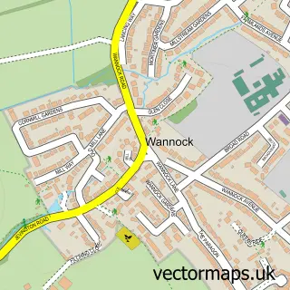
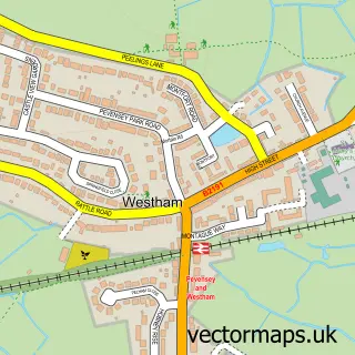
This Polegate street map is a detailed vector street map covering a 750m x 750m area. Select a larger area to create and download your own vector street map of Polegate.
The 750-metre map sample for Polegate covers 565 mapped buildings and approximately 19.8 km of road detail, of which 42 named roads are named. The immediate area includes 1 school, 1 railway station, 1 GP surgery, with 3 within 2 miles and 1 pub among other local services. The wider area around Polegate features 1 tourism point of interest, 6 food and drink venues and 2 campsites within 2 miles. To create a larger or custom map of Polegate, the map builder lets you define your own coverage area and download editable SVG, PDF and PNG files.
Create a larger editable map of Polegate
Choose any area you need and generate a high-quality vector map instantly. Perfect for print, planning, design, business and personal use.

This Polegate street map in East Sussex is available as downloadable SVG, PDF and PNG map files, or as a printed map for planning, business, display, education, local information and design work. You can also create a larger custom map area using the map selector.
What this Polegate map sample shows
Polegate lies within Polegate Cp parish, part of Polegate North ward in the Wealden District local authority area. The postcode geography for this area includes the BN postcode area, the BN26 postcode district and the BN26 6 postcode sector. Residents fall under the Nhs Sussex Integrated Care Board for NHS services.
Local features near Polegate
Within 2 milesAmenities and services in and around Polegate.
Administrative and postcode information for Polegate
Polegate lies within Polegate Cp parish, part of Polegate North ward in the Wealden District local authority area. The postcode geography for this area includes the BN postcode area, the BN26 postcode district and the BN26 6 postcode sector. Residents fall under the Nhs Sussex Integrated Care Board for NHS services.
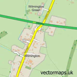
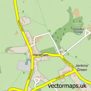
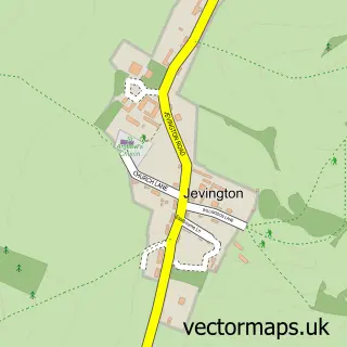
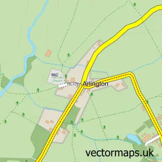
Nearby street map samples around Polegate

More street maps in East Sussex
750 metre map area coverage
Boundary, postcode and point of interest information for the 750m x 750m rectangle centred on this sample map.
Boundaries containing map centre
Constituency: Lewes Co Const
County: East Sussex County
District: Wealden District
Icb: NHS Surrey and Sussex ICB
Parish: Polegate CP
Police Force: sussex
Postcode District: BN26
Postcode Sector: BN26 6
Ward: Polegate North Ward
Nearby boundaries intersecting sample
Postcode Sector: BN26 5
Ward: Polegate South & Willingdon Watermill Ward
Postcode coverage
POI category counts
Charity Organization: 7
Hair Salon: 6
Professional Services: 6
Beauty Salon: 5
Bar: 4
Convenience Store: 4
Health And Medical: 4
Real Estate Agent: 4
Retirement Home: 4
Banks: 3
Sample points of interest
- Heather Accounts Direct
- M I Spencer Ltd.
- Purplefruit
- Windsor Therapy Room
- B & E Antique Jewellery
- B&E Antique Jewellery
- Humber Architecture
- In Perspective Hobby Shop
- Polgate Nursing Centre
- Astrology by Louise Of Arabia
- Asda (C) Polegate - Polegate Road PFS
- The Cooperative Food (BF) Polegate, High St
Create a larger editable map of Polegate
This sample shows only a 750 metre area. To create a larger map of Polegate, use our map builder to choose your own coverage area, add titles and download editable SVG, PDF and PNG files.
Create a custom map of Polegate