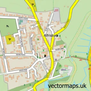
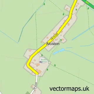
This Wilmington street map is a detailed vector street map covering a 750m x 750m area. Select a larger area to create and download your own vector street map of Wilmington.
The 750-metre map sample for Wilmington covers 105 mapped buildings and approximately 5.5 km of road detail, of which 4 named roads are named. The immediate area includes 2 pubs and 1 MOT station within 2 miles. The wider area around Wilmington features 1 tourism point of interest, 2 food and drink venues and 2 hotels. To create a larger or custom map of Wilmington, the map builder lets you define your own coverage area and download editable SVG, PDF and PNG files.
Create a larger editable map of Wilmington
Choose any area you need and generate a high-quality vector map instantly. Perfect for print, planning, design, business and personal use.

This Wilmington street map in East Sussex is available as downloadable SVG, PDF and PNG map files, or as a printed map for planning, business, display, education, local information and design work. You can also create a larger custom map area using the map selector.
What this Wilmington map sample shows
Wilmington lies within Long Man Cp parish, part of South Downs ward in the Wealden District local authority area. The postcode geography for this area includes the BN postcode area, the BN26 postcode district and the BN26 5 postcode sector. Residents fall under the Nhs Sussex Integrated Care Board for NHS services.
Local features near Wilmington
Within 2 milesAmenities and services in and around Wilmington.
Administrative and postcode information for Wilmington
The local authority covering Wilmington is Wealden District, within the county of East Sussex. The settlement lies within South Downs ward and Long Man Cp civil parish. The BN26 postcode district and BN26 5 postcode sector serve the immediate area. NHS provision in the area is delivered through East Sussex Healthcare Nhs Trust.
Nearby street map samples around Wilmington

More street maps in East Sussex
750 metre map area coverage
Boundary, postcode and point of interest information for the 750m x 750m rectangle centred on this sample map.
Boundaries containing map centre
Constituency: Lewes Co Const
County: East Sussex County
District: Wealden District
Icb: NHS Surrey and Sussex ICB
Parish: Long Man CP
Police Force: sussex
Postcode District: BN26
Postcode Sector: BN26 5
Ward: South Downs Ward
Nearby boundaries intersecting sample
No additional intersecting boundaries found.
Postcode coverage
POI category counts
Hotel: 2
Pub: 2
Community Center: 1
Gardener: 1
Health And Medical: 1
Horse Boarding: 1
Landmark And Historical Building: 1
Tea Room: 1
Sample points of interest
- Wilmington Village Hall - Sussex
- Mjc Tree&Garden services
- Tea Pot Babies
- Sussex Retirement Centre
- Crossways Hotel
- Wishing Well Self-Catering Cottage
- The Long Man of Wilmington
- Long Man Inn
- The Giants Rest
- The Wishing Well
Create a larger editable map of Wilmington
This sample shows only a 750 metre area. To create a larger map of Wilmington, use our map builder to choose your own coverage area, add titles and download editable SVG, PDF and PNG files.
Create a custom map of Wilmington