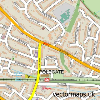
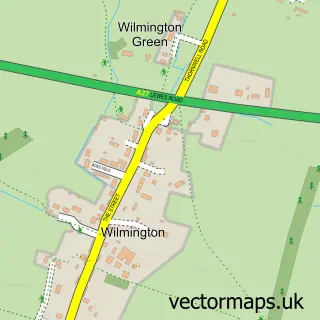
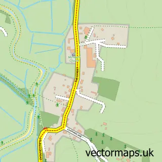
This Wannock street map is a detailed vector street map covering a 750m x 750m area. Select a larger area to create and download your own vector street map of Wannock.
The 750-metre map sample for Wannock covers 457 mapped buildings and approximately 14.1 km of road detail, of which 28 named roads are named. The immediate area includes 1 school, 2 GP surgeries within 2 miles and 5 MOT stations within 2 miles. The wider area around Wannock features 1 tourism point of interest. To create a larger or custom map of Wannock, the map builder lets you define your own coverage area and download editable SVG, PDF and PNG files.
Create a larger editable map of Wannock
Choose any area you need and generate a high-quality vector map instantly. Perfect for print, planning, design, business and personal use.

This Wannock street map in East Sussex is available as downloadable SVG, PDF and PNG map files, or as a printed map for planning, business, display, education, local information and design work. You can also create a larger custom map area using the map selector.
What this Wannock map sample shows
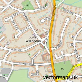
Wannock lies within Willingdon And Jevington Cp parish, part of Lower Willingdon ward in the Wealden District local authority area. The postcode geography for this area includes the BN postcode area, the BN26 postcode district and the BN26 5 postcode sector. Residents fall under the Nhs Sussex Integrated Care Board for NHS services.
Local features near Wannock
Within 2 milesAmenities and services in and around Wannock.
Administrative and postcode information for Wannock
Wannock lies within Willingdon And Jevington Cp parish, part of Lower Willingdon ward in the Wealden District local authority area. The postcode geography for this area includes the BN postcode area, the BN26 postcode district and the BN26 5 postcode sector. Residents fall under the Nhs Sussex Integrated Care Board for NHS services.
Nearby street map samples around Wannock

More street maps in East Sussex
750 metre map area coverage
Boundary, postcode and point of interest information for the 750m x 750m rectangle centred on this sample map.
Boundaries containing map centre
Constituency: Lewes Co Const
County: East Sussex County
District: Wealden District
Icb: NHS Surrey and Sussex ICB
Parish: Willingdon and Jevington CP
Police Force: sussex
Postcode District: BN26
Postcode Sector: BN26 5
Ward: Lower Willingdon Ward
Nearby boundaries intersecting sample
Parish: Polegate CP
Postcode District: BN20
Postcode Sector: BN20 9
Ward: Polegate South & Willingdon Watermill Ward
Postcode coverage
POI category counts
Church Cathedral: 2
Gym: 2
Professional Services: 2
Acupuncture: 1
Assisted Living Facility: 1
Bar: 1
Beauty And Spa: 1
Campground: 1
Caterer: 1
Childrens Clothing Store: 1
Sample points of interest
- Downland Acupuncture and Wellness
- Regard
- The Hive - Wannock
- Your salon at Wannock
- Bramley Park Camping
- 4 Catering Products
- Wedding Day Services
- St Wilfrid's Church
- St Wilfrids Church
- paws dog training
- Let us Figure it Out
- Polegate & Stone Cross Cricket Club
Create a larger editable map of Wannock
This sample shows only a 750 metre area. To create a larger map of Wannock, use our map builder to choose your own coverage area, add titles and download editable SVG, PDF and PNG files.
Create a custom map of Wannock