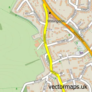
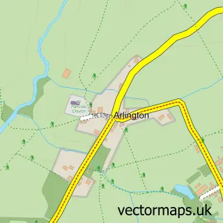
This Lower Willingdon street map is a detailed vector street map covering a 750m x 750m area. Select a larger area to create and download your own vector street map of Lower Willingdon.
The 750-metre map sample for Lower Willingdon covers 578 mapped buildings and approximately 17.3 km of road detail, of which 34 named roads are named. The immediate area includes 4 GP surgeries within 2 miles, 3 pubs and 1 MOT station, with 11 within 2 miles. The wider area around Lower Willingdon features 1 tourism point of interest and 4 food and drink venues. To create a larger or custom map of Lower Willingdon, the map builder lets you define your own coverage area and download editable SVG, PDF and PNG files.
Create a larger editable map of Lower Willingdon
Choose any area you need and generate a high-quality vector map instantly. Perfect for print, planning, design, business and personal use.

This Lower Willingdon street map in East Sussex is available as downloadable SVG, PDF and PNG map files, or as a printed map for planning, business, display, education, local information and design work. You can also create a larger custom map area using the map selector.
What this Lower Willingdon map sample shows
Lower Willingdon lies within Willingdon And Jevington Cp parish, part of Upper Willingdon ward in the Wealden District local authority area. The postcode geography for this area includes the BN postcode area, the BN20 postcode district and the BN20 9 postcode sector. Residents fall under the Nhs Sussex Integrated Care Board for NHS services.
Local features near Lower Willingdon
Within 2 milesAmenities and services in and around Lower Willingdon.
Administrative and postcode information for Lower Willingdon
The local authority covering Lower Willingdon is Wealden District, within the county of East Sussex. The settlement lies within Upper Willingdon ward and Willingdon And Jevington Cp civil parish. The BN20 postcode district and BN20 9 postcode sector serve the immediate area. NHS provision in the area is delivered through East Sussex Healthcare Nhs Trust.
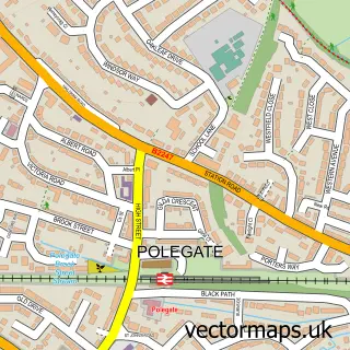
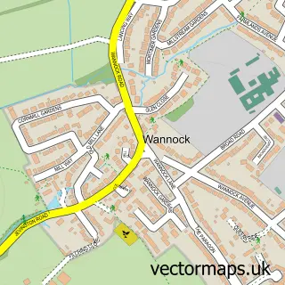
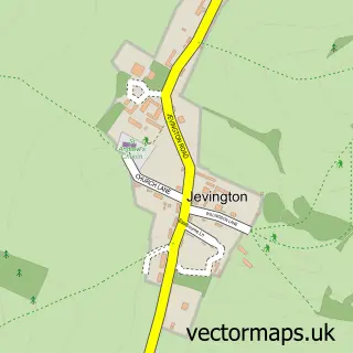
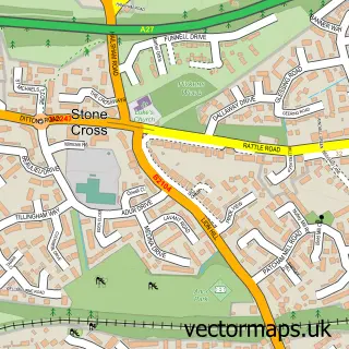
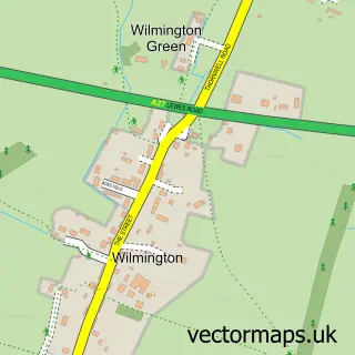
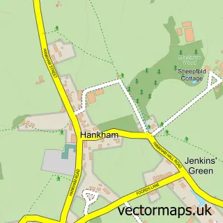
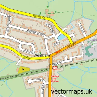
Nearby street map samples around Lower Willingdon

More street maps in East Sussex
750 metre map area coverage
Boundary, postcode and point of interest information for the 750m x 750m rectangle centred on this sample map.
Boundaries containing map centre
Constituency: Lewes Co Const
County: East Sussex County
District: Wealden District
Icb: NHS Surrey and Sussex ICB
Parish: Willingdon and Jevington CP
Police Force: sussex
Postcode District: BN20
Postcode Sector: BN20 9
Ward: Lower Willingdon Ward
Nearby boundaries intersecting sample
Constituency: Eastbourne Boro Const
District: Eastbourne District (B)
Postcode District: BN22
Postcode Sector: BN22 0
Ward: Ratton Ward, Upper Willingdon Ward
Postcode coverage
POI category counts
Building Supply Store: 3
Pub: 3
Automotive: 2
Charity Organization: 2
Driving School: 2
Hair Salon: 2
Professional Services: 2
Public Service And Government: 2
Shipping Center: 2
Veterinarian: 2
Sample points of interest
- Wilmoths Citroen Eastbourne
- Wilmoths Citroën Eastbourne
- Seven Sisters Garage
- The Barber's Shop - Willingdon
- The Seven Sisters
- Wyevale Grounds Maintenance
- CRH Carpentry
- L R Landscaping
- W & S Landscapes
- Cafe Willingdon
- Citroën
- Children With Cancer Fund
Create a larger editable map of Lower Willingdon
This sample shows only a 750 metre area. To create a larger map of Lower Willingdon, use our map builder to choose your own coverage area, add titles and download editable SVG, PDF and PNG files.
Create a custom map of Lower Willingdon