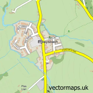
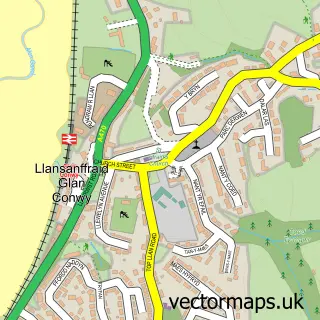
This Ty'n y Groes street map is a detailed vector street map covering a 750m x 750m area. Select a larger area to create and download your own vector street map of Ty'n y Groes.
The 750-metre map sample for Ty'n y Groes covers 138 mapped buildings and approximately 7.3 km of road detail, of which 3 named roads are named. The wider area around Ty'n y Groes features 1 tourism point of interest, 1 hotel and 2 campsites within 2 miles. To create a larger or custom map of Ty'n y Groes, the map builder lets you define your own coverage area and download editable SVG, PDF and PNG files.
Create a larger editable map of Ty'n y Groes
Choose any area you need and generate a high-quality vector map instantly. Perfect for print, planning, design, business and personal use.

This Ty'n y Groes street map in Clwyd is available as downloadable SVG, PDF and PNG map files, or as a printed map for planning, business, display, education, local information and design work. You can also create a larger custom map area using the map selector.
What this Ty'n y Groes map sample shows
Ty'n y Groes lies within Caerhun Community parish, part of Caerhun ward in the Conwy - Conwy local authority area. The postcode geography for this area includes the LL postcode area, the LL32 postcode district and the LL32 8 postcode sector. Residents fall under the Betsi Cadwaladr University Health Board for NHS services.
Local features near Ty'n y Groes
Within 2 milesAmenities and services in and around Ty'n y Groes.
Administrative and postcode information for Ty'n y Groes
The local authority covering Ty'n y Groes is Conwy - Conwy, within the county of Clwyd. The settlement lies within Caerhun ward and Caerhun Community civil parish. The LL32 postcode district and LL32 8 postcode sector serve the immediate area. NHS provision in the area is delivered through Betsi Cadwaladr University Health Board.
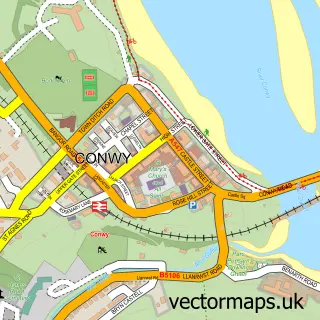
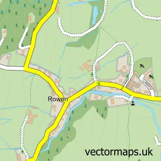
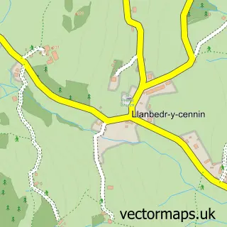
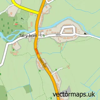
Nearby street map samples around Ty'n y Groes

More street maps in Clwyd
750 metre map area coverage
Boundary, postcode and point of interest information for the 750m x 750m rectangle centred on this sample map.
Boundaries containing map centre
Constituency: Bangor Aberconwy Co Const
District: Conwy - Conwy
Icb: Betsi Cadwaladr University
Parish: Caerhun Community
Police Force: north wales
Postcode District: LL32
Postcode Sector: LL32 8
Nearby boundaries intersecting sample
No additional intersecting boundaries found.
Postcode coverage
POI category counts
Bed And Breakfast: 1
Cleaning Services: 1
Hotel: 1
Landmark And Historical Building: 1
Pet Services: 1
Sample points of interest
- Y Llew Coch
- Clean It
- The Groes Inn
- Tyn-Y-Groes
- K9 Training & Animal Care
Create a larger editable map of Ty'n y Groes
This sample shows only a 750 metre area. To create a larger map of Ty'n y Groes, use our map builder to choose your own coverage area, add titles and download editable SVG, PDF and PNG files.
Create a custom map of Ty'n y Groes