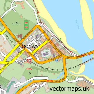
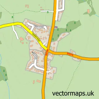
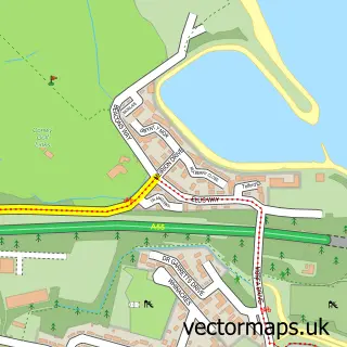
This Pentrefelin street map is a detailed vector street map covering a 750m x 750m area. Select a larger area to create and download your own vector street map of Pentrefelin.
The 750-metre map sample for Pentrefelin covers 89 mapped buildings and approximately 12.8 km of road detail, of which 3 named roads are named. The immediate area includes 2 GP surgeries within 2 miles and 1 MOT station, with 9 within 2 miles. The wider area around Pentrefelin features 2 tourism points of interest and 2 campsites within 2 miles. To create a larger or custom map of Pentrefelin, the map builder lets you define your own coverage area and download editable SVG, PDF and PNG files.
Create a larger editable map of Pentrefelin
Choose any area you need and generate a high-quality vector map instantly. Perfect for print, planning, design, business and personal use.

This Pentrefelin street map in Clwyd is available as downloadable SVG, PDF and PNG map files, or as a printed map for planning, business, display, education, local information and design work. You can also create a larger custom map area using the map selector.
What this Pentrefelin map sample shows
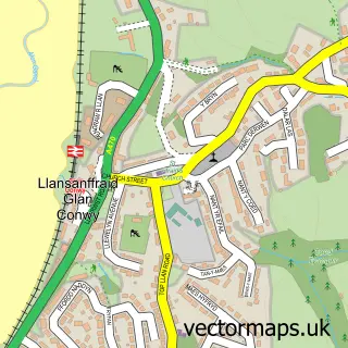
Pentrefelin lies within Llansanffraid Glan Conwy Community parish, part of Llansanffraid ward in the Conwy - Conwy local authority area. The postcode geography for this area includes the LL postcode area, the LL28 postcode district and the LL28 5 postcode sector. Residents fall under the Betsi Cadwaladr University Health Board for NHS services.
Local features near Pentrefelin
Within 2 milesAmenities and services in and around Pentrefelin.
Administrative and postcode information for Pentrefelin
The local authority covering Pentrefelin is Conwy - Conwy, within the county of Clwyd. The settlement lies within Llansanffraid ward and Llansanffraid Glan Conwy Community civil parish. The LL28 postcode district and LL28 5 postcode sector serve the immediate area. NHS provision in the area is delivered through Betsi Cadwaladr University Health Board.
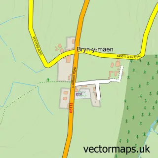
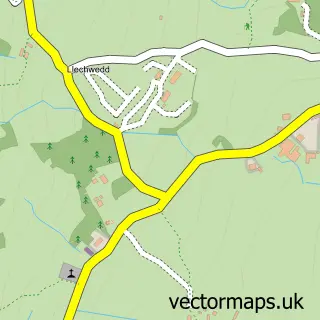
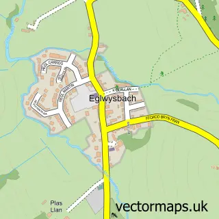
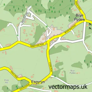
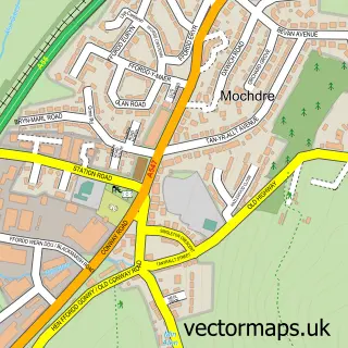
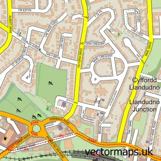
Nearby street map samples around Pentrefelin

More street maps in Clwyd
750 metre map area coverage
Boundary, postcode and point of interest information for the 750m x 750m rectangle centred on this sample map.
Boundaries containing map centre
Constituency: Bangor Aberconwy Co Const
District: Conwy - Conwy
Icb: Betsi Cadwaladr University
Parish: Llansanffraid Glan Conwy Community
Police Force: north wales
Postcode District: LL28
Postcode Sector: LL28 5
Nearby boundaries intersecting sample
No additional intersecting boundaries found.
Postcode coverage
POI category counts
Automotive Repair: 1
Building Supply Store: 1
Campground: 1
Driving School: 1
Flowers And Gifts Shop: 1
Furniture Store: 1
Legal Services: 1
Museum: 1
Nursery And Gardening: 1
Transportation: 1
Sample points of interest
- Pentrefelin North Wales
- Gordon H Richards
- Runofthemillwalesglamping
- Ady's Driving School
- The Very Nice Flower Company
- The Gift Company
- Felin Isaf Watermill
- Llangollen Motor Museum
- Aberconwy Nursery
- Buckley's Mobile Crane Service
- The Spicer Travel Bureau
- Expressway Vending
Create a larger editable map of Pentrefelin
This sample shows only a 750 metre area. To create a larger map of Pentrefelin, use our map builder to choose your own coverage area, add titles and download editable SVG, PDF and PNG files.
Create a custom map of Pentrefelin