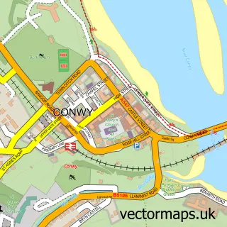
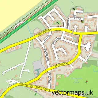
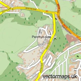
This Conwy Marina Village street map is a detailed vector street map covering a 750m x 750m area. Select a larger area to create and download your own vector street map of Conwy Marina Village.
The 750-metre map sample for Conwy Marina Village covers 117 mapped buildings and approximately 10.5 km of road detail, of which 15 named roads are named. The immediate area includes 3 GP surgeries within 2 miles, 4 pubs and 8 MOT stations within 2 miles. The wider area around Conwy Marina Village features 4 food and drink venues and 2 hotels. To create a larger or custom map of Conwy Marina Village, the map builder lets you define your own coverage area and download editable SVG, PDF and PNG files.
Create a larger editable map of Conwy Marina Village
Choose any area you need and generate a high-quality vector map instantly. Perfect for print, planning, design, business and personal use.

This Conwy Marina Village street map in Clwyd is available as downloadable SVG, PDF and PNG map files, or as a printed map for planning, business, display, education, local information and design work. You can also create a larger custom map area using the map selector.
What this Conwy Marina Village map sample shows
Conwy Marina Village lies within Conwy Community parish, part of Conwy ward in the Conwy - Conwy local authority area. The postcode geography for this area includes the LL postcode area, the LL32 postcode district and the LL32 8 postcode sector. Residents fall under the Betsi Cadwaladr University Health Board for NHS services.
Local features near Conwy Marina Village
Within 2 milesAmenities and services in and around Conwy Marina Village.
Administrative and postcode information for Conwy Marina Village
The local authority covering Conwy Marina Village is Conwy - Conwy, within the county of Clwyd. The settlement lies within Conwy ward and Conwy Community civil parish. The LL32 postcode district and LL32 8 postcode sector serve the immediate area. NHS provision in the area is delivered through Betsi Cadwaladr University Health Board.
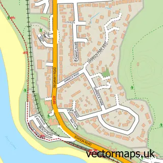
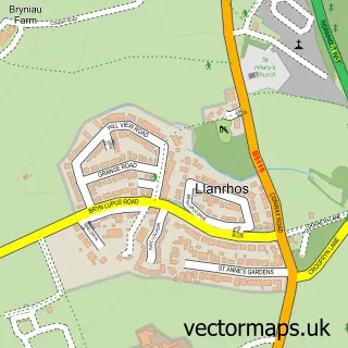
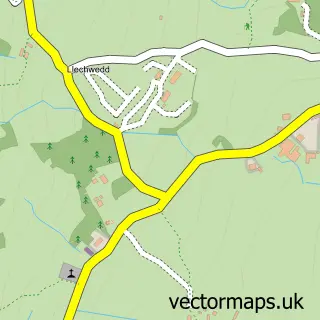
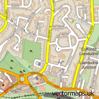
Nearby street map samples around Conwy Marina Village

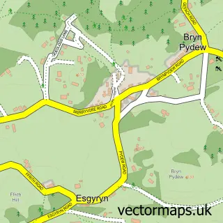
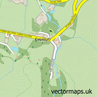
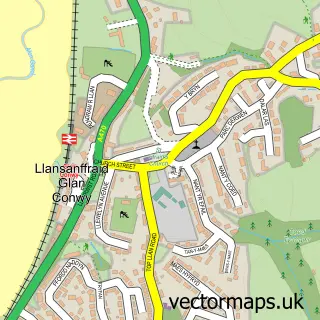
More street maps in Clwyd
750 metre map area coverage
Boundary, postcode and point of interest information for the 750m x 750m rectangle centred on this sample map.
Boundaries containing map centre
Constituency: Bangor Aberconwy Co Const
District: Conwy - Conwy
Icb: Betsi Cadwaladr University
Parish: Conwy Community
Police Force: north wales
Postcode District: LL32
Postcode Sector: LL32 8
Nearby boundaries intersecting sample
No additional intersecting boundaries found.
Postcode coverage
POI category counts
Pub: 4
Beach: 2
Hotel: 2
Sailing Club: 2
Accommodation: 1
Boat Charter: 1
Building Supply Store: 1
Child Care And Day Care: 1
Commercial Refrigeration: 1
Convenience Store: 1
Sample points of interest
- Conwy Marina
- Morfa Conwy
- Newborough Beach. Anglesey
- Boatpoint
- A55 Plumbing and Heating
- Conwy Morfa Day Nursery
- Aberconwy Cooling Refrigeration And Air Conditioning
- Mulberry Stores
- Ladybird Learners
- Conwy Caernarvonshire Golf Club
- Kids Planet Conwy
- North Wales Holiday Lets
Create a larger editable map of Conwy Marina Village
This sample shows only a 750 metre area. To create a larger map of Conwy Marina Village, use our map builder to choose your own coverage area, add titles and download editable SVG, PDF and PNG files.
Create a custom map of Conwy Marina Village