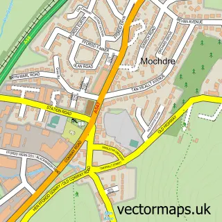
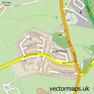
This Llansanffraid Glan Conwy street map is a detailed vector street map covering a 750m x 750m area. Select a larger area to create and download your own vector street map of Llansanffraid Glan Conwy.
The 750-metre map sample for Llansanffraid Glan Conwy covers 341 mapped buildings and approximately 13.1 km of road detail, of which 16 named roads are named. The immediate area includes 1 school, 1 railway station, 1 GP surgery, with 3 within 2 miles and 2 pubs among other local services. The wider area around Llansanffraid Glan Conwy features 1 tourism point of interest, 5 food and drink venues and 2 campsites within 2 miles. To create a larger or custom map of Llansanffraid Glan Conwy, the map builder lets you define your own coverage area and download editable SVG, PDF and PNG files.
Create a larger editable map of Llansanffraid Glan Conwy
Choose any area you need and generate a high-quality vector map instantly. Perfect for print, planning, design, business and personal use.

This Llansanffraid Glan Conwy street map in Clwyd is available as downloadable SVG, PDF and PNG map files, or as a printed map for planning, business, display, education, local information and design work. You can also create a larger custom map area using the map selector.
What this Llansanffraid Glan Conwy map sample shows
Llansanffraid Glan Conwy lies within Llansanffraid Glan Conwy Community parish, part of Llansanffraid ward in the Conwy - Conwy local authority area. The postcode geography for this area includes the LL postcode area, the LL28 postcode district and the LL28 5 postcode sector. Residents fall under the Betsi Cadwaladr University Health Board for NHS services.
Local features near Llansanffraid Glan Conwy
Within 2 milesAmenities and services in and around Llansanffraid Glan Conwy.
Administrative and postcode information for Llansanffraid Glan Conwy
Llansanffraid Glan Conwy lies within Llansanffraid Glan Conwy Community parish, part of Llansanffraid ward in the Conwy - Conwy local authority area. The postcode geography for this area includes the LL postcode area, the LL28 postcode district and the LL28 5 postcode sector. Residents fall under the Betsi Cadwaladr University Health Board for NHS services.
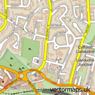
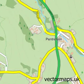
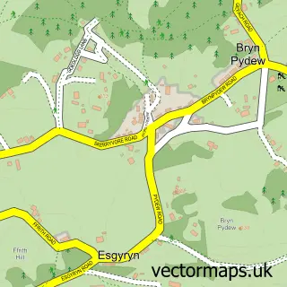
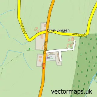
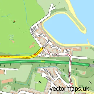
Nearby street map samples around Llansanffraid Glan Conwy

More street maps in Clwyd
750 metre map area coverage
Boundary, postcode and point of interest information for the 750m x 750m rectangle centred on this sample map.
Boundaries containing map centre
Constituency: Bangor Aberconwy Co Const
District: Conwy - Conwy
Icb: Betsi Cadwaladr University
Parish: Llansanffraid Glan Conwy Community
Police Force: north wales
Postcode District: LL28
Postcode Sector: LL28 5
Nearby boundaries intersecting sample
No additional intersecting boundaries found.
Postcode coverage
POI category counts
Cafe: 2
Church Cathedral: 2
Elementary School: 2
Pub: 2
Retail: 2
Attractions And Activities: 1
Auto Customization: 1
Automotive Repair: 1
Beauty And Spa: 1
Building Supply Store: 1
Sample points of interest
- Acre Field
- Crash Repair Centre
- Riverside Garage
- Makeup By Sianny
- CWR Grounds Maintenance Ltd
- Caffi Llan
- Olive Tree Coffee Shop
- Wok U Like
- Church House, Church St
- St Ffraid's Church
- Dust Busters
- The Olive Tree Coffee Shop
Create a larger editable map of Llansanffraid Glan Conwy
This sample shows only a 750 metre area. To create a larger map of Llansanffraid Glan Conwy, use our map builder to choose your own coverage area, add titles and download editable SVG, PDF and PNG files.
Create a custom map of Llansanffraid Glan Conwy