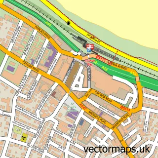
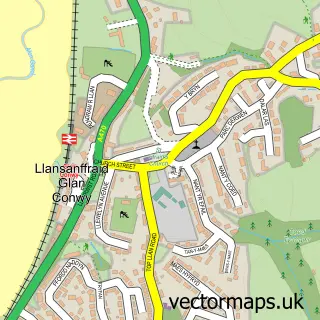
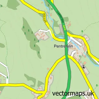
This Mochdre street map is a detailed vector street map covering a 750m x 750m area. Select a larger area to create and download your own vector street map of Mochdre.
The 750-metre map sample for Mochdre covers 379 mapped buildings and approximately 17.8 km of road detail, of which 31 named roads are named. The immediate area includes 1 school, 1 GP surgery within 2 miles, 1 pub and 2 MOT stations, with 18 within 2 miles. The wider area around Mochdre features 4 food and drink venues, 2 hotels and 2 campsites within 2 miles. To create a larger or custom map of Mochdre, the map builder lets you define your own coverage area and download editable SVG, PDF and PNG files.
Create a larger editable map of Mochdre
Choose any area you need and generate a high-quality vector map instantly. Perfect for print, planning, design, business and personal use.

This Mochdre street map in Clwyd is available as downloadable SVG, PDF and PNG map files, or as a printed map for planning, business, display, education, local information and design work. You can also create a larger custom map area using the map selector.
What this Mochdre map sample shows
Mochdre lies within Mochdre Community parish, part of Mochdre ward in the Conwy - Conwy local authority area. The postcode geography for this area includes the LL postcode area, the LL28 postcode district and the LL28 5 postcode sector. Residents fall under the Betsi Cadwaladr University Health Board for NHS services.
Local features near Mochdre
Within 2 milesAmenities and services in and around Mochdre.
Administrative and postcode information for Mochdre
The local authority covering Mochdre is Conwy - Conwy, within the county of Clwyd. The settlement lies within Mochdre ward and Mochdre Community civil parish. The LL28 postcode district and LL28 5 postcode sector serve the immediate area. NHS provision in the area is delivered through Betsi Cadwaladr University Health Board.
Nearby street map samples around Mochdre

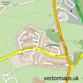
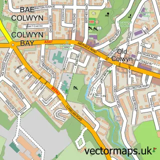
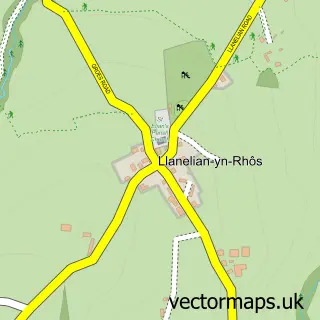
More street maps in Clwyd
750 metre map area coverage
Boundary, postcode and point of interest information for the 750m x 750m rectangle centred on this sample map.
Boundaries containing map centre
Constituency: Clwyd North Co Const
District: Conwy - Conwy
Icb: Betsi Cadwaladr University
Parish: Mochdre Community
Police Force: north wales
Postcode District: LL28
Postcode Sector: LL28 5
Nearby boundaries intersecting sample
Constituency: Bangor Aberconwy Co Const
Parish: Llandudno Community, Rhos-on-Sea Community
Postcode District: LL31
Postcode Sector: LL31 9
Postcode coverage
POI category counts
Building Supply Store: 8
Automotive Repair: 5
Automotive Parts And Accessories: 3
Electrician: 3
Hardware Store: 3
Business Manufacturing And Supply: 2
Car Dealer: 2
Construction Services: 2
Contractor: 2
Convenience Store: 2
Sample points of interest
- Holiday Let Advice Centre
- Martial Arts Kit
- Stovefitter's Warehouse
- Carbon Culture
- Absolute Precision Auto Detailing
- CME Conwy Motorsport Engineering
- ABC Auto Electrical Spares
- Autovision
- Truck Parts North Wales
- Advance Autoparts
- Black Cat Clutches Ltd
- N S Motors
Create a larger editable map of Mochdre
This sample shows only a 750 metre area. To create a larger map of Mochdre, use our map builder to choose your own coverage area, add titles and download editable SVG, PDF and PNG files.
Create a custom map of Mochdre