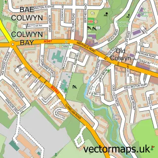
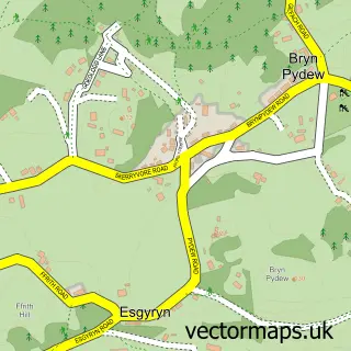
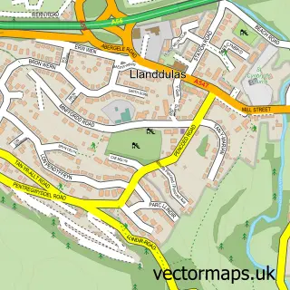
This Colwyn Bay street map is a detailed vector street map covering a 750m x 750m area. Select a larger area to create and download your own vector street map of Colwyn Bay.
The 750-metre map sample for Colwyn Bay covers 320 mapped buildings and approximately 25.4 km of road detail, of which 46 named roads are named. The immediate area includes 1 railway station, 7 pubs and 1 MOT station, with 11 within 2 miles. The wider area around Colwyn Bay features 5 tourism points of interest, 30 food and drink venues and 2 hotels. To create a larger or custom map of Colwyn Bay, the map builder lets you define your own coverage area and download editable SVG, PDF and PNG files.
Create a larger editable map of Colwyn Bay
Choose any area you need and generate a high-quality vector map instantly. Perfect for print, planning, design, business and personal use.

This Colwyn Bay street map in Clwyd is available as downloadable SVG, PDF and PNG map files, or as a printed map for planning, business, display, education, local information and design work. You can also create a larger custom map area using the map selector.
What this Colwyn Bay map sample shows
Colwyn Bay lies within Colwyn Bay Community parish, part of Rhiw ward in the Conwy - Conwy local authority area. The postcode geography for this area includes the LL postcode area, the LL29 postcode district and the LL29 7 postcode sector. Residents fall under the Betsi Cadwaladr University Health Board for NHS services.
Local features near Colwyn Bay
Within 2 milesAmenities and services in and around Colwyn Bay.
Administrative and postcode information for Colwyn Bay
The local authority covering Colwyn Bay is Conwy - Conwy, within the county of Clwyd. The settlement lies within Rhiw ward and Colwyn Bay Community civil parish. The LL29 postcode district and LL29 7 postcode sector serve the immediate area. NHS provision in the area is delivered through Betsi Cadwaladr University Health Board.
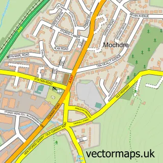
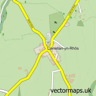
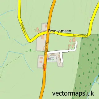
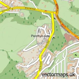
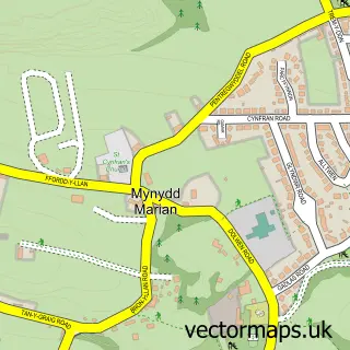
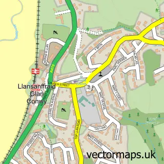
Nearby street map samples around Colwyn Bay

More street maps in Clwyd
750 metre map area coverage
Boundary, postcode and point of interest information for the 750m x 750m rectangle centred on this sample map.
Boundaries containing map centre
Constituency: Clwyd North Co Const
District: Conwy - Conwy
Icb: Betsi Cadwaladr University
Parish: Colwyn Bay Community
Police Force: north wales
Postcode District: LL29
Postcode Sector: LL29 8
Nearby boundaries intersecting sample
Postcode Sector: LL29 7
Postcode coverage
POI category counts
Beauty Salon: 25
Professional Services: 18
Beauty And Spa: 10
Community Services Non Profits: 10
Cafe: 9
Coffee Shop: 8
Discount Store: 8
Hair Salon: 8
It Service And Computer Repair: 8
Mobile Phone Store: 8
Sample points of interest
- Aston Hughes and Co
- PORT & Co Chartered Certified Accountants
- Task Accounting Limited
- Tax Driven Accountants
- TaxAssist Accountants
- Ffit Conwy Leisure Development
- Bay of Colwyn Town Management
- North Wales Business Energy
- TBC Marketing
- Colwyn Bay Business Lounge
- Massage in Motion Mobile Massage Therapy
- Premier Amusements
Create a larger editable map of Colwyn Bay
This sample shows only a 750 metre area. To create a larger map of Colwyn Bay, use our map builder to choose your own coverage area, add titles and download editable SVG, PDF and PNG files.
Create a custom map of Colwyn Bay