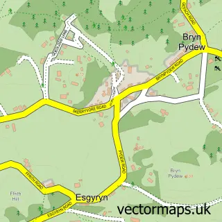
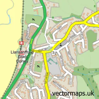
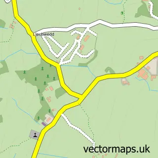
This Llandudno Junction street map is a detailed vector street map covering a 750m x 750m area. Select a larger area to create and download your own vector street map of Llandudno Junction.
The 750-metre map sample for Llandudno Junction covers 556 mapped buildings and approximately 22.3 km of road detail, of which 42 named roads are named. The immediate area includes 1 railway station, 4 GP surgeries within 2 miles, 1 pub and 10 MOT stations within 2 miles. The wider area around Llandudno Junction features 3 tourism points of interest, 4 food and drink venues and 2 hotels. To create a larger or custom map of Llandudno Junction, the map builder lets you define your own coverage area and download editable SVG, PDF and PNG files.
Create a larger editable map of Llandudno Junction
Choose any area you need and generate a high-quality vector map instantly. Perfect for print, planning, design, business and personal use.

This Llandudno Junction street map in Clwyd is available as downloadable SVG, PDF and PNG map files, or as a printed map for planning, business, display, education, local information and design work. You can also create a larger custom map area using the map selector.
What this Llandudno Junction map sample shows
Llandudno Junction lies within Conwy Community parish, part of Marl ward in the Conwy - Conwy local authority area. The postcode geography for this area includes the LL postcode area, the LL31 postcode district and the LL31 9 postcode sector. Residents fall under the Betsi Cadwaladr University Health Board for NHS services.
Local features near Llandudno Junction
Within 2 milesAmenities and services in and around Llandudno Junction.
Administrative and postcode information for Llandudno Junction
Llandudno Junction lies within Conwy Community parish, part of Marl ward in the Conwy - Conwy local authority area. The postcode geography for this area includes the LL postcode area, the LL31 postcode district and the LL31 9 postcode sector. Residents fall under the Betsi Cadwaladr University Health Board for NHS services.
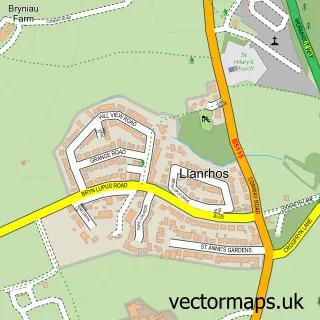
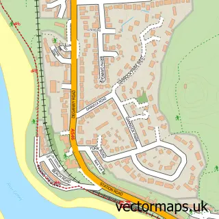
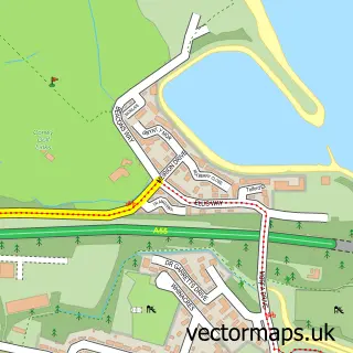
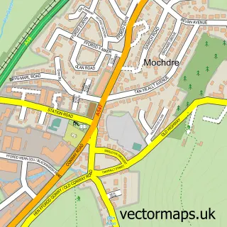
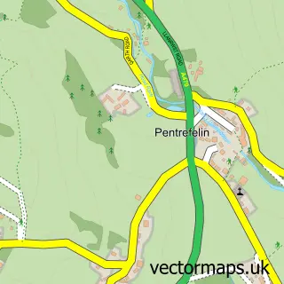
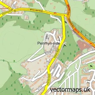
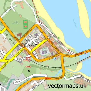
Nearby street map samples around Llandudno Junction

More street maps in Clwyd
750 metre map area coverage
Boundary, postcode and point of interest information for the 750m x 750m rectangle centred on this sample map.
Boundaries containing map centre
Constituency: Bangor Aberconwy Co Const
District: Conwy - Conwy
Icb: Betsi Cadwaladr University
Parish: Conwy Community
Police Force: north wales
Postcode District: LL31
Postcode Sector: LL31 9
Nearby boundaries intersecting sample
No additional intersecting boundaries found.
Postcode coverage
POI category counts
Car Dealer: 5
Plumbing: 3
Supermarket: 3
Antique Store: 2
Auto Electrical Repair: 2
Automotive Repair: 2
Beauty Salon: 2
Chinese Restaurant: 2
Clothing Store: 2
Fast Food Restaurant: 2
Sample points of interest
- Accounting Logic
- Little Dragons Rugby
- St Michael and All Angels Church
- Collinge Antiques
- The Country Seat
- The Emporium
- Plas Tre Marl Residential Care
- MJP Electrical Services
- Ormesat
- Craig's Paint & Body
- Jules original Rover 75 ZT Specialist-established 2005
- The Killer : )
Create a larger editable map of Llandudno Junction
This sample shows only a 750 metre area. To create a larger map of Llandudno Junction, use our map builder to choose your own coverage area, add titles and download editable SVG, PDF and PNG files.
Create a custom map of Llandudno Junction