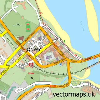
This Deganwy street map is a detailed vector street map covering a 750m x 750m area. Select a larger area to create and download your own vector street map of Deganwy.
The 750-metre map sample for Deganwy covers 283 mapped buildings and approximately 11.2 km of road detail, of which 17 named roads are named. The immediate area includes 1 railway station, 1 GP surgery, with 3 within 2 miles and 17 MOT stations within 2 miles. The wider area around Deganwy features 2 tourism points of interest, 2 food and drink venues and 4 hotels. To create a larger or custom map of Deganwy, the map builder lets you define your own coverage area and download editable SVG, PDF and PNG files.
Create a larger editable map of Deganwy
Choose any area you need and generate a high-quality vector map instantly. Perfect for print, planning, design, business and personal use.

This Deganwy street map in Clwyd is available as downloadable SVG, PDF and PNG map files, or as a printed map for planning, business, display, education, local information and design work. You can also create a larger custom map area using the map selector.
What this Deganwy map sample shows
Deganwy lies within Llandudno Community parish, part of Tudno ward in the Conwy - Conwy local authority area. The postcode geography for this area includes the LL postcode area, the LL30 postcode district and the LL30 1 postcode sector. Residents fall under the Betsi Cadwaladr University Health Board for NHS services.
Local features near Deganwy
Within 2 milesAmenities and services in and around Deganwy.
Administrative and postcode information for Deganwy
Deganwy lies within Llandudno Community parish, part of Tudno ward in the Conwy - Conwy local authority area. The postcode geography for this area includes the LL postcode area, the LL30 postcode district and the LL30 1 postcode sector. Residents fall under the Betsi Cadwaladr University Health Board for NHS services.
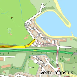
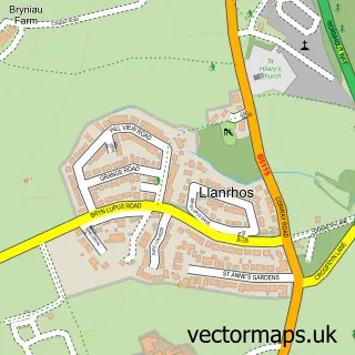
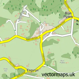
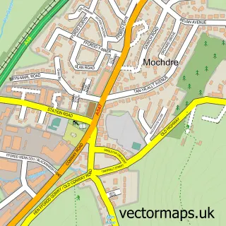
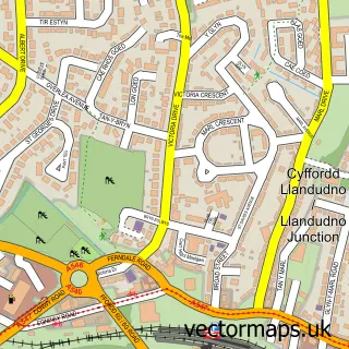
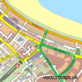
Nearby street map samples around Deganwy

More street maps in Clwyd
750 metre map area coverage
Boundary, postcode and point of interest information for the 750m x 750m rectangle centred on this sample map.
Boundaries containing map centre
Constituency: Bangor Aberconwy Co Const
District: Conwy - Conwy
Icb: Betsi Cadwaladr University
Parish: Conwy Community
Police Force: north wales
Postcode District: LL31
Postcode Sector: LL31 9
Nearby boundaries intersecting sample
Postcode District: LL30
Postcode Sector: LL30 1
Postcode coverage
POI category counts
Hotel: 4
Train Station: 3
Barber: 2
Beauty Salon: 2
Flowers And Gifts Shop: 2
Hair Salon: 2
Indian Restaurant: 2
Naturopathic Holistic: 2
Alternative Medicine: 1
Antique Store: 1
Sample points of interest
- Deganwy Osteopathic Clinic
- Acorn Antiques
- Matthew Jones Architects
- Rozi's
- Rock Solid Wales
- Jai Ho Restaurant
- Kara barbershop
- Nicolas Barbershop
- Deganwy Beach
- Curl Up & Dye
- Nails by Agata
- Serisabelle Deganwy
Create a larger editable map of Deganwy
This sample shows only a 750 metre area. To create a larger map of Deganwy, use our map builder to choose your own coverage area, add titles and download editable SVG, PDF and PNG files.
Create a custom map of Deganwy