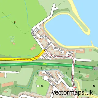
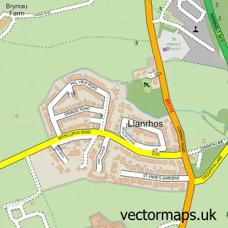
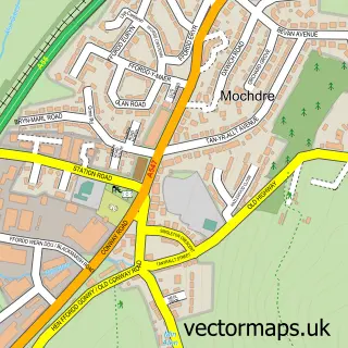
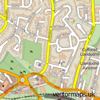
This Conwy street map is a detailed vector street map covering a 750m x 750m area. Select a larger area to create and download your own vector street map of Conwy.
The 750-metre map sample for Conwy covers 161 mapped buildings and approximately 13.9 km of road detail, of which 32 named roads are named. The immediate area includes 1 school, 1 railway station, 1 GP surgery, with 4 within 2 miles and 10 pubs among other local services. The wider area around Conwy features 22 tourism points of interest, 33 food and drink venues and 12 hotels. To create a larger or custom map of Conwy, the map builder lets you define your own coverage area and download editable SVG, PDF and PNG files.
Create a larger editable map of Conwy
Choose any area you need and generate a high-quality vector map instantly. Perfect for print, planning, design, business and personal use.

This Conwy street map in Clwyd is available as downloadable SVG, PDF and PNG map files, or as a printed map for planning, business, display, education, local information and design work. You can also create a larger custom map area using the map selector.
What this Conwy map sample shows
Conwy lies within Conwy Community parish, part of Conwy ward in the Conwy - Conwy local authority area. The postcode geography for this area includes the LL postcode area, the LL32 postcode district and the LL32 8 postcode sector. Residents fall under the Betsi Cadwaladr University Health Board for NHS services.
Local features near Conwy
Within 2 milesAmenities and services in and around Conwy.
Administrative and postcode information for Conwy
The local authority covering Conwy is Conwy - Conwy, within the county of Clwyd. The settlement lies within Conwy ward and Conwy Community civil parish. The LL32 postcode district and LL32 8 postcode sector serve the immediate area. NHS provision in the area is delivered through Betsi Cadwaladr University Health Board.
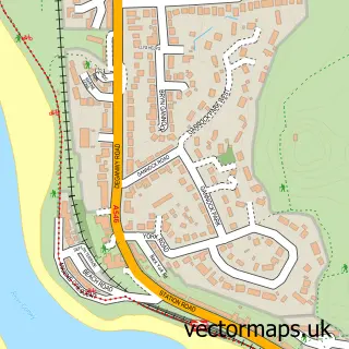
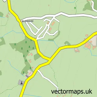
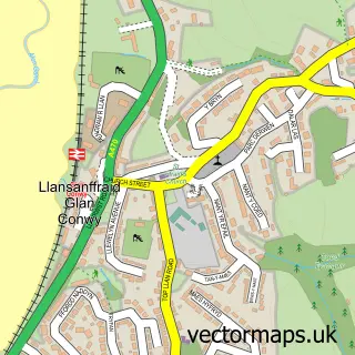
Nearby street map samples around Conwy

More street maps in Clwyd
750 metre map area coverage
Boundary, postcode and point of interest information for the 750m x 750m rectangle centred on this sample map.
Boundaries containing map centre
Constituency: Bangor Aberconwy Co Const
District: Conwy - Conwy
Icb: Betsi Cadwaladr University
Parish: Conwy Community
Police Force: north wales
Postcode District: LL32
Postcode Sector: LL32 8
Nearby boundaries intersecting sample
Postcode District: LL31
Postcode Sector: LL31 9
Postcode coverage
POI category counts
Hotel: 12
Landmark And Historical Building: 12
Pub: 10
Restaurant: 10
Clothing Store: 9
Bed And Breakfast: 8
Cafe: 8
Flowers And Gifts Shop: 8
Professional Services: 7
Bakery: 5
Sample points of interest
- Happy Shrimp Marketing
- Summit Branding Ltd
- 20th Century Modern Antiques & Collectables
- Drew Pritchard Antiques
- Paul Gibbs
- The Old Auction Rooms
- Base - Architects & Planning
- Donald Insall Associates
- JAR Architecture
- Oriel Gallery
- Royal Cambrian Academy of Art
- The Arterium Hub
Create a larger editable map of Conwy
This sample shows only a 750 metre area. To create a larger map of Conwy, use our map builder to choose your own coverage area, add titles and download editable SVG, PDF and PNG files.
Create a custom map of Conwy