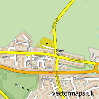
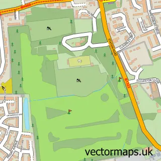
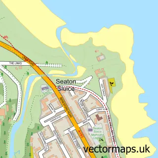
This Tynemouth street map is a detailed vector street map covering a 750m x 750m area. Select a larger area to create and download your own vector street map of Tynemouth.
The 750-metre map sample for Tynemouth covers 182 mapped buildings and approximately 21.0 km of road detail, of which 49 named roads are named. The immediate area includes 1 school, 1 railway station, 4 GP surgeries within 2 miles and 11 pubs among other local services. The wider area around Tynemouth features 4 tourism points of interest and 35 food and drink venues. To create a larger or custom map of Tynemouth, the map builder lets you define your own coverage area and download editable SVG, PDF and PNG files.
Create a larger editable map of Tynemouth
Choose any area you need and generate a high-quality vector map instantly. Perfect for print, planning, design, business and personal use.

This Tynemouth street map in Tyne & Wear is available as downloadable SVG, PDF and PNG map files, or as a printed map for planning, business, display, education, local information and design work. You can also create a larger custom map area using the map selector.
What this Tynemouth map sample shows
Tynemouth lies within North Tyneside District (B) parish, part of Tynemouth ward in the North Tyneside District (B) local authority area. The postcode geography for this area includes the NE postcode area, the NE30 postcode district and the NE30 4 postcode sector. Residents fall under the Nhs North East And North Cumbria Integrated Care Board for NHS services.
Local features near Tynemouth
Within 2 milesAmenities and services in and around Tynemouth.
Administrative and postcode information for Tynemouth
Tynemouth lies within North Tyneside District (B) parish, part of Tynemouth ward in the North Tyneside District (B) local authority area. The postcode geography for this area includes the NE postcode area, the NE30 postcode district and the NE30 4 postcode sector. Residents fall under the Nhs North East And North Cumbria Integrated Care Board for NHS services.
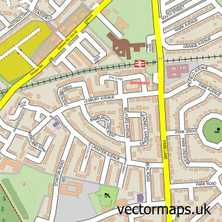
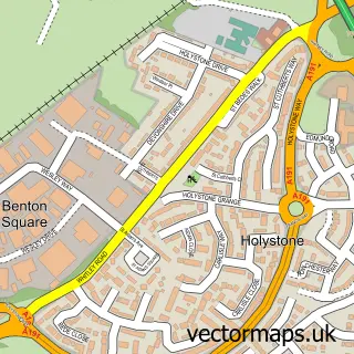
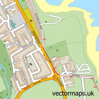
Nearby street map samples around Tynemouth

More street maps in Tyne & Wear
750 metre map area coverage
Boundary, postcode and point of interest information for the 750m x 750m rectangle centred on this sample map.
Boundaries containing map centre
Constituency: Tynemouth Boro Const
District: North Tyneside District (B)
Icb: NHS North East and North Cumbria ICB
Police Force: northumberland
Postcode District: NE30
Postcode Sector: NE30 4
Ward: Tynemouth Ward
Nearby boundaries intersecting sample
Postcode Sector: NE30 2
Postcode coverage
POI category counts
Cafe: 14
Bar: 11
Pub: 11
Flowers And Gifts Shop: 8
Restaurant: 6
Professional Services: 5
Real Estate Agent: 5
Seafood Restaurant: 5
Clothing Store: 4
Coffee Shop: 4
Sample points of interest
- Artichoke Tynemouth
- The Church of the Holy Saviour, Tynemouth Priory
- Northumbria Mirrors and Interiors
- Tynemouth Markets
- 216 Squadron Royal Logistic Corps Army Reserves
- StavesArt
- Amethyst Craft's
- Dusty Souls Art
- Tynemouth WI
- Velvet Tiger Tynemouth
- The Cooperative Food Tynemouth, Tynemouth
- Tynemouth Beach
Create a larger editable map of Tynemouth
This sample shows only a 750 metre area. To create a larger map of Tynemouth, use our map builder to choose your own coverage area, add titles and download editable SVG, PDF and PNG files.
Create a custom map of Tynemouth