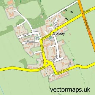
This Welbourn street map is a detailed vector street map covering a 750m x 750m area. Select a larger area to create and download your own vector street map of Welbourn.
The 750-metre map sample for Welbourn covers 212 mapped buildings and approximately 16.0 km of road detail, of which 17 named roads are named. The immediate area includes 1 school, 1 pub and 1 MOT station within 2 miles. The wider area around Welbourn features 1 food and drink venue. To create a larger or custom map of Welbourn, the map builder lets you define your own coverage area and download editable SVG, PDF and PNG files.
Create a larger editable map of Welbourn
Choose any area you need and generate a high-quality vector map instantly. Perfect for print, planning, design, business and personal use.

This Welbourn street map in Lincolnshire is available as downloadable SVG, PDF and PNG map files, or as a printed map for planning, business, display, education, local information and design work. You can also create a larger custom map area using the map selector.
What this Welbourn map sample shows
Welbourn lies within Welbourn Cp parish, part of Cliff Villages ward in the North Kesteven District local authority area. The postcode geography for this area includes the LN postcode area, the LN5 postcode district and the LN5 0 postcode sector. Residents fall under the Nhs Lincolnshire Integrated Care Board for NHS services.
Local features near Welbourn
Within 2 milesAmenities and services in and around Welbourn.
Administrative and postcode information for Welbourn
The local authority covering Welbourn is North Kesteven District, within the county of Lincolnshire. The settlement lies within Cliff Villages ward and Welbourn Cp civil parish. The LN5 postcode district and LN5 0 postcode sector serve the immediate area. NHS provision in the area is delivered through United Lincolnshire Hospitals Nhs Trust.
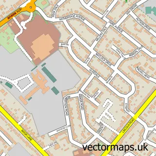
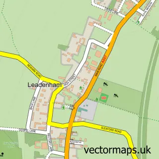
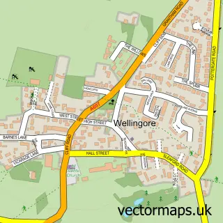
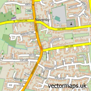
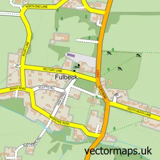
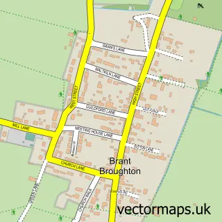
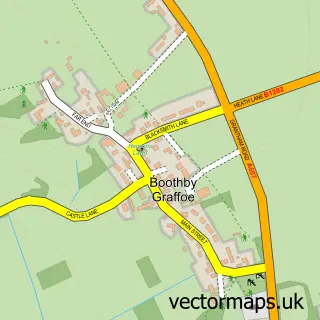
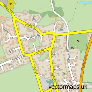
Nearby street map samples around Welbourn

More street maps in Lincolnshire
750 metre map area coverage
Boundary, postcode and point of interest information for the 750m x 750m rectangle centred on this sample map.
Boundaries containing map centre
Constituency: Sleaford and North Hykeham Co Const
County: Lincolnshire County
District: North Kesteven District
Icb: NHS Lincolnshire ICB
Parish: Welbourn CP
Police Force: lincolnshire
Postcode District: LN5
Postcode Sector: LN5 0
Ward: Navenby & Brant Broughton Ward
Nearby boundaries intersecting sample
No additional intersecting boundaries found.
Postcode coverage
POI category counts
Convenience Store: 3
Elementary School: 2
Retirement Home: 2
Church Cathedral: 1
Currency Exchange: 1
Dog Walkers: 1
Educational Services: 1
Farm: 1
Gardener: 1
Hair Salon: 1
Sample points of interest
- St Chad's Church
- Old Forge Village Shop
- Post Office-Welbourn
- Premier
- Post Office Travel Money
- Mindful Tails Pet Services
- Broadbent Maths
- The Welbourn Church of England Primary School
- Welbourn C of E Primary School
- Welbourn Farms
- Gardens by Ian Batchelor
- Crop Shop
Create a larger editable map of Welbourn
This sample shows only a 750 metre area. To create a larger map of Welbourn, use our map builder to choose your own coverage area, add titles and download editable SVG, PDF and PNG files.
Create a custom map of Welbourn