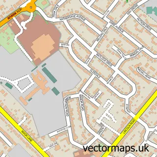
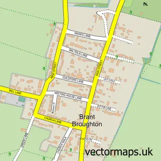
This Navenby street map is a detailed vector street map covering a 750m x 750m area. Select a larger area to create and download your own vector street map of Navenby.
The 750-metre map sample for Navenby covers 677 mapped buildings and approximately 23.8 km of road detail, of which 40 named roads are named. The immediate area includes 1 school, 1 GP surgery, 3 pubs and 2 MOT stations within 2 miles. The wider area around Navenby features 1 tourism point of interest and 8 food and drink venues. To create a larger or custom map of Navenby, the map builder lets you define your own coverage area and download editable SVG, PDF and PNG files.
Create a larger editable map of Navenby
Choose any area you need and generate a high-quality vector map instantly. Perfect for print, planning, design, business and personal use.

This Navenby street map in Lincolnshire is available as downloadable SVG, PDF and PNG map files, or as a printed map for planning, business, display, education, local information and design work. You can also create a larger custom map area using the map selector.
What this Navenby map sample shows
Navenby lies within Navenby Cp parish, part of Cliff Villages ward in the North Kesteven District local authority area. The postcode geography for this area includes the LN postcode area, the LN5 postcode district and the LN5 0 postcode sector. Residents fall under the Nhs Lincolnshire Integrated Care Board for NHS services.
Local features near Navenby
Within 2 milesAmenities and services in and around Navenby.
Administrative and postcode information for Navenby
Navenby lies within Navenby Cp parish, part of Cliff Villages ward in the North Kesteven District local authority area. The postcode geography for this area includes the LN postcode area, the LN5 postcode district and the LN5 0 postcode sector. Residents fall under the Nhs Lincolnshire Integrated Care Board for NHS services.
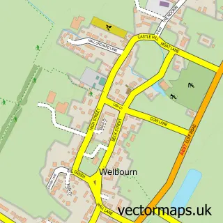
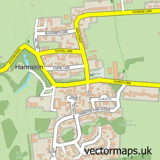
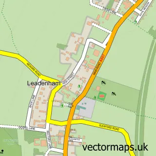
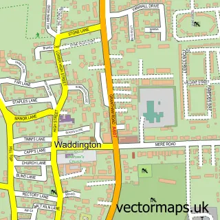
Nearby street map samples around Navenby

More street maps in Lincolnshire
750 metre map area coverage
Boundary, postcode and point of interest information for the 750m x 750m rectangle centred on this sample map.
Boundaries containing map centre
Constituency: Sleaford and North Hykeham Co Const
County: Lincolnshire County
District: North Kesteven District
Icb: NHS Lincolnshire ICB
Parish: Navenby CP
Police Force: lincolnshire
Postcode District: LN5
Postcode Sector: LN5 0
Ward: Navenby & Brant Broughton Ward
Nearby boundaries intersecting sample
No additional intersecting boundaries found.
Postcode coverage
POI category counts
Automotive Repair: 4
Barber: 4
Beauty Salon: 3
Convenience Store: 3
Pub: 3
Bakery: 2
Bridal Shop: 2
Cafe: 2
Education: 2
Fish And Chips Restaurant: 2
Sample points of interest
- Enright Towers
- Acupuncture by Kirstie
- St Peters, Navenby
- Navenby Antiques Centre
- Lincolnshire Co-op - Navenby (001044), Navenby
- East Restorations
- HerbieTech Auto Repairs
- Ray's Auto Services
- Redding & Sons
- Robin Rose Bakes
- Welbournes Bakery
- Hair & Beauty Lounge
Create a larger editable map of Navenby
This sample shows only a 750 metre area. To create a larger map of Navenby, use our map builder to choose your own coverage area, add titles and download editable SVG, PDF and PNG files.
Create a custom map of Navenby