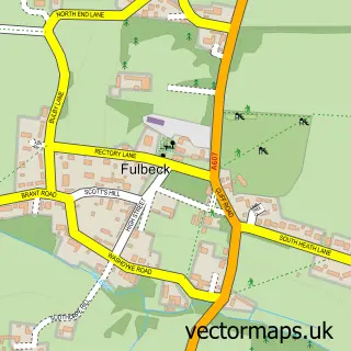
This Wellingore street map is a detailed vector street map covering a 750m x 750m area. Select a larger area to create and download your own vector street map of Wellingore.
The 750-metre map sample for Wellingore covers 325 mapped buildings and approximately 21.0 km of road detail, of which 27 named roads are named. The immediate area includes 1 GP surgery within 2 miles, 2 pubs and 1 MOT station, with 2 within 2 miles. The wider area around Wellingore features 2 food and drink venues. To create a larger or custom map of Wellingore, the map builder lets you define your own coverage area and download editable SVG, PDF and PNG files.
Create a larger editable map of Wellingore
Choose any area you need and generate a high-quality vector map instantly. Perfect for print, planning, design, business and personal use.

This Wellingore street map in Lincolnshire is available as downloadable SVG, PDF and PNG map files, or as a printed map for planning, business, display, education, local information and design work. You can also create a larger custom map area using the map selector.
What this Wellingore map sample shows
Wellingore lies within Wellingore Cp parish, part of Cliff Villages ward in the North Kesteven District local authority area. The postcode geography for this area includes the LN postcode area, the LN5 postcode district and the LN5 0 postcode sector. Residents fall under the Nhs Lincolnshire Integrated Care Board for NHS services.
Local features near Wellingore
Within 2 milesAmenities and services in and around Wellingore.
Administrative and postcode information for Wellingore
The local authority covering Wellingore is North Kesteven District, within the county of Lincolnshire. The settlement lies within Cliff Villages ward and Wellingore Cp civil parish. The LN5 postcode district and LN5 0 postcode sector serve the immediate area. NHS provision in the area is delivered through United Lincolnshire Hospitals Nhs Trust.
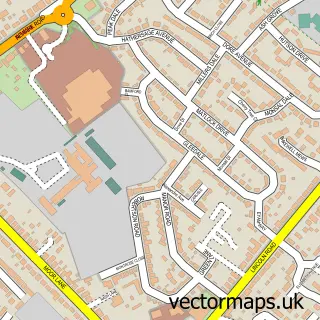
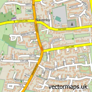
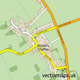
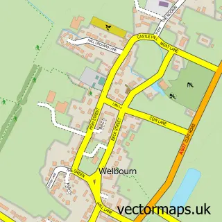
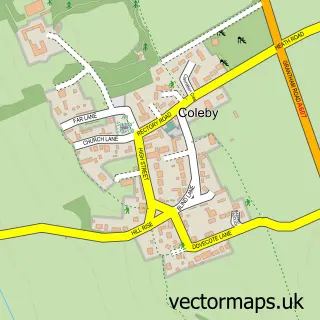
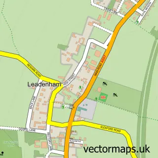
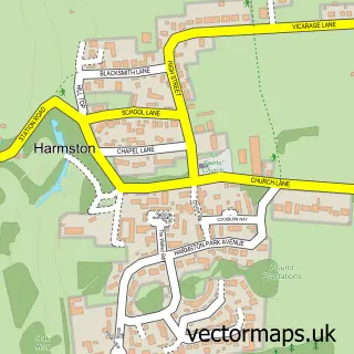
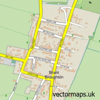
Nearby street map samples around Wellingore

More street maps in Lincolnshire
750 metre map area coverage
Boundary, postcode and point of interest information for the 750m x 750m rectangle centred on this sample map.
Boundaries containing map centre
Constituency: Sleaford and North Hykeham Co Const
County: Lincolnshire County
District: North Kesteven District
Icb: NHS Lincolnshire ICB
Parish: Wellingore CP
Police Force: lincolnshire
Postcode District: LN5
Postcode Sector: LN5 0
Ward: Navenby & Brant Broughton Ward
Nearby boundaries intersecting sample
Parish: Navenby CP
Postcode coverage
POI category counts
Charity Organization: 2
Event Planning: 2
Printing Services: 2
Pub: 2
Accountant: 1
Alternative Medicine: 1
Anglican Church: 1
Antique Store: 1
Automotive Repair: 1
Bar: 1
Sample points of interest
- Mumby Heppenstall
- Red Hall Lincoln
- All Saints, Wellingore
- Number 6 Antiques
- Wellingore Garage Ltd
- red lion
- Belle & Bouquet
- Byland Countryside Services
- Prom Transport UK
- The Firebird Trust
- The Orders of St John Care Trust
- Wellingore Memorial Hall
Create a larger editable map of Wellingore
This sample shows only a 750 metre area. To create a larger map of Wellingore, use our map builder to choose your own coverage area, add titles and download editable SVG, PDF and PNG files.
Create a custom map of Wellingore