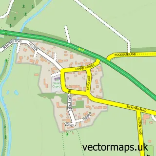
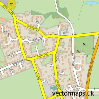
This Brant Broughton street map is a detailed vector street map covering a 750m x 750m area. Select a larger area to create and download your own vector street map of Brant Broughton.
The 750-metre map sample for Brant Broughton covers 263 mapped buildings and approximately 19.7 km of road detail, of which 14 named roads are named. The immediate area includes 1 school, 2 pubs and 1 MOT station within 2 miles. The wider area around Brant Broughton features 2 food and drink venues and 1 campsite within 2 miles. To create a larger or custom map of Brant Broughton, the map builder lets you define your own coverage area and download editable SVG, PDF and PNG files.
Create a larger editable map of Brant Broughton
Choose any area you need and generate a high-quality vector map instantly. Perfect for print, planning, design, business and personal use.

This Brant Broughton street map in Lincolnshire is available as downloadable SVG, PDF and PNG map files, or as a printed map for planning, business, display, education, local information and design work. You can also create a larger custom map area using the map selector.
What this Brant Broughton map sample shows
Brant Broughton lies within Brant Broughton And Stragglethorpe Cp parish, part of Bassingham And Brant Broughton ward in the North Kesteven District local authority area. The postcode geography for this area includes the LN postcode area, the LN5 postcode district and the LN5 0 postcode sector. Residents fall under the Nhs Lincolnshire Integrated Care Board for NHS services.
Local features near Brant Broughton
Within 2 milesAmenities and services in and around Brant Broughton.
Administrative and postcode information for Brant Broughton
The local authority covering Brant Broughton is North Kesteven District, within the county of Lincolnshire. The settlement lies within Bassingham And Brant Broughton ward and Brant Broughton And Stragglethorpe Cp civil parish. The LN5 postcode district and LN5 0 postcode sector serve the immediate area. NHS provision in the area is delivered through United Lincolnshire Hospitals Nhs Trust.
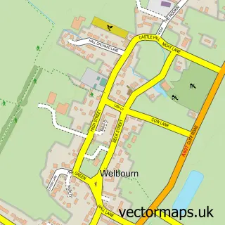
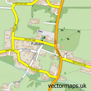
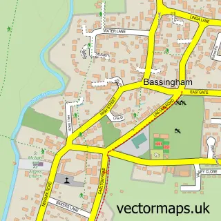
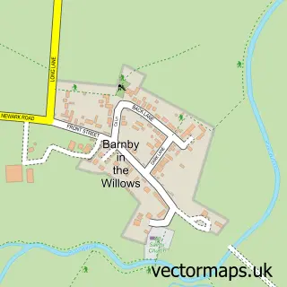
Nearby street map samples around Brant Broughton

More street maps in Lincolnshire
750 metre map area coverage
Boundary, postcode and point of interest information for the 750m x 750m rectangle centred on this sample map.
Boundaries containing map centre
Constituency: Sleaford and North Hykeham Co Const
County: Lincolnshire County
District: North Kesteven District
Icb: NHS Lincolnshire ICB
Parish: Brant Broughton and Stragglethorpe CP
Police Force: lincolnshire
Postcode District: LN5
Postcode Sector: LN5 0
Ward: Navenby & Brant Broughton Ward
Nearby boundaries intersecting sample
No additional intersecting boundaries found.
Postcode coverage
POI category counts
Building Supply Store: 2
Dance School: 2
Preschool: 2
Pub: 2
Shipping Center: 2
Auction House: 1
Automotive Repair: 1
Automotive Services And Repair: 1
Bed And Breakfast: 1
Caterer: 1
Sample points of interest
- Swindells Auctioneers & Consultants
- Pailing Motor Engineers
- T R Ranyard
- Rose Cottage
- Bb Paving & Groundworks
- Doors & Windows For Life
- lulabelles Vintage Ice Cream Van
- The Village Kindergarten
- Dance Tots
- Gemma Shaw School of Dancing
- Moxton Education
- Brant Broughton C of E & Methodist Primary School
Create a larger editable map of Brant Broughton
This sample shows only a 750 metre area. To create a larger map of Brant Broughton, use our map builder to choose your own coverage area, add titles and download editable SVG, PDF and PNG files.
Create a custom map of Brant Broughton