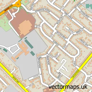
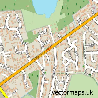
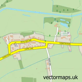
This Waddington street map is a detailed vector street map covering a 750m x 750m area. Select a larger area to create and download your own vector street map of Waddington.
The 750-metre map sample for Waddington covers 515 mapped buildings and approximately 26.3 km of road detail, of which 37 named roads are named. The immediate area includes 1 school, 1 GP surgery within 2 miles, 3 pubs and 1 MOT station, with 5 within 2 miles. The wider area around Waddington features 7 food and drink venues. To create a larger or custom map of Waddington, the map builder lets you define your own coverage area and download editable SVG, PDF and PNG files.
Create a larger editable map of Waddington
Choose any area you need and generate a high-quality vector map instantly. Perfect for print, planning, design, business and personal use.

This Waddington street map in Lincolnshire is available as downloadable SVG, PDF and PNG map files, or as a printed map for planning, business, display, education, local information and design work. You can also create a larger custom map area using the map selector.
What this Waddington map sample shows
Waddington lies within Waddington Cp parish, part of Bracebridge Heath And Waddington East ward in the North Kesteven District local authority area. The postcode geography for this area includes the LN postcode area, the LN5 postcode district and the LN5 9 postcode sector. Residents fall under the Nhs Lincolnshire Integrated Care Board for NHS services.
Local features near Waddington
Within 2 milesAmenities and services in and around Waddington.
Administrative and postcode information for Waddington
Waddington lies within Waddington Cp parish, part of Bracebridge Heath And Waddington East ward in the North Kesteven District local authority area. The postcode geography for this area includes the LN postcode area, the LN5 postcode district and the LN5 9 postcode sector. Residents fall under the Nhs Lincolnshire Integrated Care Board for NHS services.
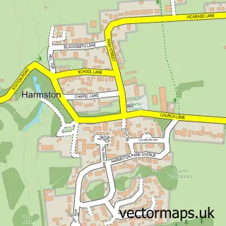
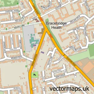
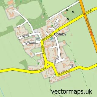
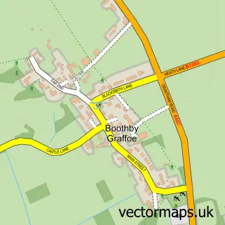
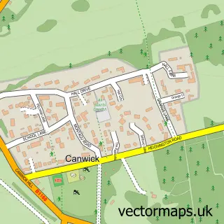
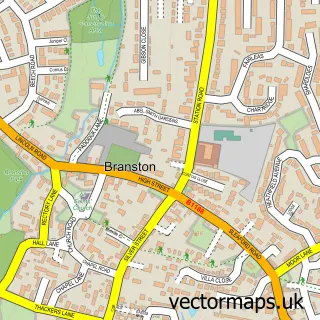
Nearby street map samples around Waddington

More street maps in Lincolnshire
750 metre map area coverage
Boundary, postcode and point of interest information for the 750m x 750m rectangle centred on this sample map.
Boundaries containing map centre
Constituency: Lincoln Boro Const
County: Lincolnshire County
District: North Kesteven District
Icb: NHS Lincolnshire ICB
Parish: Waddington CP
Police Force: lincolnshire
Postcode District: LN5
Postcode Sector: LN5 9
Ward: Waddington Rural Ward
Nearby boundaries intersecting sample
No additional intersecting boundaries found.
Postcode coverage
POI category counts
Automotive Repair: 4
Hair Salon: 4
Beauty And Spa: 3
Beauty Salon: 3
Doctor: 3
Landscaping: 3
Pub: 3
Cafe: 2
Coffee Shop: 2
Convenience Store: 2
Sample points of interest
- Lincoln Signs & Services
- St Michael's Church, Waddington
- DM Classics and Auto Repairs
- Heighington Garage
- Quarry Bodyworks
- Vulcan Motor Engineering
- Wheatsheaf Inn
- Beauty @ 21
- Sara’s glow studio
- Symphony Hair Studio
- Once Upon a Nail
- Pink Unicorn Beauty UK
Create a larger editable map of Waddington
This sample shows only a 750 metre area. To create a larger map of Waddington, use our map builder to choose your own coverage area, add titles and download editable SVG, PDF and PNG files.
Create a custom map of Waddington