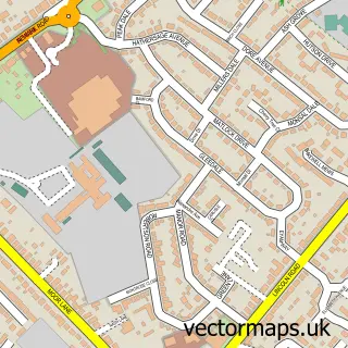
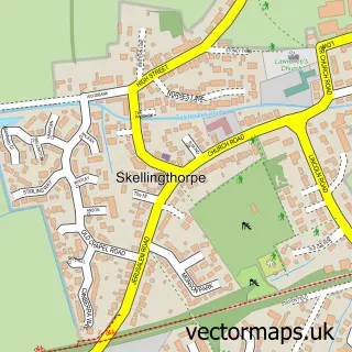
This Hykeham Moor street map is a detailed vector street map covering a 750m x 750m area. Select a larger area to create and download your own vector street map of Hykeham Moor.
The 750-metre map sample for Hykeham Moor covers 617 mapped buildings and approximately 19.4 km of road detail, of which 33 named roads are named. The immediate area includes 1 GP surgery within 2 miles and 15 MOT stations within 2 miles. The wider area around Hykeham Moor features 1 tourism point of interest, 1 food and drink venue and 1 hotel. To create a larger or custom map of Hykeham Moor, the map builder lets you define your own coverage area and download editable SVG, PDF and PNG files.
Create a larger editable map of Hykeham Moor
Choose any area you need and generate a high-quality vector map instantly. Perfect for print, planning, design, business and personal use.

This Hykeham Moor street map in Lincolnshire is available as downloadable SVG, PDF and PNG map files, or as a printed map for planning, business, display, education, local information and design work. You can also create a larger custom map area using the map selector.
What this Hykeham Moor map sample shows
Hykeham Moor lies within South Hykeham Cp parish, part of Bassingham And Brant Broughton ward in the North Kesteven District local authority area. The postcode geography for this area includes the LN postcode area, the LN6 postcode district and the LN6 9 postcode sector. Residents fall under the Nhs Lincolnshire Integrated Care Board for NHS services.
Local features near Hykeham Moor
Within 2 milesAmenities and services in and around Hykeham Moor.
Administrative and postcode information for Hykeham Moor
The local authority covering Hykeham Moor is North Kesteven District, within the county of Lincolnshire. The settlement lies within Bassingham And Brant Broughton ward and South Hykeham Cp civil parish. The LN6 postcode district and LN6 9 postcode sector serve the immediate area. NHS provision in the area is delivered through United Lincolnshire Hospitals Nhs Trust.
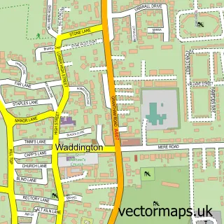
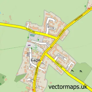
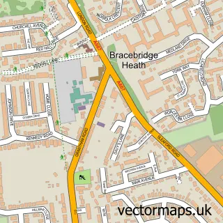
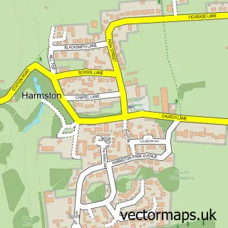
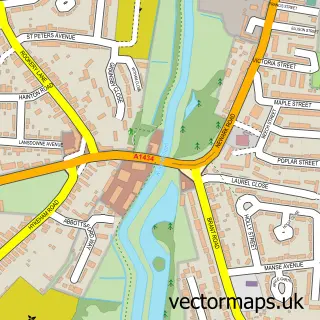
Nearby street map samples around Hykeham Moor

More street maps in Lincolnshire
750 metre map area coverage
Boundary, postcode and point of interest information for the 750m x 750m rectangle centred on this sample map.
Boundaries containing map centre
Constituency: Sleaford and North Hykeham Co Const
County: Lincolnshire County
District: North Kesteven District
Icb: NHS Lincolnshire ICB
Parish: North Hykeham CP
Police Force: lincolnshire
Postcode District: LN6
Postcode Sector: LN6 9
Ward: Hykeham Fosse Ward
Nearby boundaries intersecting sample
Parish: South Hykeham CP
Postcode Sector: LN6 8
Ward: Hykeham Memorial Ward
Postcode coverage
POI category counts
Convenience Store: 5
Automotive Repair: 3
Beauty And Spa: 3
Beauty Salon: 3
Bed And Breakfast: 2
Electrician: 2
Gas Station: 2
Home Service: 2
Professional Services: 2
Rental Kiosks: 2
Sample points of interest
- C W Motor Co
- Cemex UK
- D13 Car Body Repairs Lincoln
- Beauty retreat
- Katie Priest Beauty
- The beauty box by Gracie
- Cornflower Beauty
- High Maintenance
- The Beauty Room by Carla Stafford
- Eagles Guest House
- The Gables Guesthouse
- Poachers Brewery
Create a larger editable map of Hykeham Moor
This sample shows only a 750 metre area. To create a larger map of Hykeham Moor, use our map builder to choose your own coverage area, add titles and download editable SVG, PDF and PNG files.
Create a custom map of Hykeham Moor