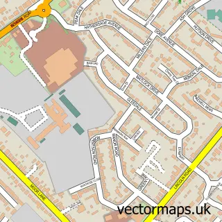
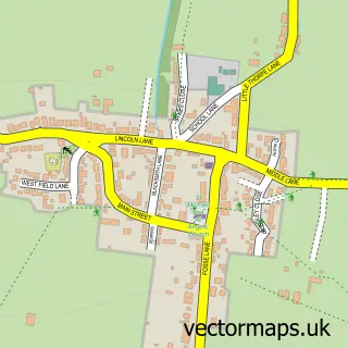
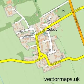
This Aubourn street map is a detailed vector street map covering a 750m x 750m area. Select a larger area to create and download your own vector street map of Aubourn.
The 750-metre map sample for Aubourn covers 89 mapped buildings and approximately 5.5 km of road detail, of which 6 named roads are named. The immediate area includes 1 pub and 5 MOT stations within 2 miles. The wider area around Aubourn features 2 tourism points of interest and 1 food and drink venue. To create a larger or custom map of Aubourn, the map builder lets you define your own coverage area and download editable SVG, PDF and PNG files.
Create a larger editable map of Aubourn
Choose any area you need and generate a high-quality vector map instantly. Perfect for print, planning, design, business and personal use.

This Aubourn street map in Lincolnshire is available as downloadable SVG, PDF and PNG map files, or as a printed map for planning, business, display, education, local information and design work. You can also create a larger custom map area using the map selector.
What this Aubourn map sample shows
Aubourn lies within Aubourn With Haddington Cp parish, part of Bassingham And Brant Broughton ward in the North Kesteven District local authority area. The postcode geography for this area includes the LN postcode area, the LN5 postcode district and the LN5 9 postcode sector. Residents fall under the Nhs Lincolnshire Integrated Care Board for NHS services.
Local features near Aubourn
Within 2 milesAmenities and services in and around Aubourn.
Administrative and postcode information for Aubourn
The local authority covering Aubourn is North Kesteven District, within the county of Lincolnshire. The settlement lies within Bassingham And Brant Broughton ward and Aubourn With Haddington Cp civil parish. The LN5 postcode district and LN5 9 postcode sector serve the immediate area. NHS provision in the area is delivered through United Lincolnshire Hospitals Nhs Trust.
Nearby street map samples around Aubourn

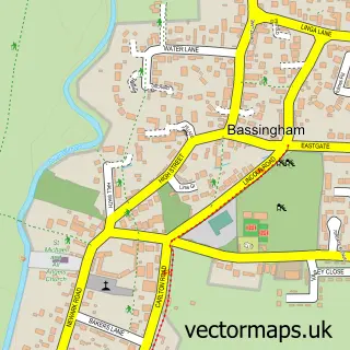
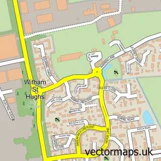
More street maps in Lincolnshire
750 metre map area coverage
Boundary, postcode and point of interest information for the 750m x 750m rectangle centred on this sample map.
Boundaries containing map centre
Constituency: Sleaford and North Hykeham Co Const
County: Lincolnshire County
District: North Kesteven District
Icb: NHS Lincolnshire ICB
Parish: Aubourn with Haddington CP
Police Force: lincolnshire
Postcode District: LN5
Postcode Sector: LN5 9
Ward: Witham St. Hughs & Swinderby Ward
Nearby boundaries intersecting sample
Parish: South Hykeham CP
Ward: Hykeham Fosse Ward
Postcode coverage
POI category counts
Church Cathedral: 2
Landmark And Historical Building: 2
Anglican Church: 1
Cottage: 1
Counseling And Mental Health: 1
Education: 1
Gastropub: 1
Health And Medical: 1
Hvac Supplier: 1
Plumbing: 1
Sample points of interest
- St Peter
- Aubourn C of E Church
- St Peters Church
- Bryre Cottage
- Aubourn Counselling
- TCB Training Services
- Royal Oak Aubourn
- T C B Training Services
- D. Govier Plumbing Services
- Aubourn
- Aubourn Estate
- NGA Mechanical Services
Create a larger editable map of Aubourn
This sample shows only a 750 metre area. To create a larger map of Aubourn, use our map builder to choose your own coverage area, add titles and download editable SVG, PDF and PNG files.
Create a custom map of Aubourn