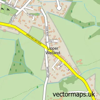
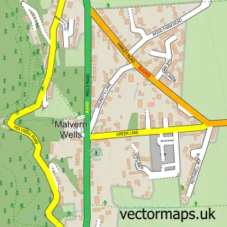
This Welland street map is a detailed vector street map covering a 750m x 750m area. Select a larger area to create and download your own vector street map of Welland.
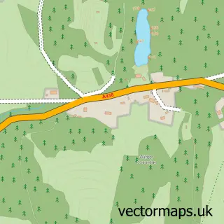
The 750-metre map sample for Welland covers 333 mapped buildings and approximately 33.4 km of road detail, of which 16 named roads are named. The immediate area includes 1 school and 1 MOT station, with 2 within 2 miles. The wider area around Welland features 1 hotel and 2 campsites within 2 miles. To create a larger or custom map of Welland, the map builder lets you define your own coverage area and download editable SVG, PDF and PNG files.
Create a larger editable map of Welland
Choose any area you need and generate a high-quality vector map instantly. Perfect for print, planning, design, business and personal use.

This Welland street map in Worcestershire is available as downloadable SVG, PDF and PNG map files, or as a printed map for planning, business, display, education, local information and design work. You can also create a larger custom map area using the map selector.
What this Welland map sample shows
Welland lies within Welland Cp parish, part of Morton ward in the Malvern Hills District local authority area. The postcode geography for this area includes the WR postcode area, the WR13 postcode district and the WR13 6 postcode sector. Residents fall under the Nhs Herefordshire And Worcestershire Integrated Care Board for NHS services.
Local features near Welland
Within 2 milesAmenities and services in and around Welland.
Administrative and postcode information for Welland
The local authority covering Welland is Malvern Hills District, within the county of Worcestershire. The settlement lies within Morton ward and Welland Cp civil parish. The WR13 postcode district and WR13 6 postcode sector serve the immediate area. NHS provision in the area is delivered through Worcestershire Acute Hospitals Nhs Trust.
Nearby street map samples around Welland
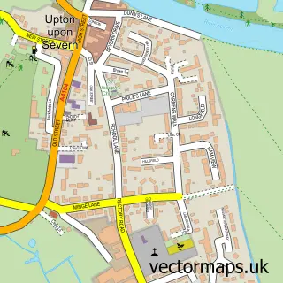

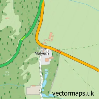
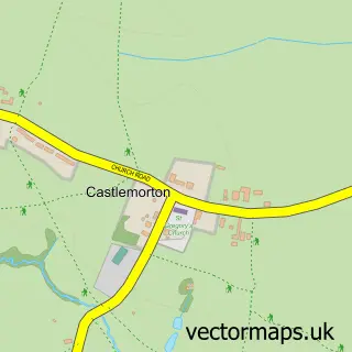
More street maps in Worcestershire
750 metre map area coverage
Boundary, postcode and point of interest information for the 750m x 750m rectangle centred on this sample map.
Boundaries containing map centre
Constituency: West Worcestershire Co Const
County: Worcestershire County
District: Malvern Hills District
Icb: NHS Herefordshire and Worcestershire ICB
Parish: Welland CP
Police Force: west mercia
Postcode District: WR13
Postcode Sector: WR13 6
Ward: Castlemorton, Welland & Wells Ward
Nearby boundaries intersecting sample
No additional intersecting boundaries found.
Postcode coverage
POI category counts
Party Equipment Rental: 2
Preschool: 2
Amateur Sports Team: 1
Business Management Services: 1
Church Cathedral: 1
Convenience Store: 1
Education: 1
Elementary School: 1
Employment Agencies: 1
Graphic Designer: 1
Sample points of interest
- Welland Junior Football Club
- Nelson Training
- St James Church
- Londis
- Oakwood Forest School
- Welland Primary School
- Leisure Solutions
- Amy Louise Hughes Designs
- The Old Police House Bed & Breakfast
- Welland Library
- Sunnyside Filling Station
- West Country Marquees
Create a larger editable map of Welland
This sample shows only a 750 metre area. To create a larger map of Welland, use our map builder to choose your own coverage area, add titles and download editable SVG, PDF and PNG files.
Create a custom map of Welland