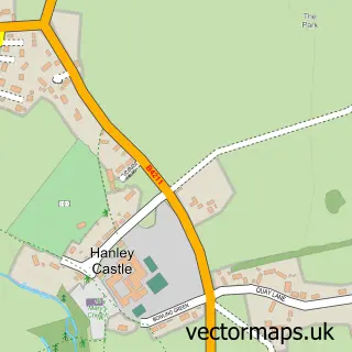
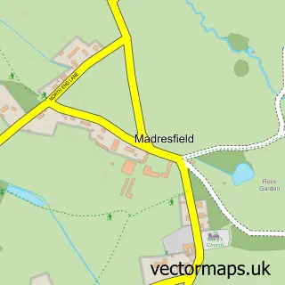
This Hanley Swan street map is a detailed vector street map covering a 750m x 750m area. Select a larger area to create and download your own vector street map of Hanley Swan.
The 750-metre map sample for Hanley Swan covers 231 mapped buildings and approximately 24.4 km of road detail, of which 9 named roads are named. The wider area around Hanley Swan features 1 tourism point of interest and 1 campsite within 2 miles. To create a larger or custom map of Hanley Swan, the map builder lets you define your own coverage area and download editable SVG, PDF and PNG files.
Create a larger editable map of Hanley Swan
Choose any area you need and generate a high-quality vector map instantly. Perfect for print, planning, design, business and personal use.

This Hanley Swan street map in Worcestershire is available as downloadable SVG, PDF and PNG map files, or as a printed map for planning, business, display, education, local information and design work. You can also create a larger custom map area using the map selector.
What this Hanley Swan map sample shows
Hanley Swan lies within Hanley Castle Cp parish, part of Upton And Hanley ward in the Malvern Hills District local authority area. The postcode geography for this area includes the WR postcode area, the WR8 postcode district and the WR8 0 postcode sector. Residents fall under the Nhs Herefordshire And Worcestershire Integrated Care Board for NHS services.
Local features near Hanley Swan
Within 2 milesAmenities and services in and around Hanley Swan.
Administrative and postcode information for Hanley Swan
Hanley Swan lies within Hanley Castle Cp parish, part of Upton And Hanley ward in the Malvern Hills District local authority area. The postcode geography for this area includes the WR postcode area, the WR8 postcode district and the WR8 0 postcode sector. Residents fall under the Nhs Herefordshire And Worcestershire Integrated Care Board for NHS services.
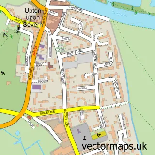
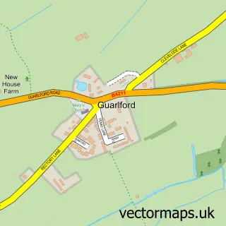
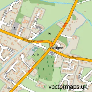
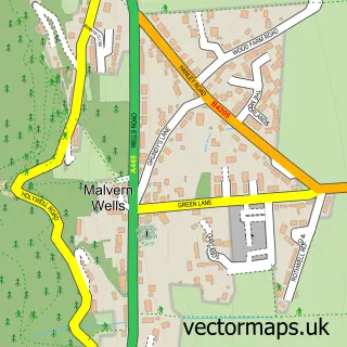
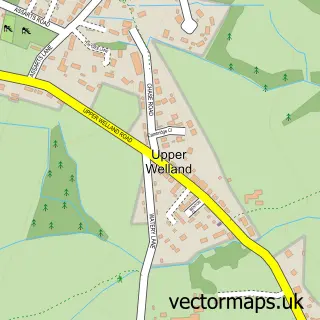
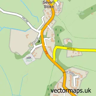
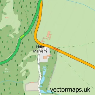
Nearby street map samples around Hanley Swan

More street maps in Worcestershire
750 metre map area coverage
Boundary, postcode and point of interest information for the 750m x 750m rectangle centred on this sample map.
Boundaries containing map centre
Constituency: West Worcestershire Co Const
County: Worcestershire County
District: Malvern Hills District
Icb: NHS Herefordshire and Worcestershire ICB
Parish: Hanley Castle CP
Police Force: west mercia
Postcode District: WR8
Postcode Sector: WR8 0
Ward: Powick & the Hanleys Ward
Nearby boundaries intersecting sample
No additional intersecting boundaries found.
Postcode coverage
POI category counts
Bed And Breakfast: 4
Professional Services: 3
Convenience Store: 2
Anglican Church: 1
Aquarium: 1
Arts And Crafts: 1
Beer Bar: 1
Campground: 1
Carpenter: 1
Engineering Services: 1
Sample points of interest
- St Gabriel
- Merebrook Water Plants
- Funky Farm Scrapbook Barn
- Orchard Side Bed & Breakfast
- Orchard Side Bed And Breakfast
- Orchard Side Bed And Breakfast & The Annex
- Orchard Side Bed and Breakfast
- Ray’s Bar
- The Caravan Club
- Malvern renovation
- Hanley Swan Village Stores
- Hanley Swan Village Stores
Create a larger editable map of Hanley Swan
This sample shows only a 750 metre area. To create a larger map of Hanley Swan, use our map builder to choose your own coverage area, add titles and download editable SVG, PDF and PNG files.
Create a custom map of Hanley Swan