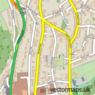
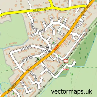
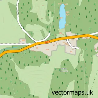
This Upper Welland street map is a detailed vector street map covering a 750m x 750m area. Select a larger area to create and download your own vector street map of Upper Welland.
The 750-metre map sample for Upper Welland covers 170 mapped buildings and approximately 20.3 km of road detail, of which 9 named roads are named. The immediate area includes 1 GP surgery within 2 miles and 3 MOT stations within 2 miles. The wider area around Upper Welland features 3 campsites within 2 miles. To create a larger or custom map of Upper Welland, the map builder lets you define your own coverage area and download editable SVG, PDF and PNG files.
Create a larger editable map of Upper Welland
Choose any area you need and generate a high-quality vector map instantly. Perfect for print, planning, design, business and personal use.

This Upper Welland street map in Worcestershire is available as downloadable SVG, PDF and PNG map files, or as a printed map for planning, business, display, education, local information and design work. You can also create a larger custom map area using the map selector.
What this Upper Welland map sample shows
Upper Welland lies within Little Malvern Cp parish, part of Wells ward in the Malvern Hills District local authority area. The postcode geography for this area includes the WR postcode area, the WR14 postcode district and the WR14 4 postcode sector. Residents fall under the Nhs Herefordshire And Worcestershire Integrated Care Board for NHS services.
Local features near Upper Welland
Within 2 milesAmenities and services in and around Upper Welland.
Administrative and postcode information for Upper Welland
Upper Welland lies within Little Malvern Cp parish, part of Wells ward in the Malvern Hills District local authority area. The postcode geography for this area includes the WR postcode area, the WR14 postcode district and the WR14 4 postcode sector. Residents fall under the Nhs Herefordshire And Worcestershire Integrated Care Board for NHS services.
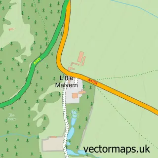
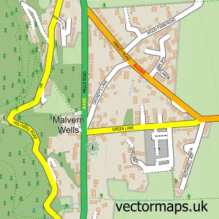
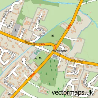
Nearby street map samples around Upper Welland

More street maps in Worcestershire
750 metre map area coverage
Boundary, postcode and point of interest information for the 750m x 750m rectangle centred on this sample map.
Boundaries containing map centre
Constituency: West Worcestershire Co Const
County: Worcestershire County
District: Malvern Hills District
Icb: NHS Herefordshire and Worcestershire ICB
Parish: Malvern Wells CP
Police Force: west mercia
Postcode District: WR14
Postcode Sector: WR14 4
Ward: Castlemorton, Welland & Wells Ward
Nearby boundaries intersecting sample
Parish: Little Malvern CP, Welland CP
Postcode coverage
POI category counts
Pet Groomer: 2
Alternative Medicine: 1
Audiovisual Equipment Rental: 1
Cleaning Services: 1
Computer Store: 1
Contractor: 1
Hypnosis Hypnotherapy: 1
Music School: 1
Retirement Home: 1
Scout Hall: 1
Sample points of interest
- What Is Eft & Matrix
- Stage Services Event Production
- The Clearance Company
- Electrical Sales & Service
- J Watling Landscapes
- Jean Whittle
- Singing & Guitar Tuition
- Dog Grooming By Shell
- Snoops Dog Grooming Parlour
- The Chace
- 1st Malvern Wells
- Sarah Shaw Wellbeing
Create a larger editable map of Upper Welland
This sample shows only a 750 metre area. To create a larger map of Upper Welland, use our map builder to choose your own coverage area, add titles and download editable SVG, PDF and PNG files.
Create a custom map of Upper Welland