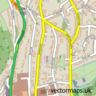
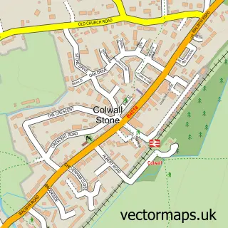
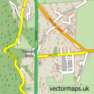
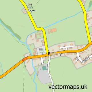
This Colwall street map is a detailed vector street map covering a 750m x 750m area. Select a larger area to create and download your own vector street map of Colwall.
The 750-metre map sample for Colwall covers 23 mapped buildings and approximately 17.2 km of road detail, of which 2 named roads are named. The immediate area includes 1 GP surgery within 2 miles, 1 pub and 1 MOT station within 2 miles. The wider area around Colwall features 2 food and drink venues and 1 campsite within 2 miles. To create a larger or custom map of Colwall, the map builder lets you define your own coverage area and download editable SVG, PDF and PNG files.
Create a larger editable map of Colwall
Choose any area you need and generate a high-quality vector map instantly. Perfect for print, planning, design, business and personal use.

This Colwall street map in Herefordshire is available as downloadable SVG, PDF and PNG map files, or as a printed map for planning, business, display, education, local information and design work. You can also create a larger custom map area using the map selector.
What this Colwall map sample shows
Colwall lies within Colwall Cp parish, part of Hope End ward in the County Of Herefordshire local authority area. The postcode geography for this area includes the WR postcode area, the WR13 postcode district and the WR13 6 postcode sector. Residents fall under the Nhs Herefordshire And Worcestershire Integrated Care Board for NHS services.
Local features near Colwall
Within 2 milesAmenities and services in and around Colwall.
Administrative and postcode information for Colwall
Colwall lies within Colwall Cp parish, part of Hope End ward in the County Of Herefordshire local authority area. The postcode geography for this area includes the WR postcode area, the WR13 postcode district and the WR13 6 postcode sector. Residents fall under the Nhs Herefordshire And Worcestershire Integrated Care Board for NHS services.
Nearby street map samples around Colwall

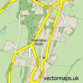
More street maps in Herefordshire
750 metre map area coverage
Boundary, postcode and point of interest information for the 750m x 750m rectangle centred on this sample map.
Boundaries containing map centre
Constituency: North Herefordshire Co Const
District: County of Herefordshire
Icb: NHS Herefordshire and Worcestershire ICB
Parish: Colwall CP
Police Force: west mercia
Postcode District: WR13
Postcode Sector: WR13 6
Ward: Hope End Ward
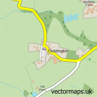
Nearby boundaries intersecting sample
Parish: Coddington CP
Postcode coverage
POI category counts
Anglican Church: 1
Automotive Repair: 1
Church Cathedral: 1
Event Technology Service: 1
Fishing Charter: 1
Fishing Club: 1
Movie Television Studio: 1
Pub: 1
Restaurant: 1
Retirement Home: 1
Sample points of interest
- Colwall: St James the Great
- Colwall MOT and Tyre Centre LTD
- St James's Church
- Two Cs Antiques Fairs
- The Fishponds
- The Fishponds
- I 2 I Digital
- Colwall Ale House
- The Loose Box at Barton Court
- Colwall Care Home, Malvern
- The Elms School
Create a larger editable map of Colwall
This sample shows only a 750 metre area. To create a larger map of Colwall, use our map builder to choose your own coverage area, add titles and download editable SVG, PDF and PNG files.
Create a custom map of Colwall