This Coddington street map is a detailed vector street map covering a 750m x 750m area. Select a larger area to create and download your own vector street map of Coddington.
The 750-metre map sample for Coddington covers 37 mapped buildings and approximately 13.5 km of road detail. The wider area around Coddington features 1 hotel. To create a larger or custom map of Coddington, the map builder lets you define your own coverage area and download editable SVG, PDF and PNG files.
Create a larger editable map of Coddington
Choose any area you need and generate a high-quality vector map instantly. Perfect for print, planning, design, business and personal use.

This Coddington street map in Herefordshire is available as downloadable SVG, PDF and PNG map files, or as a printed map for planning, business, display, education, local information and design work. You can also create a larger custom map area using the map selector.
What this Coddington map sample shows
Coddington lies within Coddington Cp parish, part of Hope End ward in the County Of Herefordshire local authority area. The postcode geography for this area includes the HR postcode area, the HR8 postcode district and the HR8 1 postcode sector. Residents fall under the Nhs Herefordshire And Worcestershire Integrated Care Board for NHS services.
Local features near Coddington
Within 2 milesAmenities and services in and around Coddington.
Administrative and postcode information for Coddington
The local authority covering Coddington is County Of Herefordshire, within the county of Herefordshire. The settlement lies within Hope End ward and Coddington Cp civil parish. The HR8 postcode district and HR8 1 postcode sector serve the immediate area. NHS provision in the area is delivered through Wye Valley Nhs Trust.
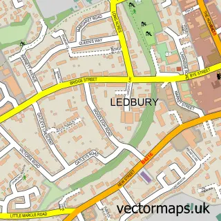
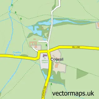
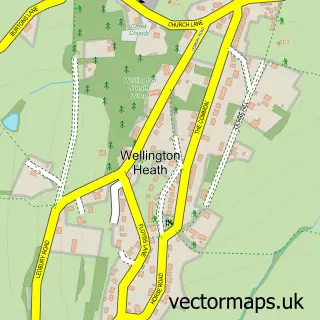
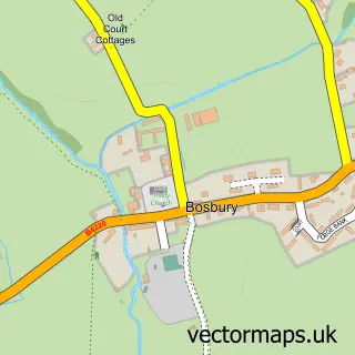
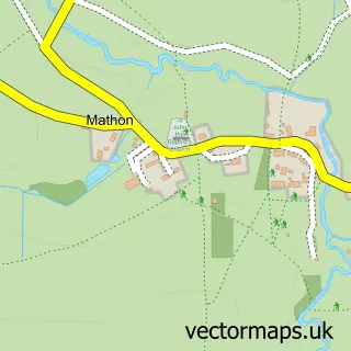
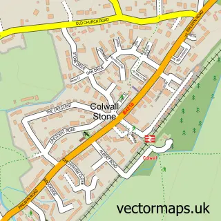
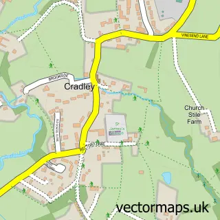
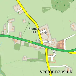
Nearby street map samples around Coddington

More street maps in Herefordshire
750 metre map area coverage
Boundary, postcode and point of interest information for the 750m x 750m rectangle centred on this sample map.
Boundaries containing map centre
Constituency: North Herefordshire Co Const
District: County of Herefordshire
Icb: NHS Herefordshire and Worcestershire ICB
Parish: Coddington CP
Police Force: west mercia
Postcode District: HR8
Postcode Sector: HR8 1
Ward: Hope End Ward
Nearby boundaries intersecting sample
Parish: Bosbury CP
Postcode coverage
POI category counts
Real Estate Agent: 2
Anglican Church: 1
Bed And Breakfast: 1
Buddhist Temple: 1
Hotel: 1
Lodge: 1
Winery: 1
Sample points of interest
- Coddington: All Saints
- Meerkat Manor B&B
- Adhisthana
- Mayfields Barn- Fabulously Free Range Farm Stays.
- Hedgehog Lodge Retreat
- 5 Consulting
- The Coach House
- Coddington Vineyard
Create a larger editable map of Coddington
This sample shows only a 750 metre area. To create a larger map of Coddington, use our map builder to choose your own coverage area, add titles and download editable SVG, PDF and PNG files.
Create a custom map of Coddington