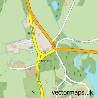
This Ledbury street map is a detailed vector street map covering a 750m x 750m area. Select a larger area to create and download your own vector street map of Ledbury.
The 750-metre map sample for Ledbury covers 526 mapped buildings and approximately 49.2 km of road detail, of which 37 named roads are named. The immediate area includes 1 GP surgery, 3 pubs and 4 MOT stations within 2 miles. The wider area around Ledbury features 1 tourism point of interest, 8 food and drink venues and 2 hotels. To create a larger or custom map of Ledbury, the map builder lets you define your own coverage area and download editable SVG, PDF and PNG files.
Create a larger editable map of Ledbury
Choose any area you need and generate a high-quality vector map instantly. Perfect for print, planning, design, business and personal use.

This Ledbury street map in Herefordshire is available as downloadable SVG, PDF and PNG map files, or as a printed map for planning, business, display, education, local information and design work. You can also create a larger custom map area using the map selector.
What this Ledbury map sample shows
Ledbury lies within Ledbury Cp parish, part of Ledbury North ward in the County Of Herefordshire local authority area. The postcode geography for this area includes the HR postcode area, the HR8 postcode district and the HR8 1 postcode sector. Residents fall under the Nhs Herefordshire And Worcestershire Integrated Care Board for NHS services.
Local features near Ledbury
Within 2 milesAmenities and services in and around Ledbury.
Administrative and postcode information for Ledbury
The local authority covering Ledbury is County Of Herefordshire, within the county of Herefordshire. The settlement lies within Ledbury North ward and Ledbury Cp civil parish. The HR8 postcode district and HR8 1 postcode sector serve the immediate area. NHS provision in the area is delivered through Wye Valley Nhs Trust.
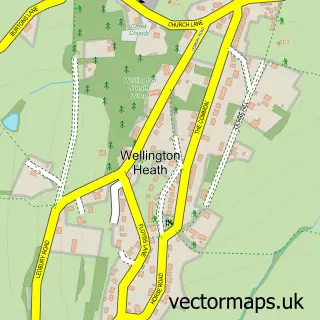
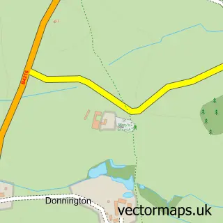
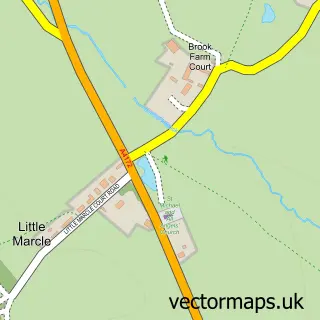
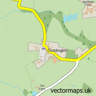
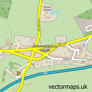
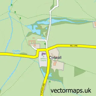
Nearby street map samples around Ledbury


More street maps in Herefordshire
750 metre map area coverage
Boundary, postcode and point of interest information for the 750m x 750m rectangle centred on this sample map.
Boundaries containing map centre
Constituency: North Herefordshire Co Const
District: County of Herefordshire
Icb: NHS Herefordshire and Worcestershire ICB
Parish: Ledbury CP
Police Force: west mercia
Postcode District: HR8
Postcode Sector: HR8 2
Ward: Ledbury North Ward
Nearby boundaries intersecting sample
Postcode Sector: HR8 1
Ward: Ledbury South Ward, Ledbury West Ward
Postcode coverage
POI category counts
Automotive Repair: 6
Community Services Non Profits: 5
Beauty Salon: 4
Clothing Store: 4
Coffee Shop: 4
Flowers And Gifts Shop: 4
Gym: 4
Antique Store: 3
Art Gallery: 3
Church Cathedral: 3
Sample points of interest
- Ledbury Minor Injury Unit
- The Law Factory LLP
- Ledbury Osteopathic Practice
- Miscellany antiques
- St Michaels Hospice Development Trust
- Sue Ryder
- Appliance Solutions
- Appliance Solutions
- Derrick Whittaker Architect
- Josh Thomas Design House
- Ledbury Poetry Festival
- Shell House Gallery
Create a larger editable map of Ledbury
This sample shows only a 750 metre area. To create a larger map of Ledbury, use our map builder to choose your own coverage area, add titles and download editable SVG, PDF and PNG files.
Create a custom map of Ledbury