This Eastnor street map is a detailed vector street map covering a 750m x 750m area. Select a larger area to create and download your own vector street map of Eastnor.
The 750-metre map sample for Eastnor covers 47 mapped buildings and approximately 20.6 km of road detail, of which 3 named roads are named. The immediate area includes 1 school, 1 GP surgery within 2 miles and 4 MOT stations within 2 miles. The wider area around Eastnor features 3 tourism points of interest and 1 food and drink venue. To create a larger or custom map of Eastnor, the map builder lets you define your own coverage area and download editable SVG, PDF and PNG files.
Create a larger editable map of Eastnor
Choose any area you need and generate a high-quality vector map instantly. Perfect for print, planning, design, business and personal use.

This Eastnor street map in Herefordshire is available as downloadable SVG, PDF and PNG map files, or as a printed map for planning, business, display, education, local information and design work. You can also create a larger custom map area using the map selector.
What this Eastnor map sample shows
Eastnor lies within Eastnor Cp parish, part of Ledbury South ward in the County Of Herefordshire local authority area. The postcode geography for this area includes the HR postcode area, the HR8 postcode district and the HR8 1 postcode sector. Residents fall under the Nhs Herefordshire And Worcestershire Integrated Care Board for NHS services.
Local features near Eastnor
Within 2 milesAmenities and services in and around Eastnor.
Administrative and postcode information for Eastnor
Eastnor lies within Eastnor Cp parish, part of Ledbury South ward in the County Of Herefordshire local authority area. The postcode geography for this area includes the HR postcode area, the HR8 postcode district and the HR8 1 postcode sector. Residents fall under the Nhs Herefordshire And Worcestershire Integrated Care Board for NHS services.
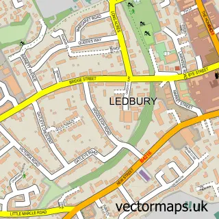
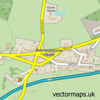
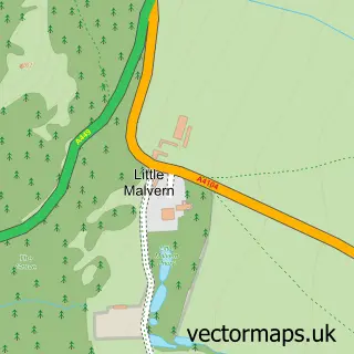
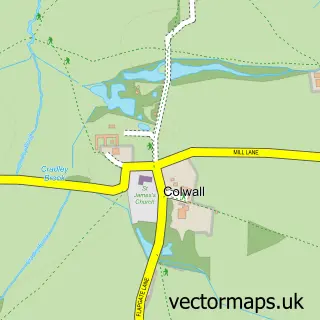
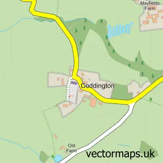
Nearby street map samples around Eastnor


More street maps in Herefordshire
750 metre map area coverage
Boundary, postcode and point of interest information for the 750m x 750m rectangle centred on this sample map.
Boundaries containing map centre
Constituency: North Herefordshire Co Const
District: County of Herefordshire
Icb: NHS Herefordshire and Worcestershire ICB
Parish: Eastnor CP
Police Force: west mercia
Postcode District: HR8
Postcode Sector: HR8 1
Ward: Ledbury South Ward
Nearby boundaries intersecting sample
No additional intersecting boundaries found.
Postcode coverage
POI category counts
Castle: 2
Anglican Church: 1
Arts And Crafts: 1
Bakery: 1
Business Management Services: 1
Coffee Shop: 1
Costume Store: 1
Cricket Ground: 1
Driving School: 1
Elementary School: 1
Sample points of interest
- Eastnor: St John the Baptist
- Eastnor Pottery
- Home Farm Kitchen Bespoke Cakes
- Land Rover Experience
- Eastnor Castle
- Eastnor Castle
- The Woodshed
- Norton Armouries
- Eastnor Cricket Club
- MG Training Services
- Eastnor Parochial Primary School
- The Stables Apartment
Create a larger editable map of Eastnor
This sample shows only a 750 metre area. To create a larger map of Eastnor, use our map builder to choose your own coverage area, add titles and download editable SVG, PDF and PNG files.
Create a custom map of Eastnor